
Chilly weekend ahead with a taste of winter in southwest Minnesota
Sunday morning wind chills in the single digits

Go Deeper.
Create an account or log in to save stories.
Like this?
Thanks for liking this story! We have added it to a list of your favorite stories.


A fast-moving Alberta clipper is sliding south of the region for Saturday, bringing accumulating snow to extreme southwestern Minnesota. Behind it, cold Canadian air will settle in, keeping highs near freezing and pushing wind chills into the single digits by early Sunday morning.
Winter makes a quick visit to southwest Minnesota
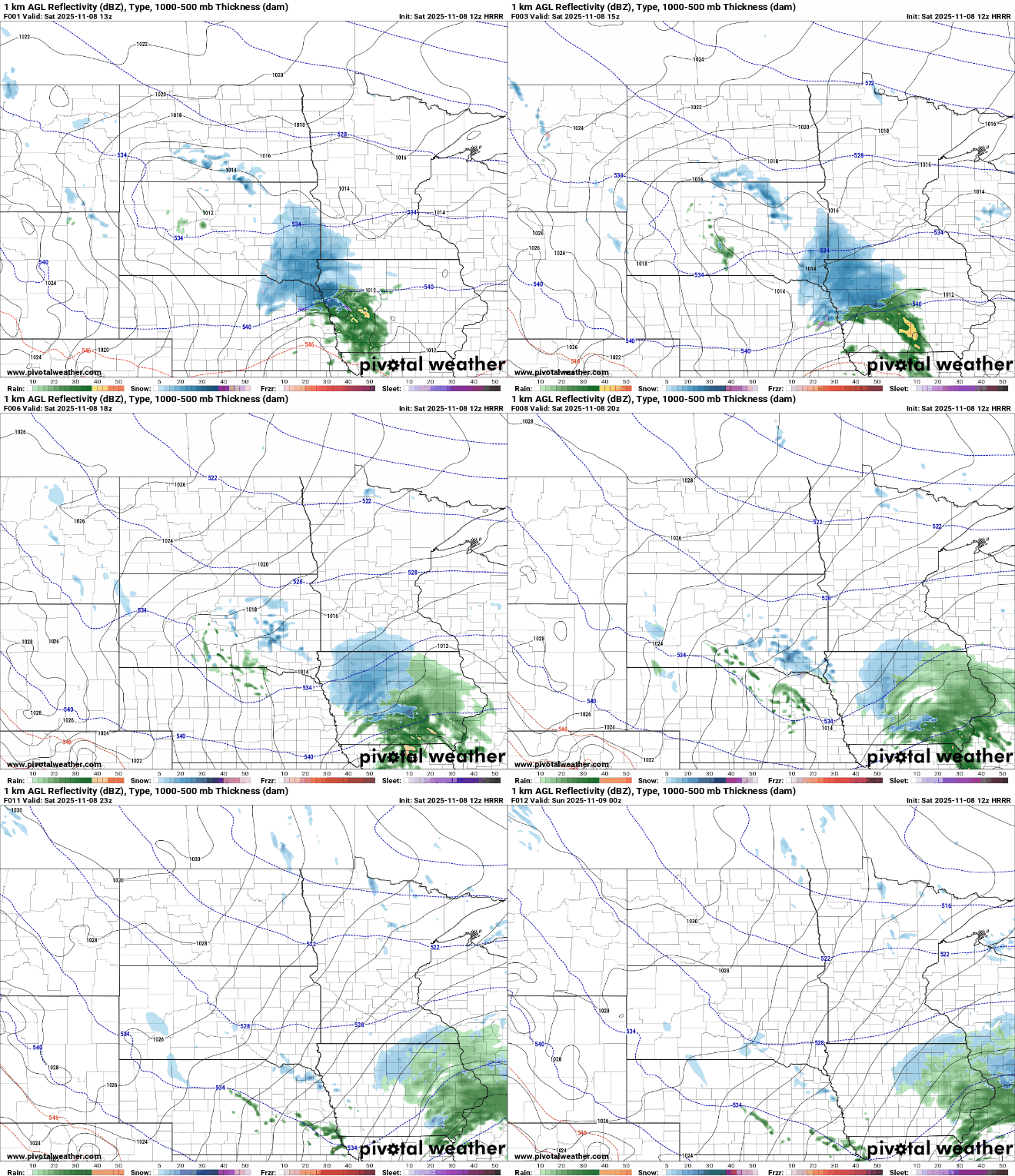
An Alberta clipper system will skirt just south of the region today, bringing accumulating snow to southeastern South Dakota, northwestern Iowa and southern Minnesota.
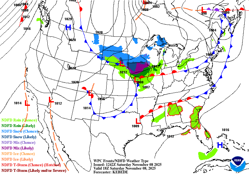
Slushy accumulations of around an inch or two are possible for areas along and south of Interstate 90, with higher amounts likely closer to the Iowa border. Flurries are possible just north of the system, including the metro area.
Turn Up Your Support
MPR News helps you turn down the noise and build shared understanding. Turn up your support for this public resource and keep trusted journalism accessible to all.
Rock county in southwestern Minnesota is under a winter weather advisory until noon Saturday.

Our fast moving clipper will exit the area by Saturday night, leaving a cold Canadian airmass in its wake.
Chilly start to deer opener
The coldest air of the season is arriving just in time for Minnesota’s firearm deer opener this weekend. This cold Canadian airmass will halt temperatures to barely around freezing for afternoon highs, with morning lows dipping into the teens by early Sunday.

Sunday will feature northwest winds increasing to 5-15 mph. Combined with morning lows in the teens, it will make for bitter wind chill values in the single digits.

The cold snap won’t last long. Next week, a warming trend will push highs back into the 50s, and southwestern Minnesota could even see a few spots reach the 60s.

