
Another frigid night ahead: bitterly cold wind chills continue
Warming trend builds this week

Go Deeper.
Create an account or log in to save stories.
Like this?
Thanks for liking this story! We have added it to a list of your favorite stories.


Following another night of bitterly cold conditions, temperatures are expected to moderate as a gradual warming trend develops this week.
Mid-December temperatures
An unseasonably cold air mass has settled over the area, bringing temperatures that resemble mid-December rather than early November. Sunday night lows will fall into the upper teens to lower 20s, accompanied by brisk northwest winds. These winds will drive wind chill values into the single digits and lower teens by early Monday morning.
High pressure will bring a chilly but calmer start to what is expected to be a largely uneventful weather week. Our high temperatures will be slightly warmer than Sunday, inching into the low to mid-30s.

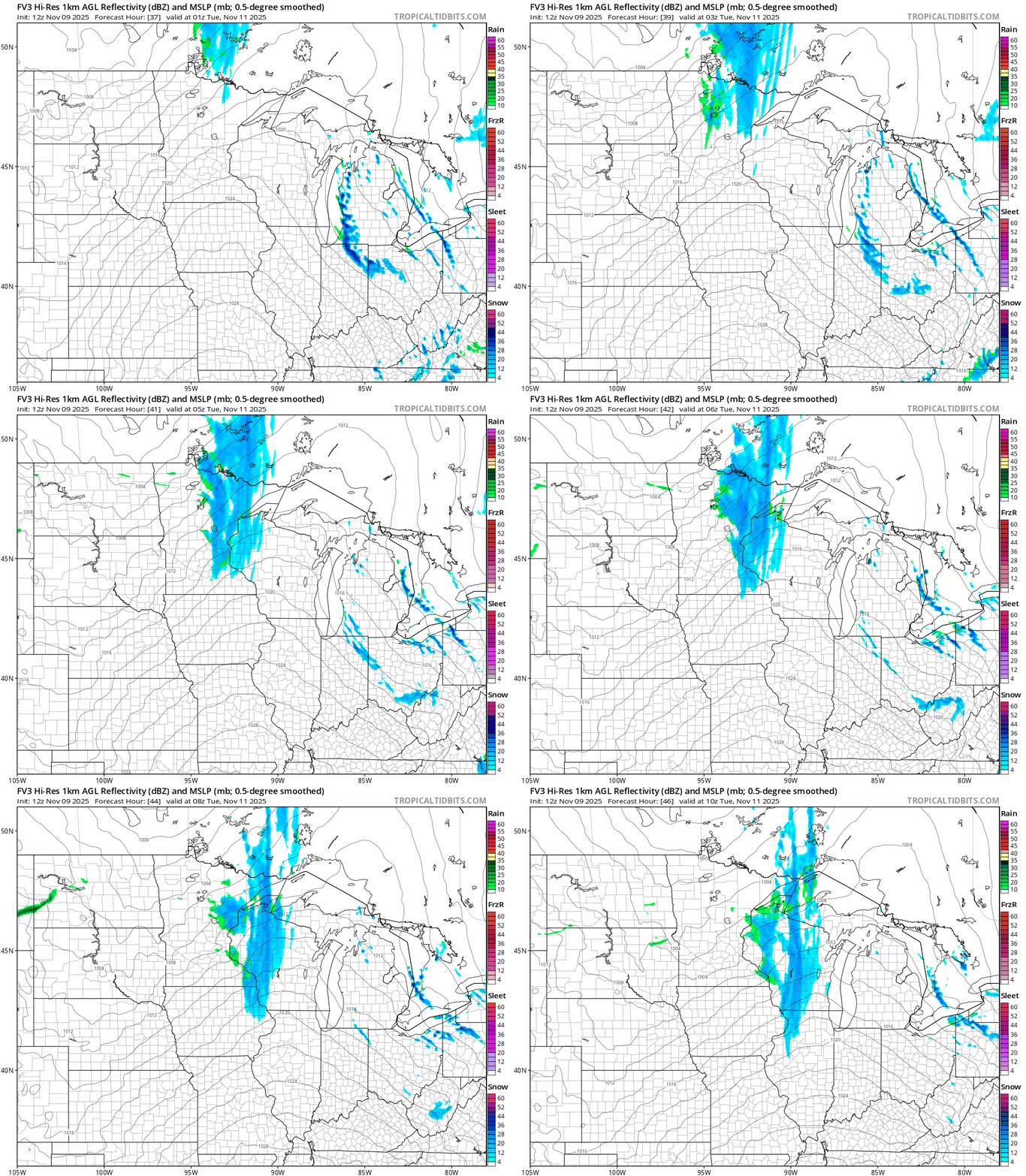
We will see several smaller disturbances move through this week, though they are largely moisture-starved. These systems could produce occasional flurries or light snow at times. The next disturbance is expected to primarily affect the Northland and eastern Minnesota into western Wisconsin from Monday night into early Tuesday.
A gradual warming trend will build through the week, with seasonal highs in the 40s and 50s returning by Tuesday. Temperatures are expected to remain slightly above normal for the remainder of the week, with the potential for some 60-degree readings in southwestern Minnesota by Friday.

Turn Up Your Support
MPR News helps you turn down the noise and build shared understanding. Turn up your support for this public resource and keep trusted journalism accessible to all.

