
Season's coldest morning yet: Light flurries sweep across the region
Brisk northwest winds create a wind chill factor

Go Deeper.
Create an account or log in to save stories.
Like this?
Thanks for liking this story! We have added it to a list of your favorite stories.


Brisk northwest winds create a biting wind chill factor for Sunday, with temperatures staying below freezing and light snow flurries expected.
Taste of winter
Saturday’s Clipper system brought some of the season’s first accumulating snowfall to southwestern and southern Minnesota. The highest totals were recorded in Iowa and South Dakota, with around 5 inches of snow, while areas like Wilmont saw 4 inches, Brewster 3.5 inches, and Hardwick and Pipestone each picked up about 3 inches.

A cold, Canadian airmass has brought the season’s coldest temperatures thus far. Sunday morning air temperatures were in the chilly teens and low 20s across the state.
Blustery northwest winds between 10 and 20 mph will blow throughout Sunday, continuing into Sunday night before diminishing into Monday morning.
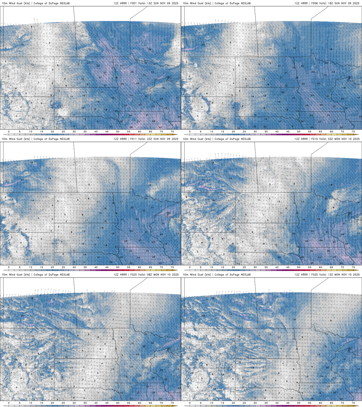
High temperatures will struggle to reach the upper 20s to low 30s, with wind chill values in the teens, making for a chilly Sunday.

Light flurries are expected across the state, with little to no accumulation anticipated. However, northern Minnesota could see a quick coating of up to half an inch to an inch of snow before Monday morning.

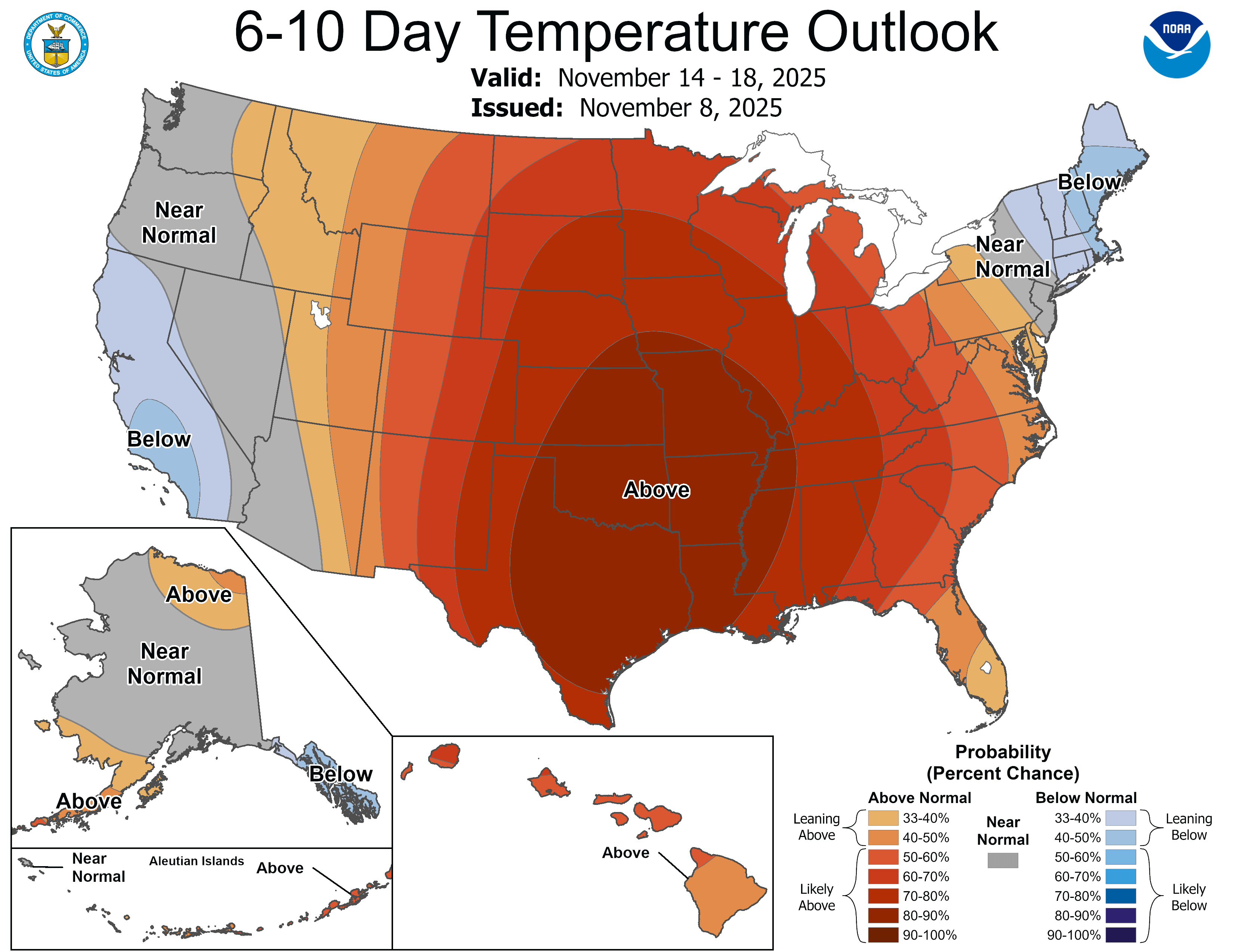
Temperatures will trend warmer throughout the week, with seasonal highs in the 40s expected by Tuesday. A jump into the 50s — and possibly even low 60s — is forecast by the end of the week. There’s no sign of truly winter-like temperatures sticking around for at least the next week or two.
Turn Up Your Support
MPR News helps you turn down the noise and build shared understanding. Turn up your support for this public resource and keep trusted journalism accessible to all.

