
A cold day Monday with above-normal temperatures for the remainder of the week
We could receive some much needed moisture this weekend

Go Deeper.
Create an account or log in to save stories.
Like this?
Thanks for liking this story! We have added it to a list of your favorite stories.


It’s another very cold morning early Monday and the day will remain colder than normal. A clipper system brings some showers to northeastern Minnesota Monday night. Warmer air returns Tuesday.
Cold Monday, but above-normal temps return Tuesday into the weekend
It’s another cold start with temperatures starting out in the 20s and even the teens for some. It’ll be another day where we do not reach 40 degrees for highs across most of Minnesota this afternoon.
We’ll have a mix of clouds and sun, but winds will be light for most except the Red River Valley.

A clipper system pushes clouds in later Monday into Monday night. There will be some scattered rain and snow showers mainly for just northeastern Minnesota Monday night into early Tuesday.
Turn Up Your Support
MPR News helps you turn down the noise and build shared understanding. Turn up your support for this public resource and keep trusted journalism accessible to all.
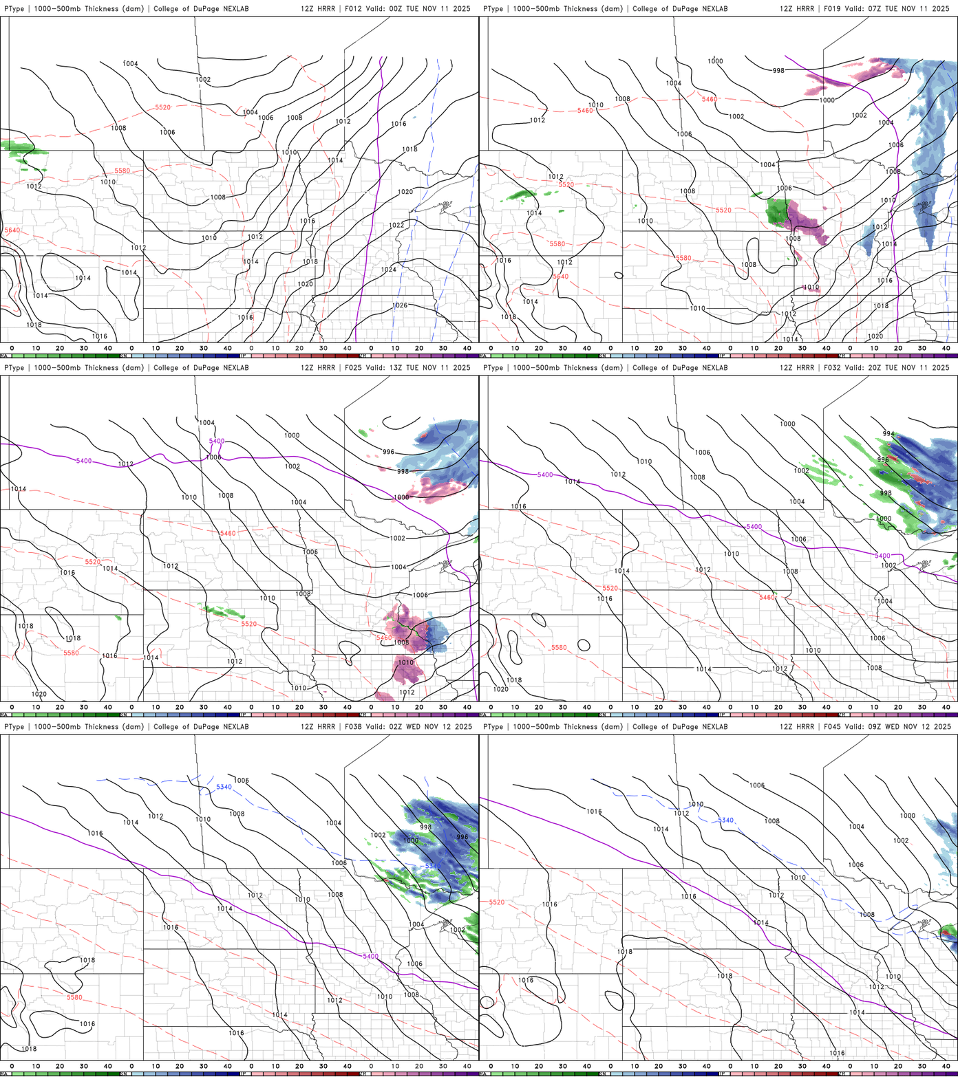
There could be a slushy coating of snowfall in some areas on the Iron Range and Arrowhead late Monday into early Tuesday morning. Most forecast models range from a dusting to as much as an inch potentially.

Highs Tuesday will be much warmer with decreasing clouds. We’ll top out near 50 degrees again in the Twin Cities, about 5 degrees above normal.

The remainder of the week will bring above-normal temperatures as the cold retreats and warmer air moves back in. Highs will be mainly in the 50s for southern Minnesota and 40s north.
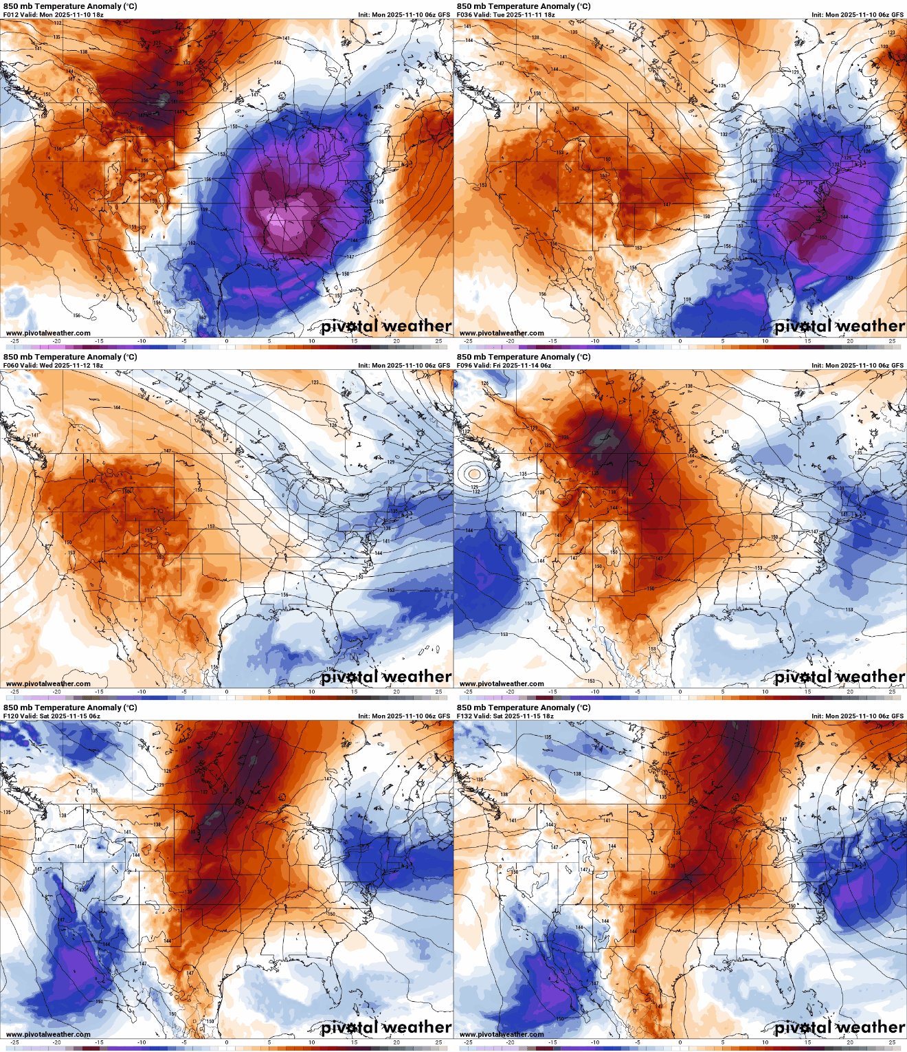
Parts of southwestern Minnesota will flirt with 60 degrees a couple times this week into the weekend.

We’re also watching a developing storm system for the weekend that could bring widespread, rain to parts of Minnesota and even snow on the cold side of the system in some spots.


