
Mild Thursday with 60s Friday
Colder air moves in this weekend

Go Deeper.
Create an account or log in to save stories.
Like this?
Thanks for liking this story! We have added it to a list of your favorite stories.


Thursday will be another mild day with partly cloudy skies but lighter winds. Highs Friday will be in the 60s across southern Minnesota before colder air moves in this weekend.
Mild couple of days before colder air sweeps in this weekend
We have another pleasant, mild day with sun through some occasional cloud cover. We’ll see some occasional scattered mid and upper-level clouds.
Winds will be lighter Thursday, generally under 10 mph. Afternoon highs will again be in the 50s across southern Minnesota with 40s north.

Friday will be even warmer with highs in the 60s across southern Minnesota. Parts of western Minnesota may even reach an incredible 70 degrees.
Turn Up Your Support
MPR News helps you turn down the noise and build shared understanding. Turn up your support for this public resource and keep trusted journalism accessible to all.
Those readings are 15 to 25 degrees above average for the date. We’ll see more sunshine and an increasing breeze from the south at 10 to 15 mph.
A cold front swings through early Saturday, pushing out the anomalous warmth and replacing it with colder air but temperatures near-normal for early next week.
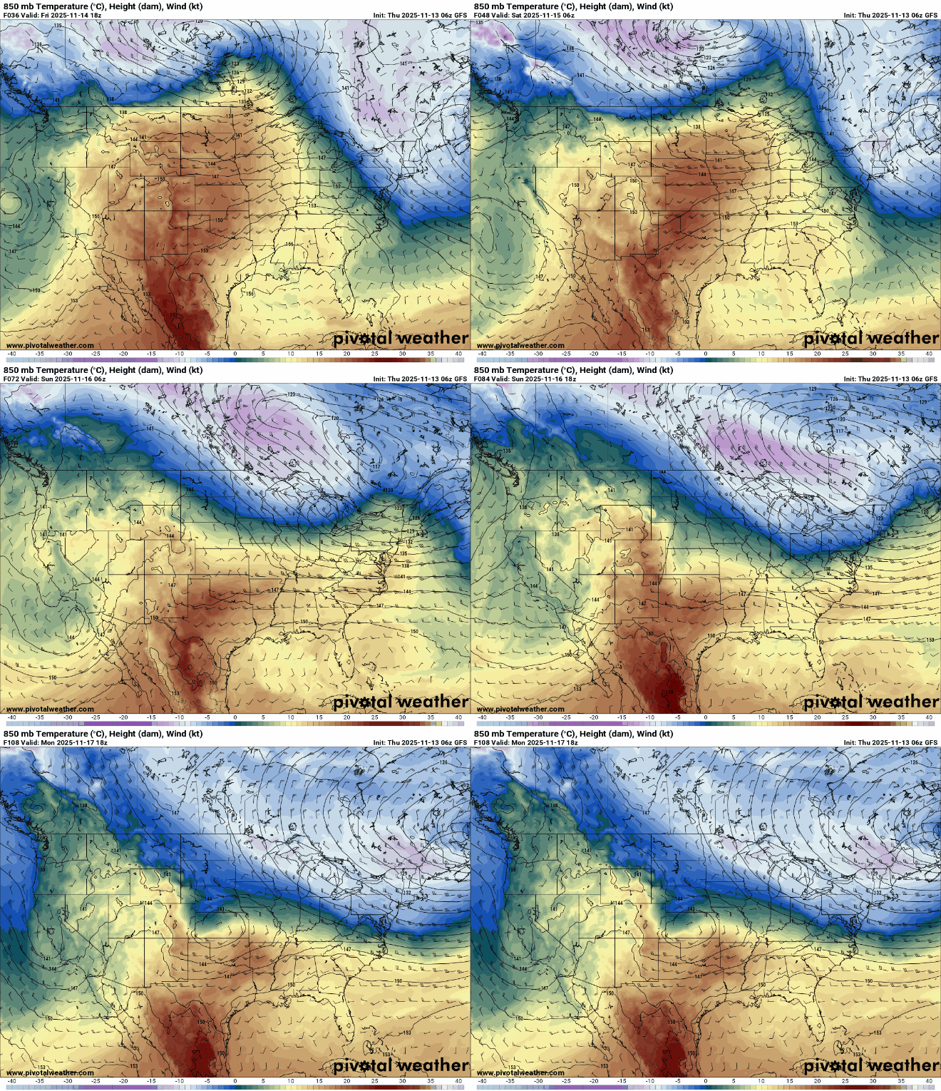
The front will touch off a few spotty light rain showers and bringing colder air behind it for Sunday and next week. But if you’re looking for any significant moisture, which we could very much use, you’re out of luck.
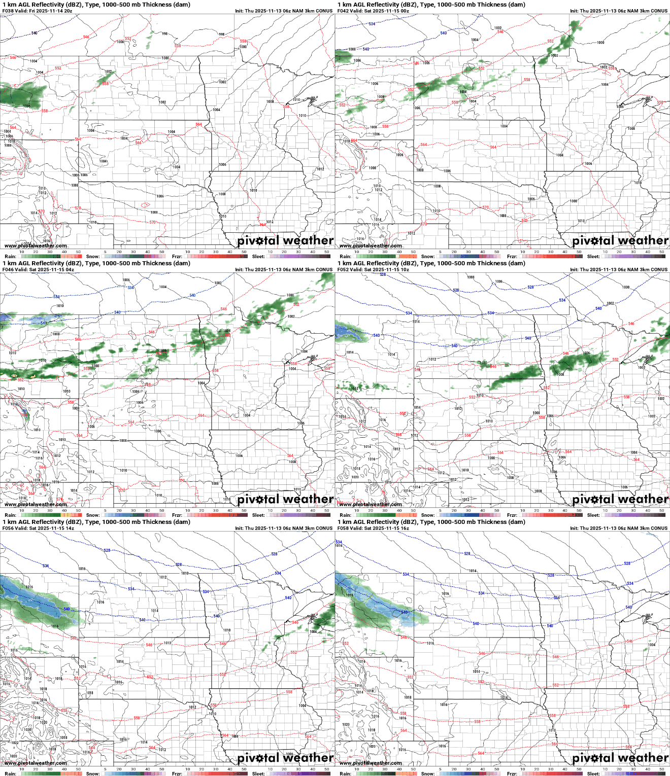
Highs Sunday will drop back to normal levels in the 40s and 30s with sunshine returning.

Some forecast models are hinting at a system developing rain showers late Monday into Tuesday but most forecast models are trending more south now. There remains a high degree of uncertainty in track, placement and timing at this point.

