
Bright skies, light winds and warmer temperatures
Wintry mix possible Monday night

Go Deeper.
Create an account or log in to save stories.
Like this?
Thanks for liking this story! We have added it to a list of your favorite stories.


Bright skies, light winds, and warmer temperatures wrap up the weekend, but a quick shift arrives Monday night when our next system could bring a wintry mix.
Pleasant Sunday ahead
High pressure overhead sets up a bright and quiet Sunday, bringing calmer winds and temperatures a bit above our norm.
The metro area will warm into the upper 40s, with 30s blanketing the Northland and some 50-degree readings possible across extreme southwestern Minnesota.
Turn Up Your Support
MPR News helps you turn down the noise and build shared understanding. Turn up your support for this public resource and keep trusted journalism accessible to all.
Quiet conditions hold through Monday morning, but our next system begins to push in from the Rockies by later in the day.
Most of us see seasonal temperatures Monday, but southwestern Minnesota may sneak back into the 50s again.

Our air mass remains warm enough for some light rain Monday night, though cooler conditions after sunset will allow a wintry mix to set in.
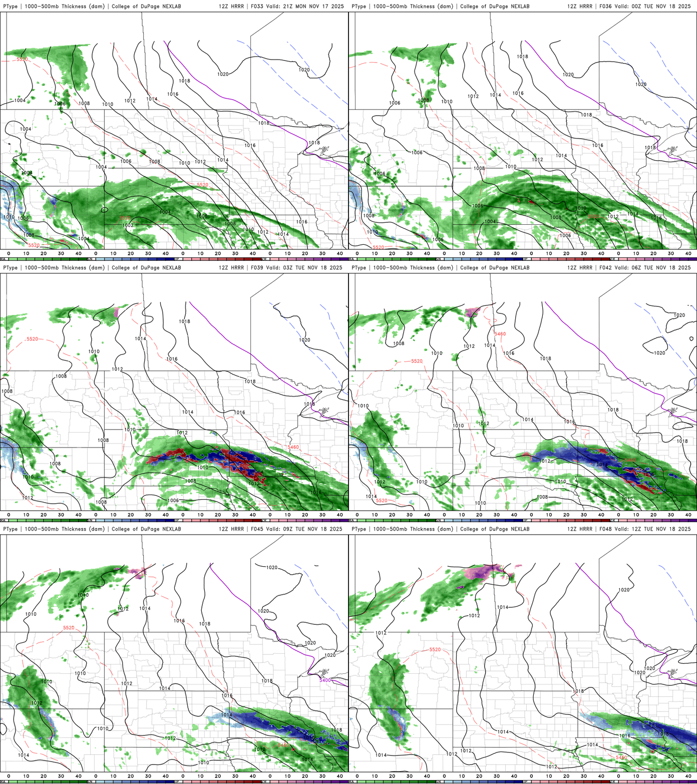
Central Minnesota, including the metro, along with western Wisconsin and southern Minnesota, are expected to see impacts from this system. Precipitation amounts are expected to range from a few tenths of an inch along Interstate 94 to around a half inch in southeastern Minnesota. There is a possibility of around an inch of slushy accumulation by Tuesday morning.

Things quiet down on Wednesday with dry, seasonal weather and temperatures in the 30s and 40s.
There was a promising system expected for the end of next week that could have brought much-needed moisture to our drought-stricken state. However, it now appears that the system is tracking further south toward the mid-Mississippi Valley.

