
Mild, bright weekend ahead of much colder air next week
Potential for rain, snow early to midweek

Go Deeper.
Create an account or log in to save stories.
Like this?
Thanks for liking this story! We have added it to a list of your favorite stories.


High pressure brings a return to sunshine Friday. The weekend will be mild before colder air moves in next week. A potential system could bring rain and snow Monday into Tuesday.
Rare November sunshine and a mild weekend
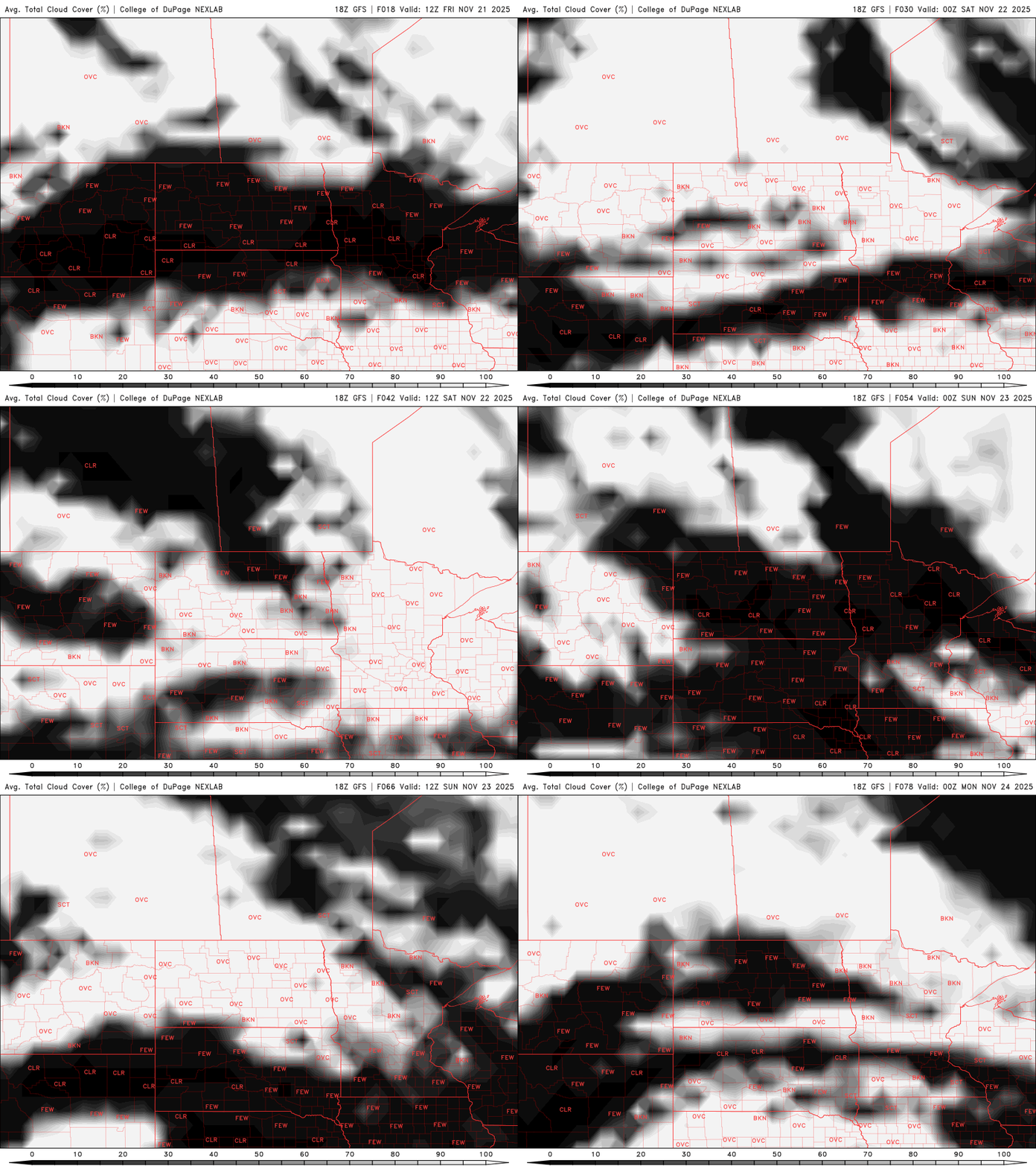
It’s not common to have three consecutive days of sunshine in late November but that’s what we’re in for. There will be some passing mid and high level clouds Saturday, but each of the next three days will see more sun than cloud cover.
Highs Friday will range from the upper 40s south to the mid-30s north, a touch cooler than the previous couple of days.

The weekend will be milder with highs returning into the 50s for southern Minnesota, about 15 degrees above average.
Turn Up Your Support
MPR News helps you turn down the noise and build shared understanding. Turn up your support for this public resource and keep trusted journalism accessible to all.

The mild weather looks to continue into Monday ahead of a potential system that could bring rain showers late Monday, transitioning to a wintry mix late Tuesday.
This system looks to be mostly liquid for southern Minnesota and unfortunately no one looks to get a lot of any significant precipitation totals.

Considerably colder air moves in for late next week dropping high temperatures below freezing statewide and leading to some cold overnights. It will be a colder than average Thanksgiving:

While the weather looks cooperative in the days leading up to Thanksgiving, next weekend may be a different story.
It’s too early to talk details of any kind, but most forecast models are producing a storm system that could bring a wintry mix of precipitation.
This is a forecast loop from Thanksgiving through the following Monday (Dec. 1):
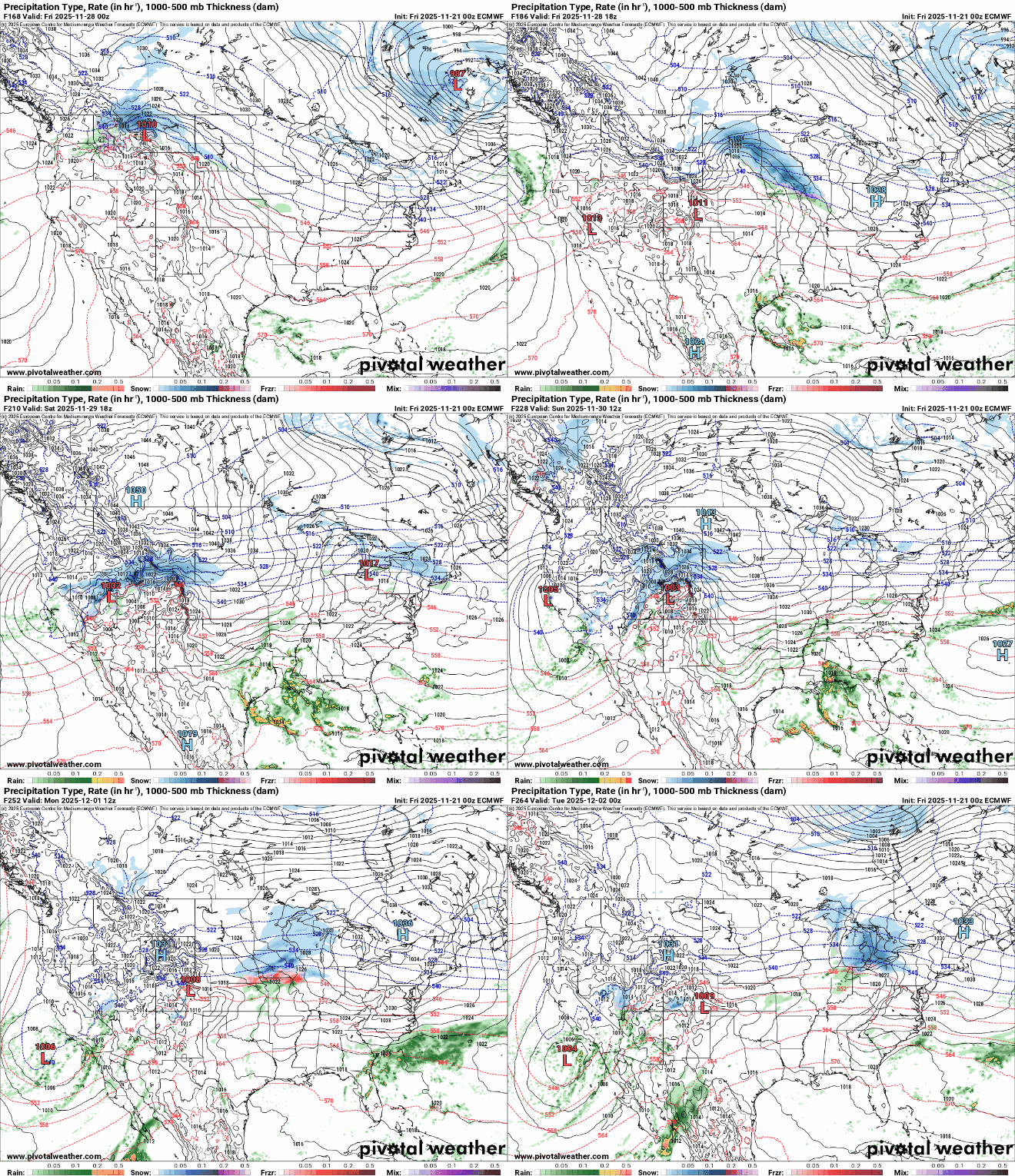
One or more systems could add up and whiten up the landscape by the start of December.
Again, it’s too early to say how much, where or when, but almost all models agree that Minnesota is likely to look more wintry in time for the start of December.
The map below shows one model’s net snow depth forecast by Dec. 1.


