
Fall's farewell: Mild weather ends as snow and cold arrive midweek
Record breaking high temps possible Sunday

Go Deeper.
Create an account or log in to save stories.
Like this?
Thanks for liking this story! We have added it to a list of your favorite stories.


It’s fall’s last hurrah with sunshine and unseasonable warmth to wrap up our weekend. But a sharp change is coming, as snow and cold settle in just in time for the Thanksgiving holiday.
Record highs possible
Our anomalous warmth continues Sunday, with high temperatures approaching records. The Twin Cities record is 55, set in 1905, and St. Cloud could even break its record of 53 from 2021.

Busy holiday week weather
Our holiday week will start out mild and end on a very chilly note. An active weather pattern will bring multiple systems to the state, with accumulating snow and blustery winds.
Monday’s system will bring light, scattered rain showers to mainly southern Minnesota. Temperatures will remain above seasonal normals in the 40s and 50s before colder air moves in behind Tuesday’s system.
Turn Up Your Support
MPR News helps you turn down the noise and build shared understanding. Turn up your support for this public resource and keep trusted journalism accessible to all.
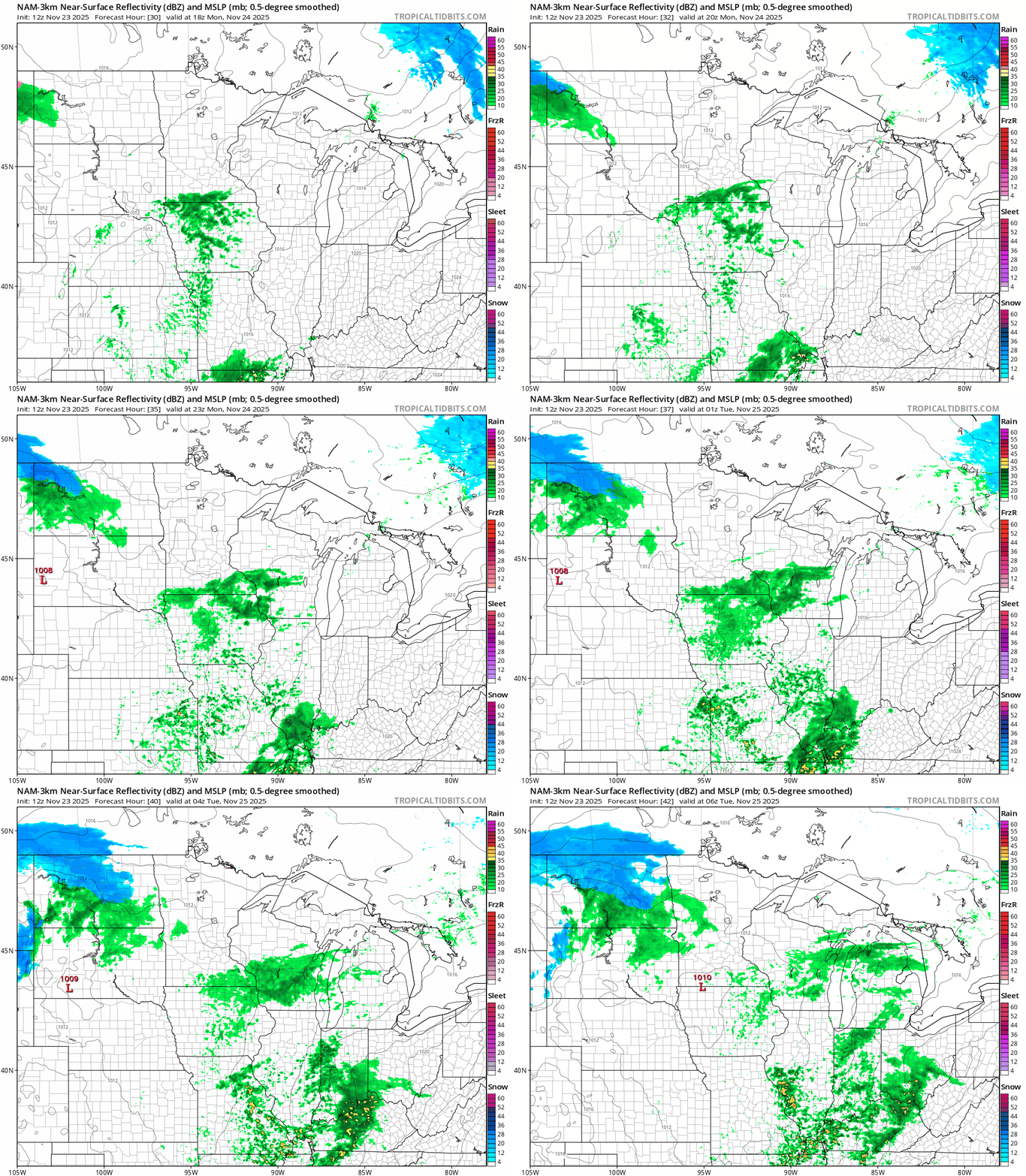
Tuesday, a stronger system will bring much colder temperatures and transition rain showers to a brief wintry mix, followed by accumulating snow north of Interstate 94.
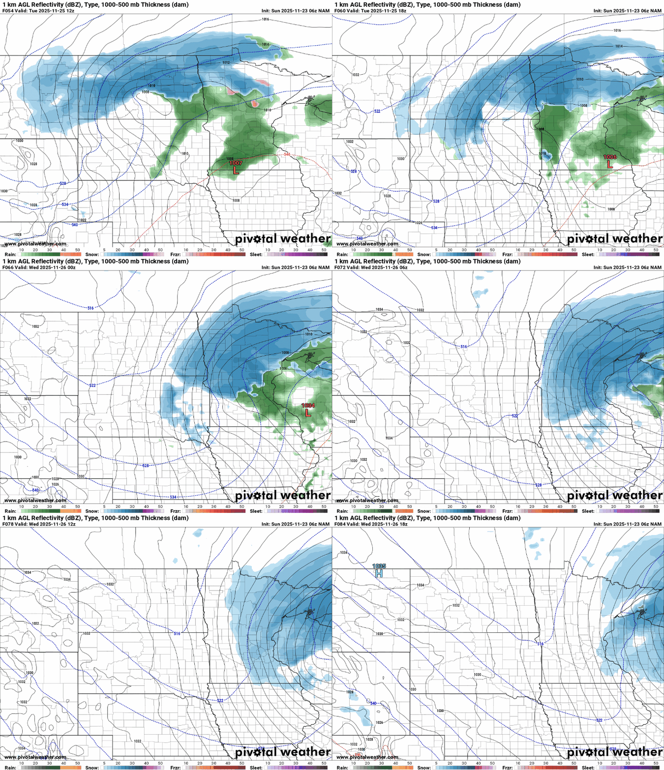
Northern Minnesota could see 2 to 3 inches of snow, with pockets of more than 5 inches possible.

Wraparound flurries and light snow showers are possible Wednesday, but the main story will be the frigid temperatures. By Thanksgiving, highs will remain below freezing, with blustery winds driving wind chills into the single digits.
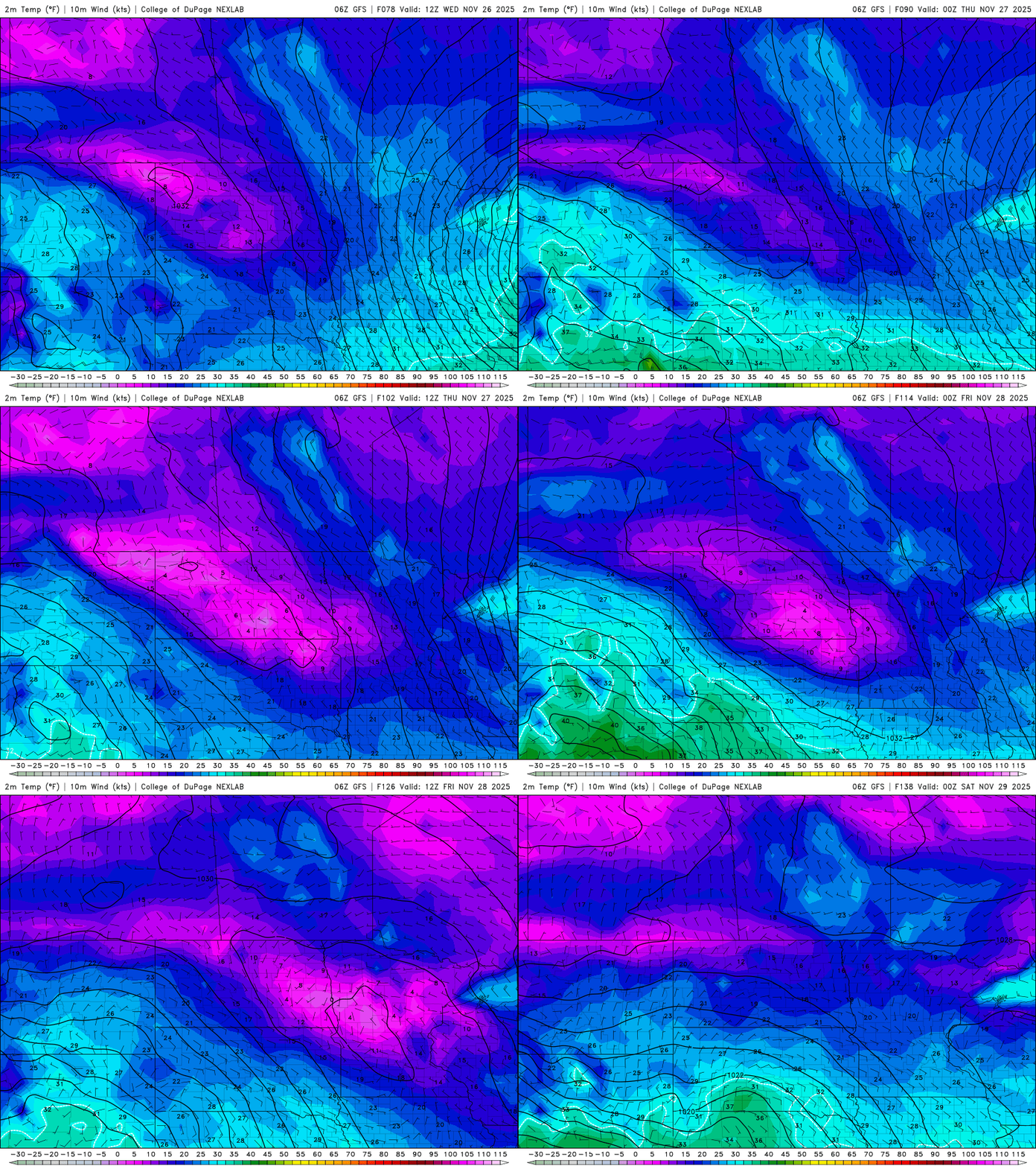
These cooler temperatures will continue into next weekend, with another snowmaker possible for the Upper Midwest.

