
Next winter storm moves into southern Minnesota tonight
Colder air moves in behind the system for Sunday, Monday

Go Deeper.
Create an account or log in to save stories.
Like this?
Thanks for liking this story! We have added it to a list of your favorite stories.


Friday will be chilly with a mix of clouds and sun. Snow develops in southwest Minnesota late today and spreads across southern Minnesota tonight into Saturday followed by cold air.
Second winter storm in a week moves in, then colder
Friday will be quiet and cool with highs mostly in the 20s with a mix of clouds and sunshine and a few scattered flurries. Winds will also be light. Overnight lows will fall mostly into the teens.

A winter storm warning goes into effect Friday evening for southern Minnesota into Saturday with winter weather advisories tonight into Saturday for portions of central Minnesota up through the Twin Cities.
Snow showers develop late Friday afternoon in southwest Minnesota and expand east across southern Minnesota overnight Friday night into Saturday, tapering off Saturday night. Central Minnesota will see lighter snow showers.
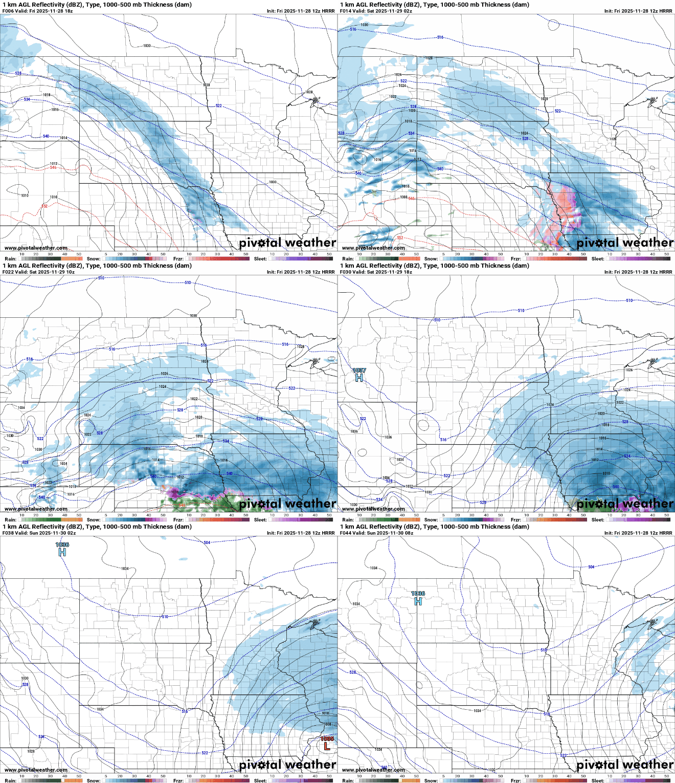
Snow totals will be heaviest in southern Minnesota where up to 5 to 10 inches of snow could fall in some places. Snowfall will be under 1 inch in northern Minnesota. In the Twin Cities there will be a bit of a north-south gradient with up to 2 to 4 inches in the northern suburbs and as much as 5 to 6 in southern suburbs.

Winds will be lighter with this system than the previous one luckily. Colder air moves in behind the system for Sunday and Monday. Highs will drop into the teens but overnight lows Sunday night will be the coldest yet with subzero readings for much of central Minnesota into early Monday morning.

Temps modify some mid to late week into the 20s and 10s, still a bit below normal however.
Turn Up Your Support
MPR News helps you turn down the noise and build shared understanding. Turn up your support for this public resource and keep trusted journalism accessible to all.

