
Prolonged light snow Saturday; bitter cold follows
Heaviest accumulations in southern Minnesota

Go Deeper.
Create an account or log in to save stories.
Like this?
Thanks for liking this story! We have added it to a list of your favorite stories.


A long-duration winter storm is settling in today, bringing hours of steady light snow across the southern half of the state. As the system moves out, expect increasing winds and a drop in temperatures.
Winter storm for Saturday
Our second storm in a week will whiten the landscape as it targets the southern half of the state. This long-duration system will bring heavy snowfall, blustery winds, and some of the coldest air of the season.

Winter storm warnings and winter weather advisories remain in effect through midnight Saturday night. Cities including Ortonville, Benson, Willmar, Hutchinson, and the Twin Cities will experience advisory-level conditions, with snowfall totals ranging from 3 to 6 inches.
Farther south, near and along Interstate 90, higher totals of 6 to 10 inches are expected under a winter storm warning. Once again, this system will feature a sharp north-to-south cutoff in snowfall amounts.

Winds will increase from the north-northeast at 10 to 20 mph, with gusts in southwestern Minnesota reaching up to 30 mph.
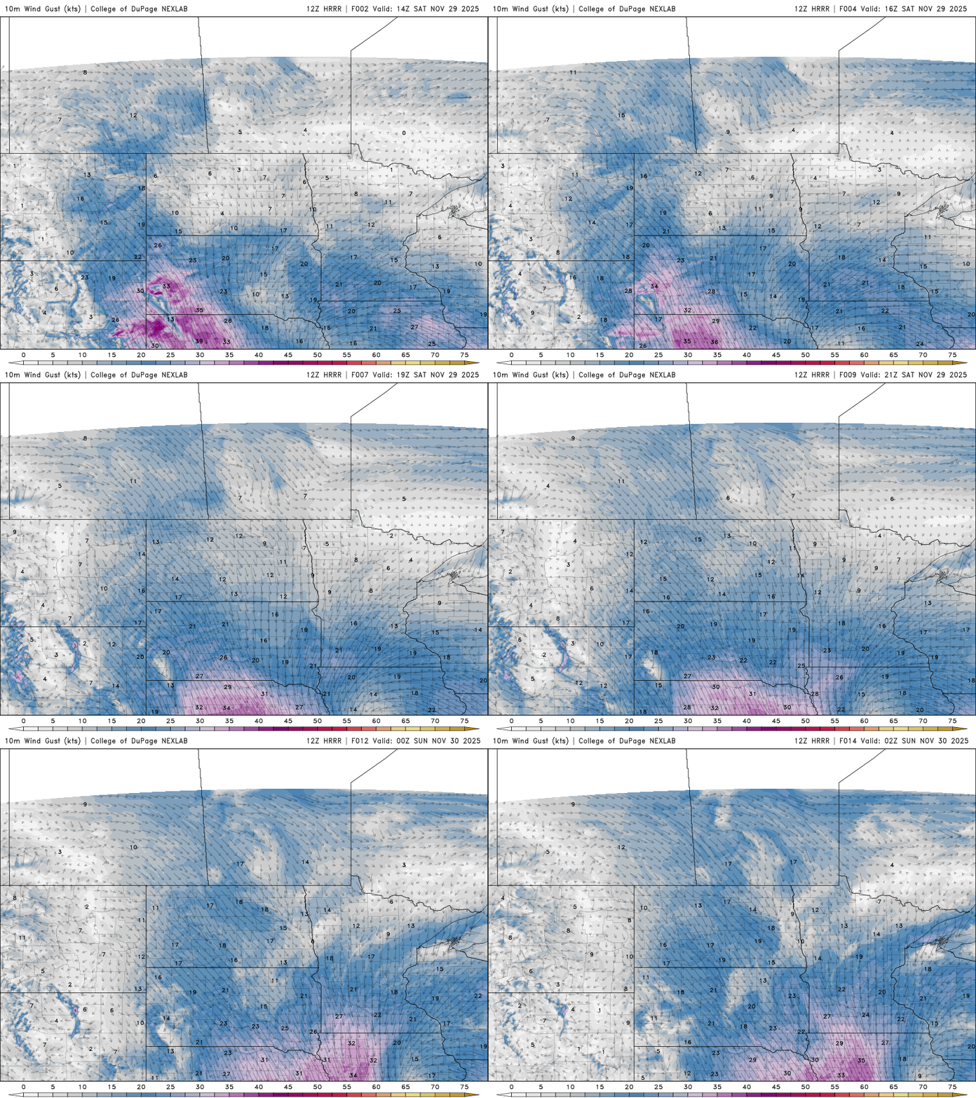
Temperatures will only warm into the low to mid-20s across central and northern Minnesota, while areas currently experiencing snow in southern Minnesota will see readings hold fairly steady through the day.

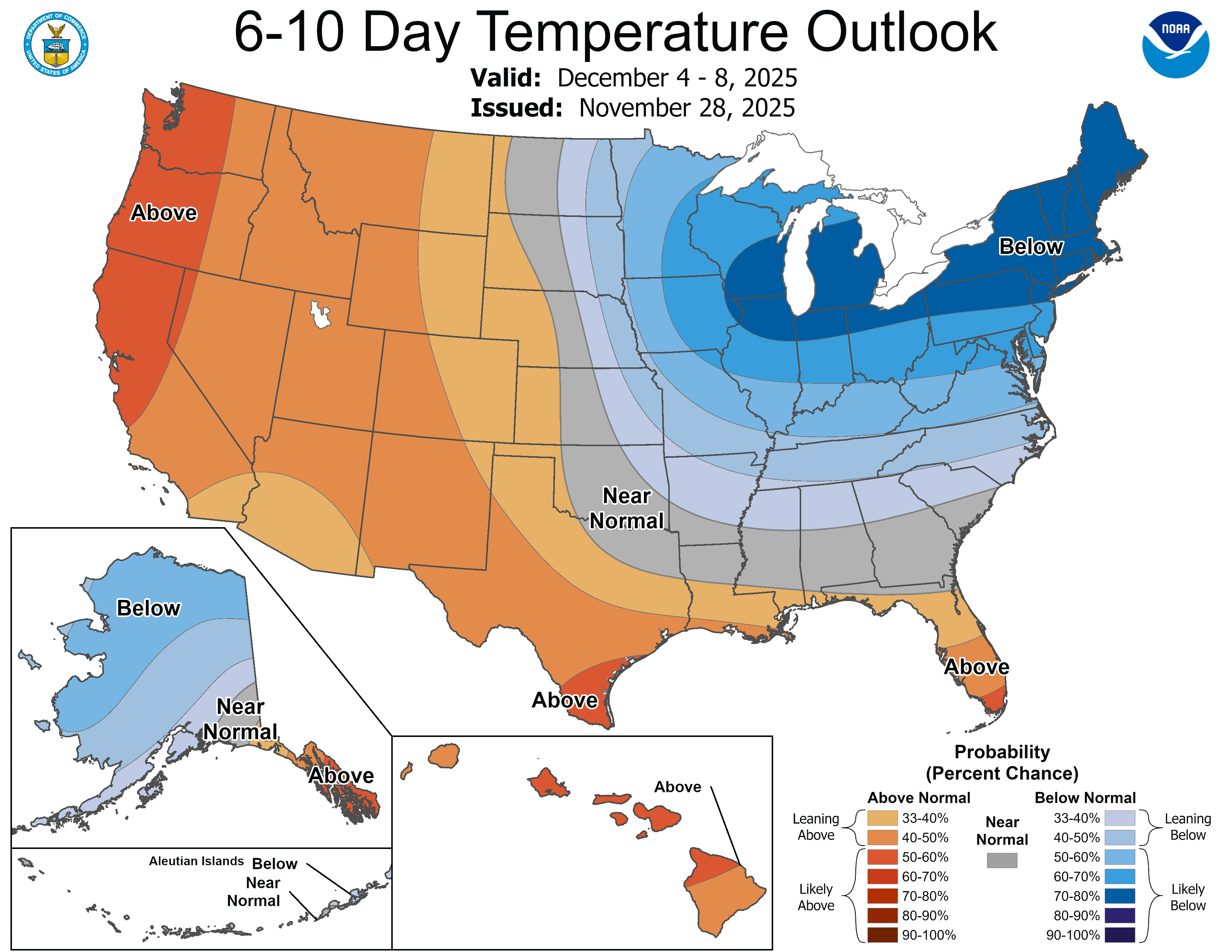
Bitterly cold temperatures will follow Sunday into Monday, with highs only in the teens and morning lows hovering just above or below zero — bringing the coldest air of the season. The below-average air mass is expected to linger through the first week of December.
Turn Up Your Support
MPR News helps you turn down the noise and build shared understanding. Turn up your support for this public resource and keep trusted journalism accessible to all.

