Snow storm wrapping up Saturday night; Arctic air on the way
Bitter temperatures settle in to finish the weekend

Go Deeper.
Create an account or log in to save stories.
Like this?
Thanks for liking this story! We have added it to a list of your favorite stories.


As the snowstorm wraps up Saturday night, a surge of Arctic air will arrive, bringing some of the coldest temperatures of the season. Highs will struggle to reach the teens and 20s next week, and several clipper systems will keep light snow in the forecast.
Snow wrapping up late Saturday night
Our current snowstorm will take its final bow late Saturday night. Snow will taper off from west to east overnight, with southeastern Minnesota remaining under a winter storm warning until 6 a.m. Sunday and the rest of the state’s winter warnings expiring at midnight.
Snow totals show southern Minnesota has already picked up 6 to 7 inches, with additional accumulation on the way.
Turn Up Your Support
MPR News helps you turn down the noise and build shared understanding. Turn up your support for this public resource and keep trusted journalism accessible to all.

Temperatures Saturday night will drop into the single digits and low teens across most of the state, with pockets of upper teens to around 20 in southeastern Minnesota.

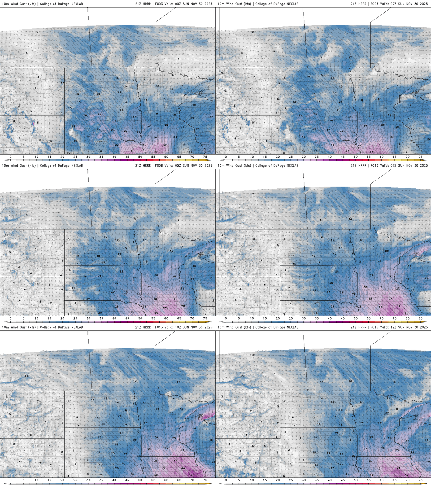
Blustery north winds will create blowing snow, so caution is advised, especially in rural areas. Winds are expected to range from 10 to 20 mph, with gusts up to 30 mph.
Cold, clipper systems and small snow totals
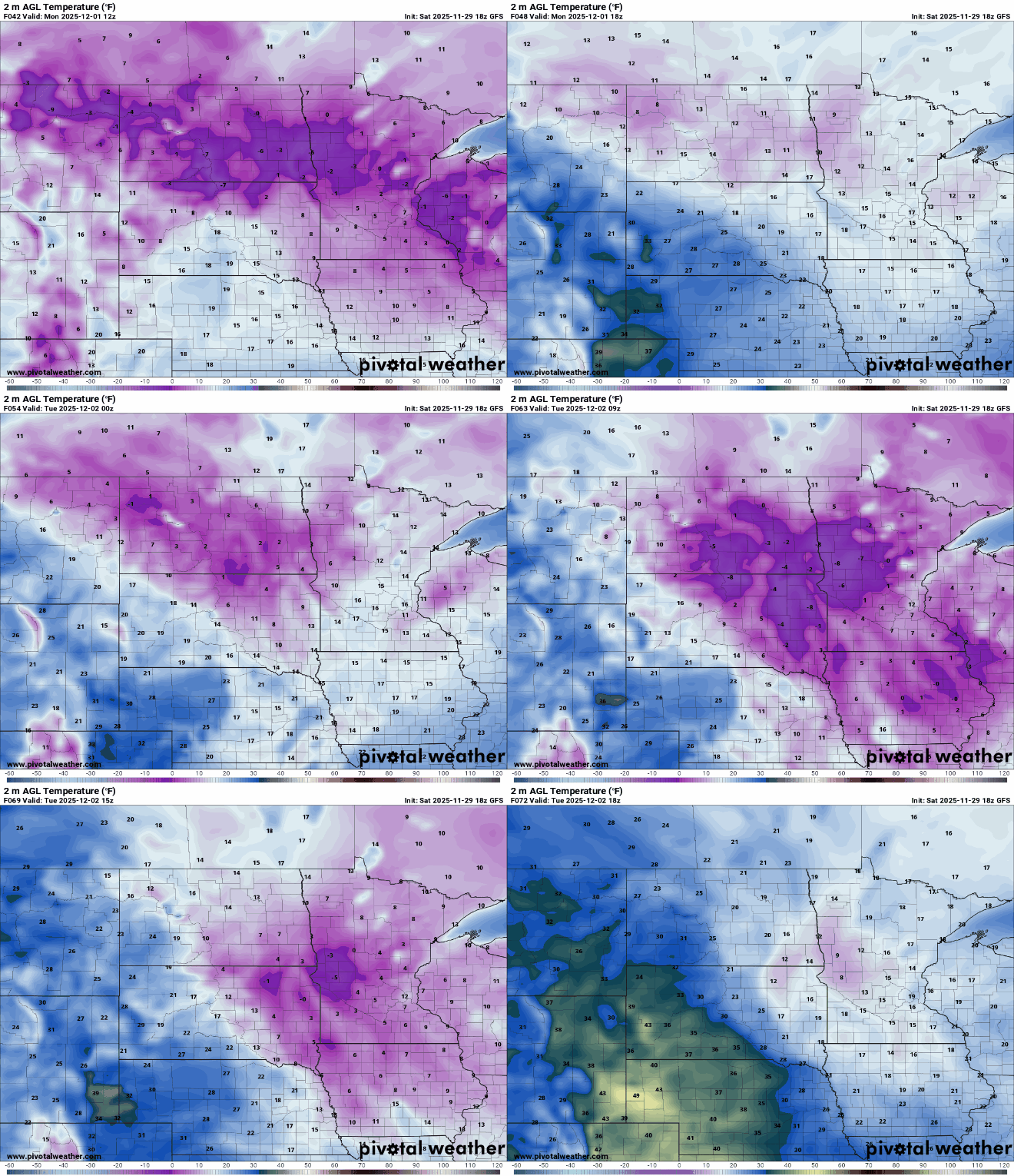
Next week is shaping up to be our coldest so far, with highs in the teens to low 20s and morning lows dipping on either side of zero. This could bring the Twin Cities its first sub-zero reading of the season, which typically occurs around Dec 10.
A series of clipper systems will move through the region next week, bringing multiple chances for light precipitation that could add up to another couple of inches of snow by week’s end.
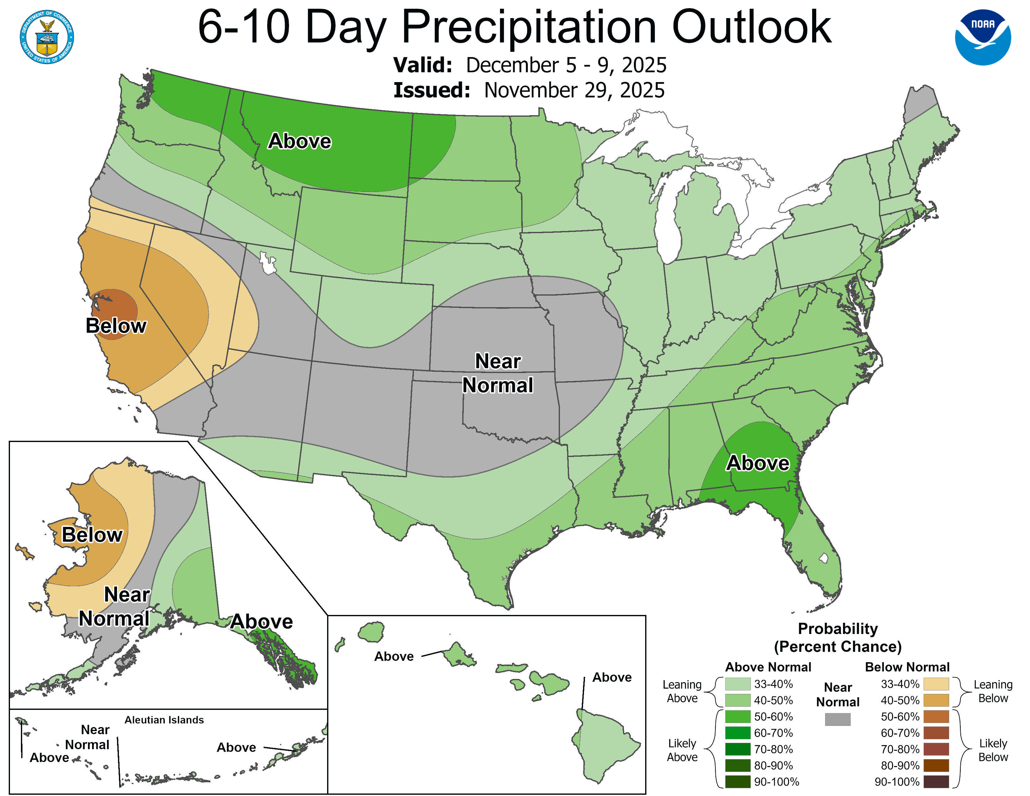
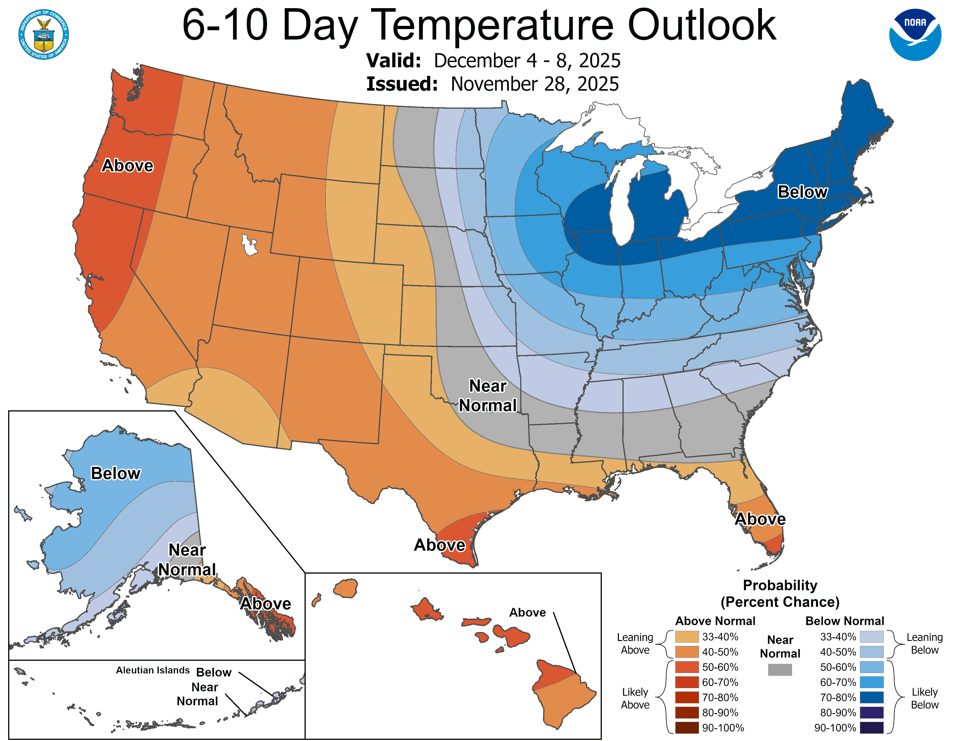
The Climate Prediction Center’s 6–10 day outlook is highlighting a pattern of colder-than-normal temperatures and higher chances for precipitation.