
Storm moves out, cold moves in
Subzero readings possible later this week
Go Deeper.
Create an account or log in to save stories.
Like this?
Thanks for liking this story! We have added it to a list of your favorite stories.


Light snow and decreasing winds will wrap up our holiday weekend with a few peeks of sunshine possible. Cold air will continue to filter in through the week, bringing the potential for subzero readings by week’s end.
Snowfall totals so far
Our post-Thanksgiving winter storm brought accumulating snowfall to the southern half of the state. Preliminary measurements show the metro area picked up 3 to 6 inches, while southern Minnesota saw totals ranging from 6 to 10 inches. These amounts may shift as more reports come in.

Winter weather advisories continue for southeastern portions of the state, including Rochester, Winona and Austin, until noon. Light snow and blustery northwest winds will create areas of blowing snow and reduced visibility.

Temperatures will remain on the chilly side, with highs only in the teens and low 20s. Northwesterly winds will keep wind chills in the single digits for much of the day before diminishing later on.

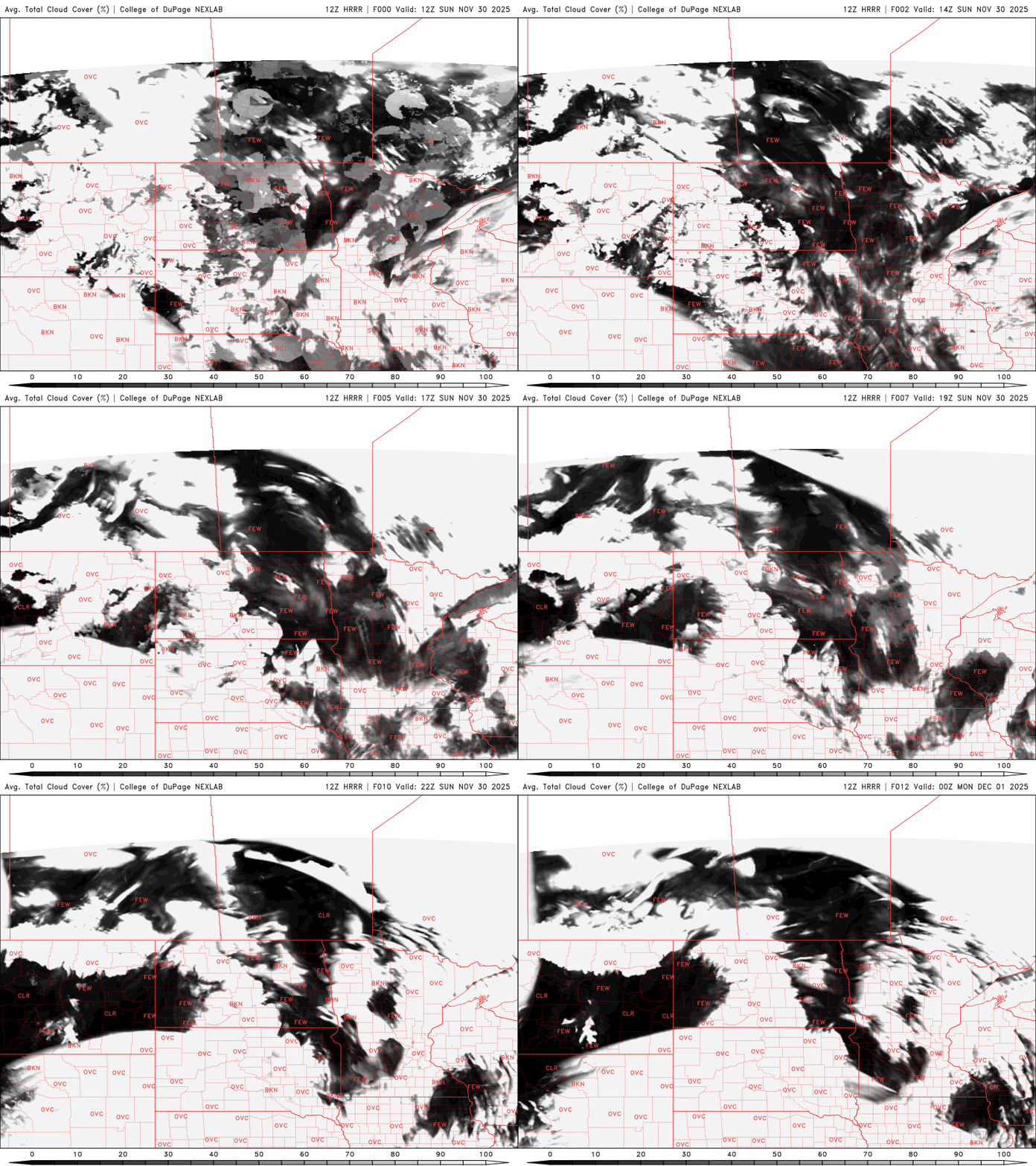
Some peaks of sunshine are possible throughout the day as high pressure builds in from the east.
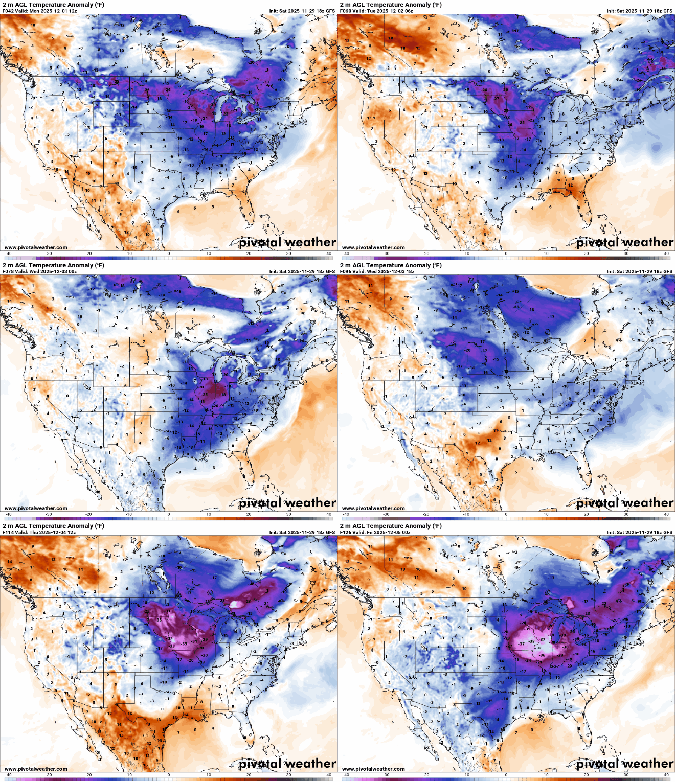
Cold air will persist through the week, with highs in the teens and 20s. No major storms are expected, though a clipper system may bring light snow showers to northern Minnesota on Wednesday.
Temperatures will drop again Wednesday night into Thursday. Thursday’s highs will be in the teens, with morning lows in the single digits and teens below zero, marking the Twin Cities’ first subzero reading of the season. The average date for the first subzero low in the Twin Cities is Dec. 10.
Turn Up Your Support
MPR News helps you turn down the noise and build shared understanding. Turn up your support for this public resource and keep trusted journalism accessible to all.

