
Below-normal temperatures this week with several light snow chances
Statewide temperatures will drop below zero early Thursday

Go Deeper.
Create an account or log in to save stories.
Like this?
Thanks for liking this story! We have added it to a list of your favorite stories.


Monday will be cold with more clouds than sun. Light snow develops late Tuesday north. Our first widespread subzero readings arrive early Thursday morning.
Colder-than-normal temperatures with light snow chances this week
We’ll see more clouds than sun and a chilly day Monday. Far southern and northern Minnesota will see some scattered flurries. Temperatures are starting out mostly in the single digits and will warm into just the teens and low 20s Monday afternoon.

It won’t be quite as cold Monday night but lows will fall into the single digits and low teens. Portions of west-central Minnesota will again drop just below zero.

The first of a few clipper systems will develop light snow showers for northern Minnesota late Tuesday into Tuesday night. Light snow will be possible across much of the state overnight Tuesday night, wrapping up very early Wednesday.
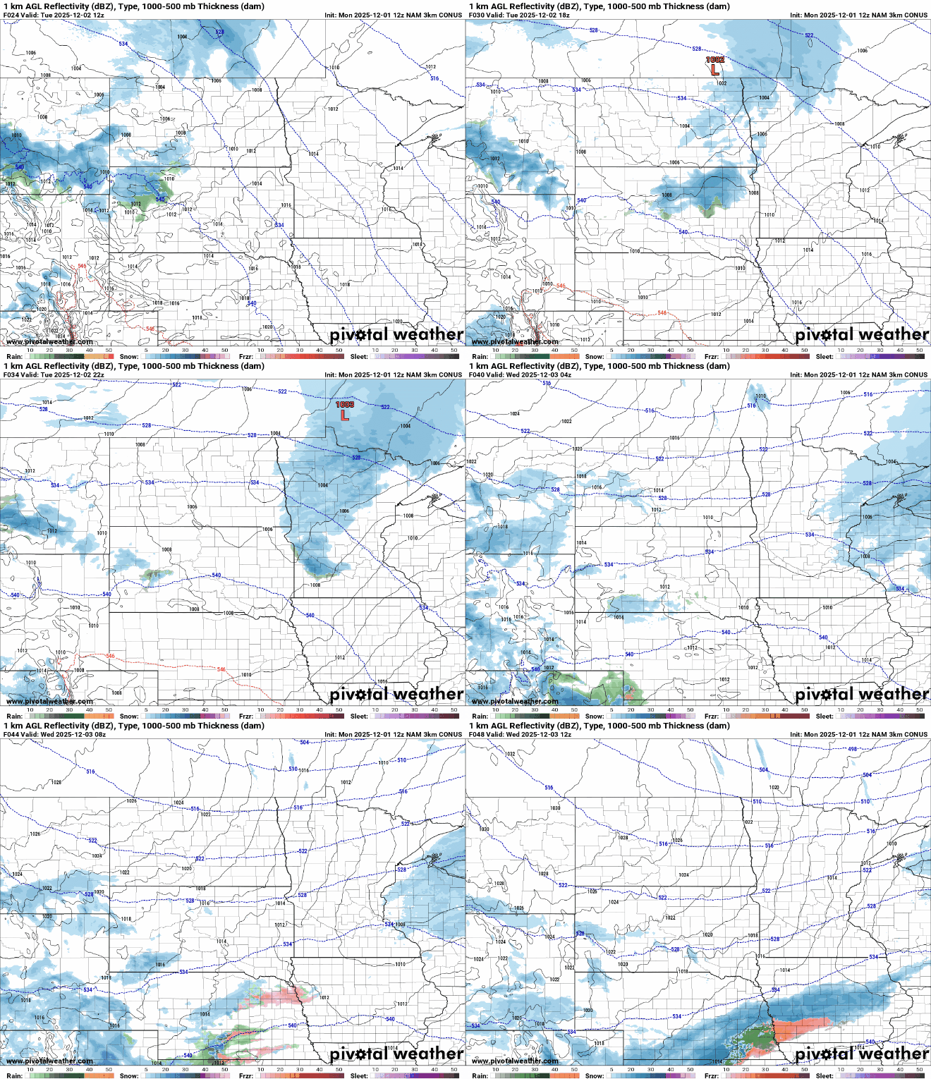
Accumulations will generally be light, less than 1 inch. Some spots in northeastern Minnesota may see isolated pockets of 1 to 2 inches.

Behind that clipper, clouds will break up some and a potent chunk of arctic air slides in. This will lead to a cold Wednesday night into early Thursday morning. Temperatures will be subzero across the state for the first time this season for most.

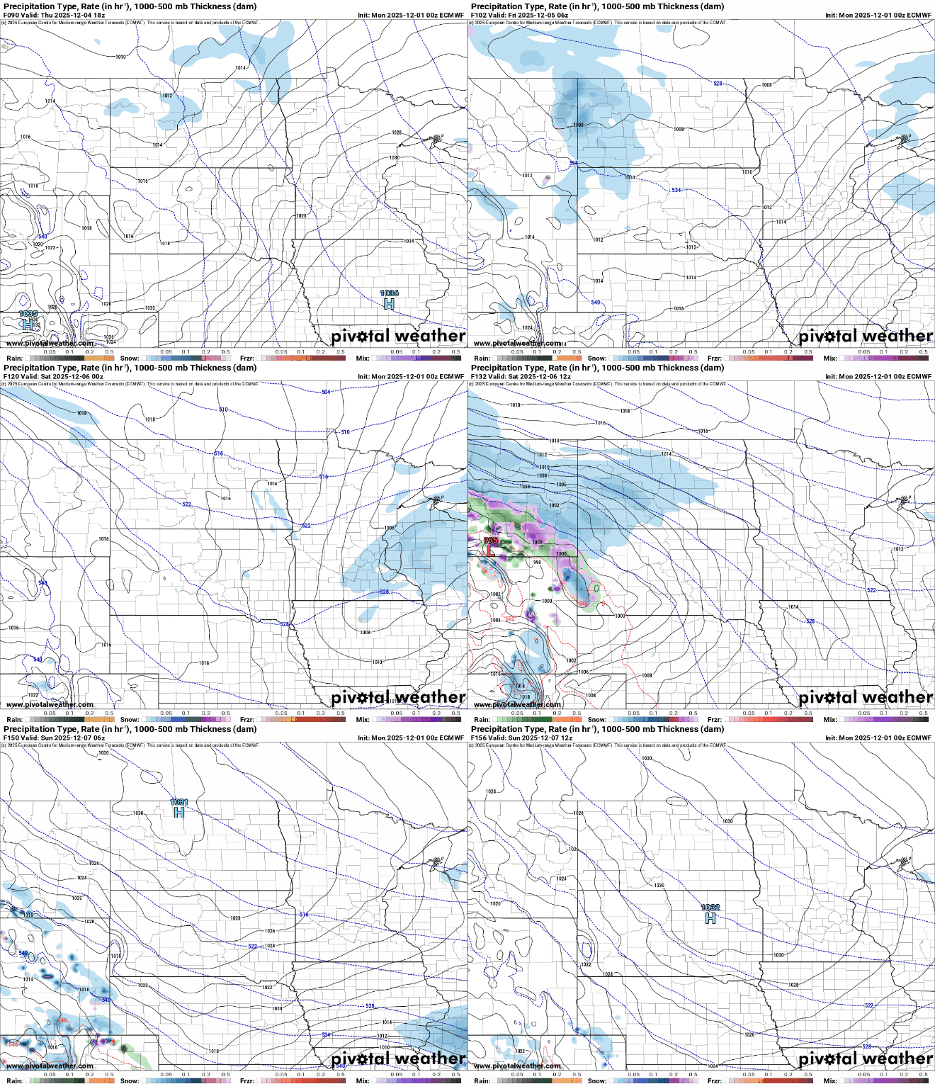
Another couple of clipper systems move in late Thursday, Friday and Saturday adding up to a fresh coating or more of snow. The Saturday system may deliver a bit more snow, so we’ll be keeping a close eye on that through the week.
Turn Up Your Support
MPR News helps you turn down the noise and build shared understanding. Turn up your support for this public resource and keep trusted journalism accessible to all.

