
Start of winter brings multiple light snow chances and bitter, cold air
Coldest temperatures of the season coming Thursday

Go Deeper.
Create an account or log in to save stories.
Like this?
Thanks for liking this story! We have added it to a list of your favorite stories.


Happy meteorological winter! The first week of December features an active pattern with multiple light snow chances and bitter cold settling in by Thursday.
Chilly pattern ahead with light snow chances
The first full week of December will bring several clipper systems, leading to light snow chances across the state and very chilly temperatures.
Cloud cover will persist Monday night with lows falling into the low teens in the Twin Cities metro area and single digits above zero across much of Minnesota, while the Detroit Lakes and Fergus Falls areas dip below zero.

Tuesday brings a slight warmup with highs returning to the lower to mid-20s and the Minnesota River Valley potentially reaching the upper 20s.
Turn Up Your Support
MPR News helps you turn down the noise and build shared understanding. Turn up your support for this public resource and keep trusted journalism accessible to all.

Several clipper systems will bring light snow chances this week with the next round expected Tuesday night into Wednesday. This system will track through northern Minnesota, producing light accumulations across the Northland.
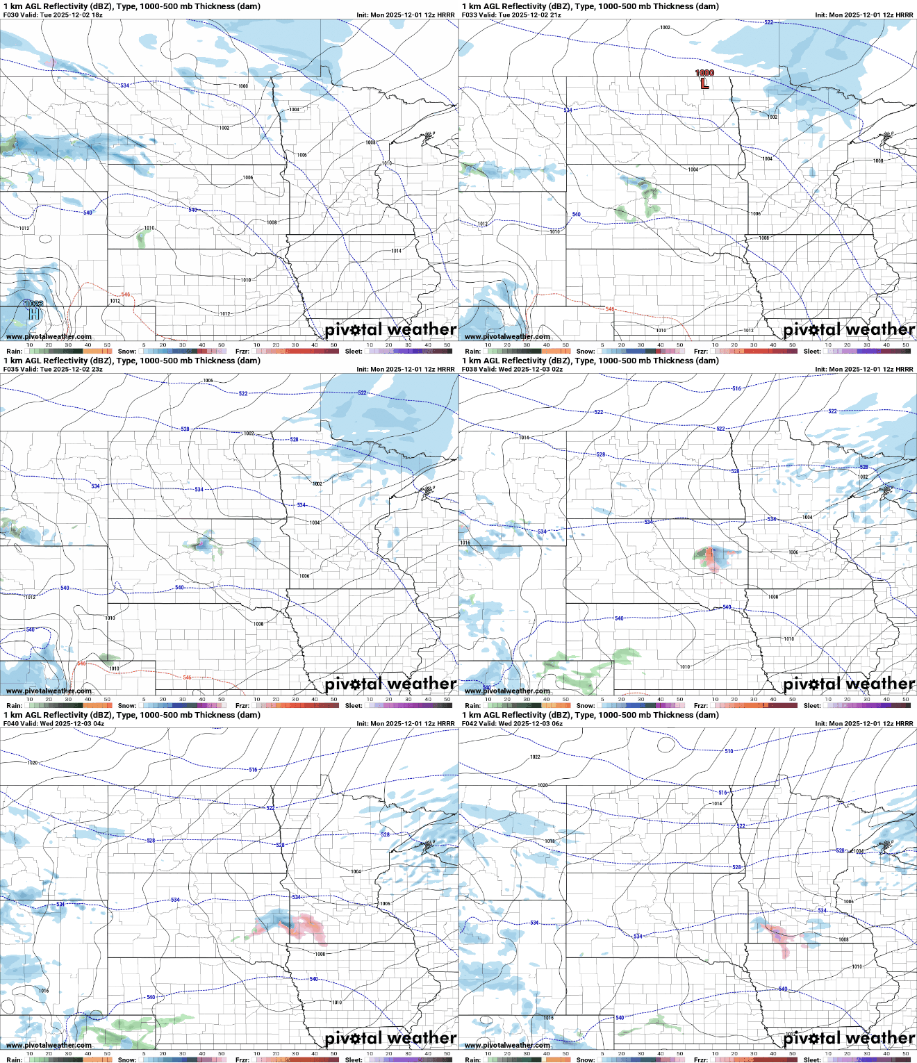
A few spots may pick up an inch or two, while surrounding areas will likely see only a trace.

The coldest temperatures of the season will arrive Wednesday night into Thursday morning. Overnight lows will fall into the single digits and teens below zero with wind chill values dropping into the 20s below zero.
We’ll see more chances for snow toward the end of the week and over the weekend. Accumulations will generally remain light. The cold air will stick around, keeping mild temperatures well out of reach.

