A little warmer Tuesday with light snow Tuesday night
Subzero temps statewide overnight Wednesday into Thursday
Go Deeper.
Create an account or log in to save stories.
Like this?
Thanks for liking this story! We have added it to a list of your favorite stories.


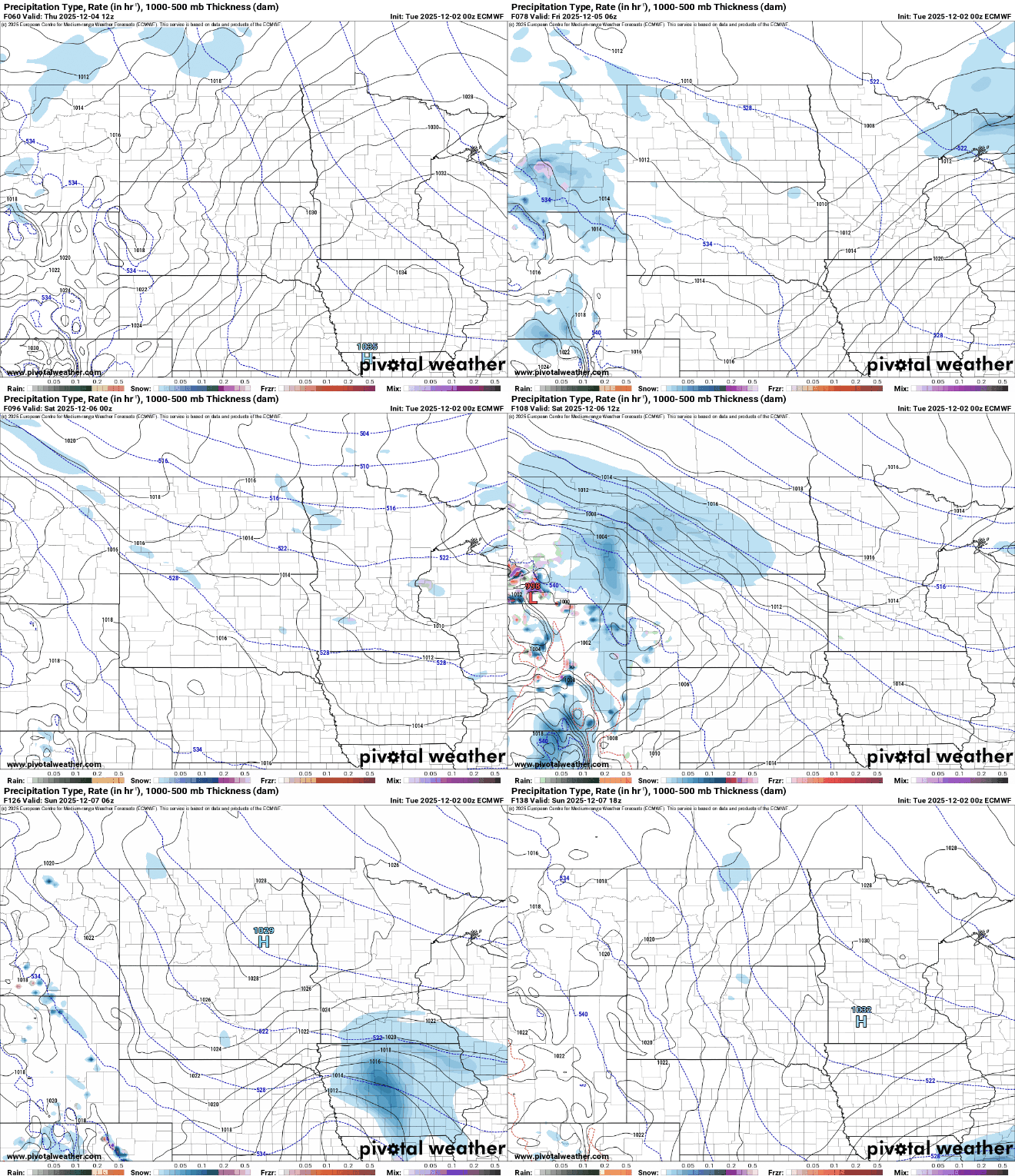
Temperatures will warm a bit on Tuesday ahead of a clipper system that will develop light snow showers late Tuesday and into Tuesday night. Behind that, more arctic air moves in.
Light snow Tuesday night, then colder again
It’s another cold start with temperatures mostly in the teens and single digits. Some areas were even subzero early Tuesday morning in western Minnesota.
Highs for most of the state will be in the 20s by Tuesday afternoon with temperatures near 30 degrees in western Minnesota ahead of a clipper system.

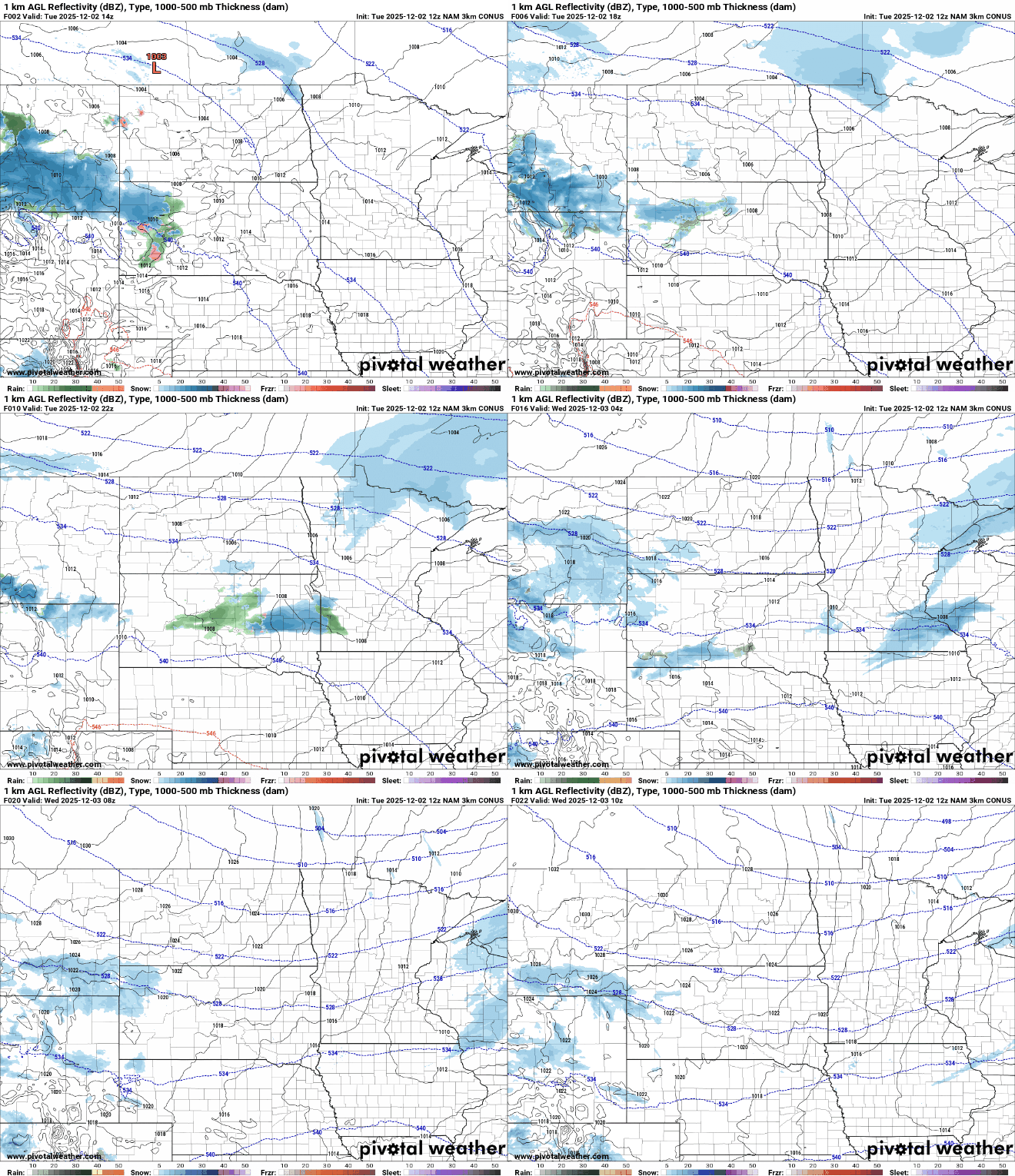
Light snow showers will develop in northwestern Minnesota Tuesday afternoon and expand for much of the state overnight. Most snow showers will be pretty light and wrap very early Wednesday.
Turn Up Your Support
MPR News helps you turn down the noise and build shared understanding. Turn up your support for this public resource and keep trusted journalism accessible to all.
Snowfall accumulations will be modest with just a dusting to a coating south and perhaps as much as 1 inch in some places in northeastern Minnesota.

Behind the clipper system, a potent chunk of arctic air slides into Minnesota Wednesday into Thursday. That air mass is sitting around Hudson Bay early Tuesday where temperatures there were in the 20s below zero!
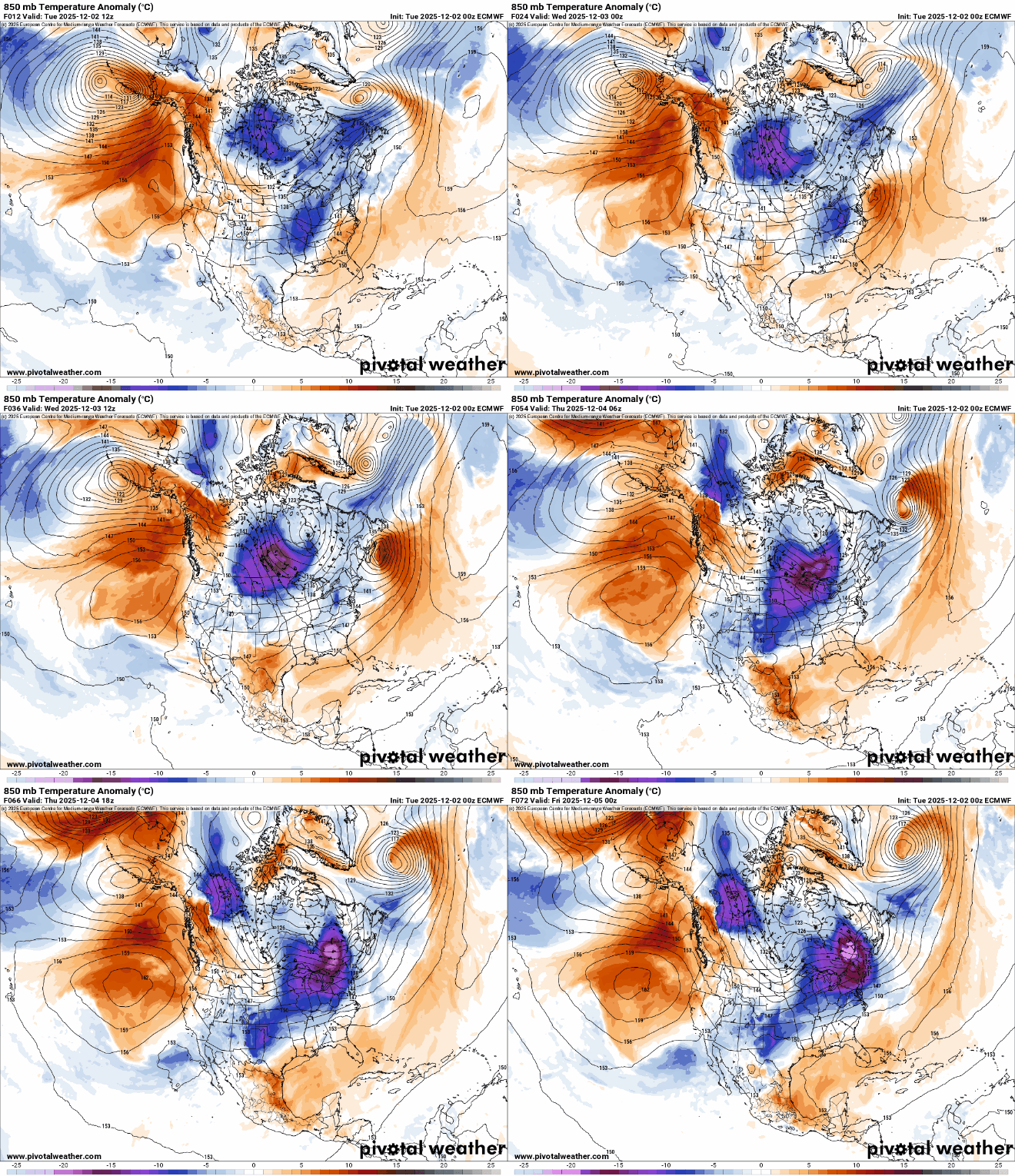
Overnight lows Wednesday night into early Thursday morning will be subzero statewide for the first time this season. Wind chill values will be in the teens and 20s below zero early Thursday morning.

More chances for snow showers come late Thursday, Friday and Saturday as a series of weak disturbances move through the region. They’ll also keep the cooler-than-average air in place.