
Clipper brings light snow Tuesday night, falling temperatures Wednesday
Go Deeper.
Create an account or log in to save stories.
Like this?
Thanks for liking this story! We have added it to a list of your favorite stories.


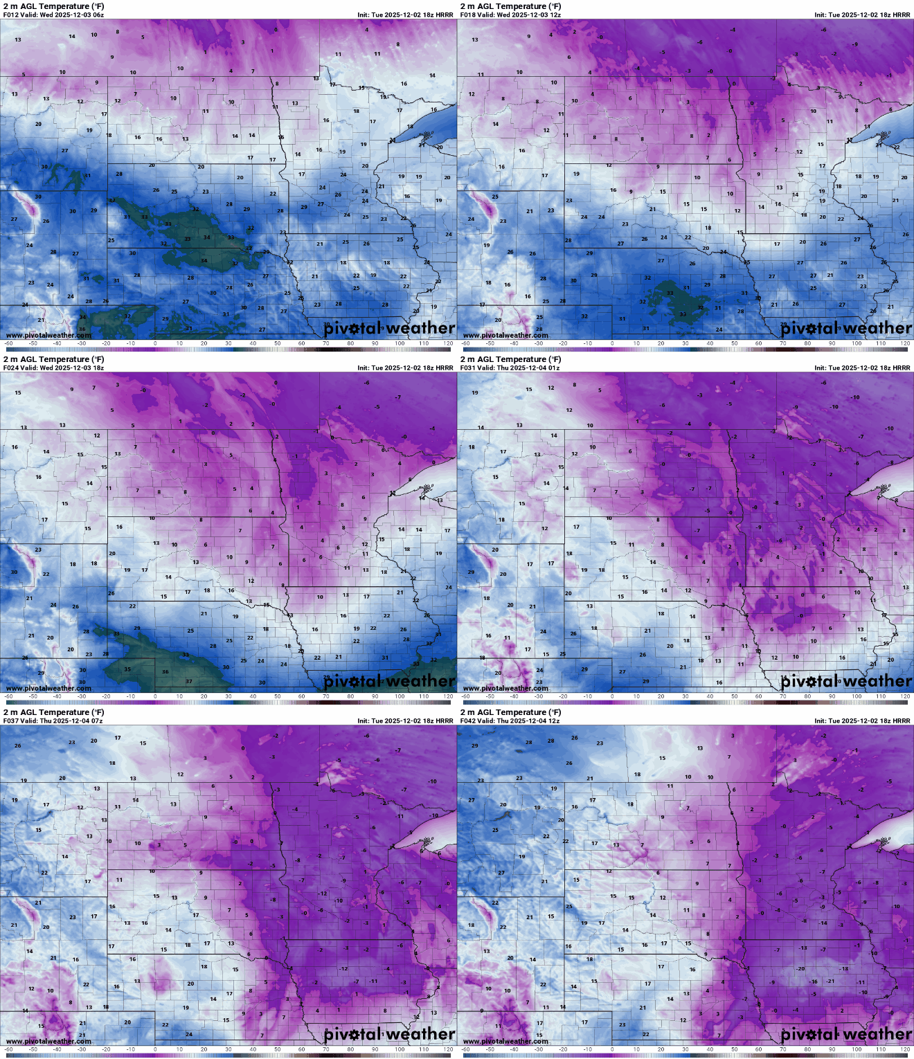
December has begun with a chilly stretch that will continue through the forecast. It will be coldest Wednesday night into Thursday with lows in the single digits and teens below zero.

Morning lows will slightly improve after Thursday, but overall temperatures will remain consistently below average. For reference, Dec. 2 in the Twin Cities has a normal high of 34 degrees and a normal low of 20.
Daytime highs will be below average every day through Sunday with the exception of Friday as we briefly return to mid-20s.

Wednesday's max temperatures will be achieved in the early overnight hours as arctic air taking over from the northwest drives temperatures into the single digits by 5 p.m.
There were some flurries Tuesday in southern Minnesota and western Wisconsin. The more widespread chance sweeps the region Tuesday night with amounts ranging from a trace to a few tenths of an inch by early Wednesday morning.
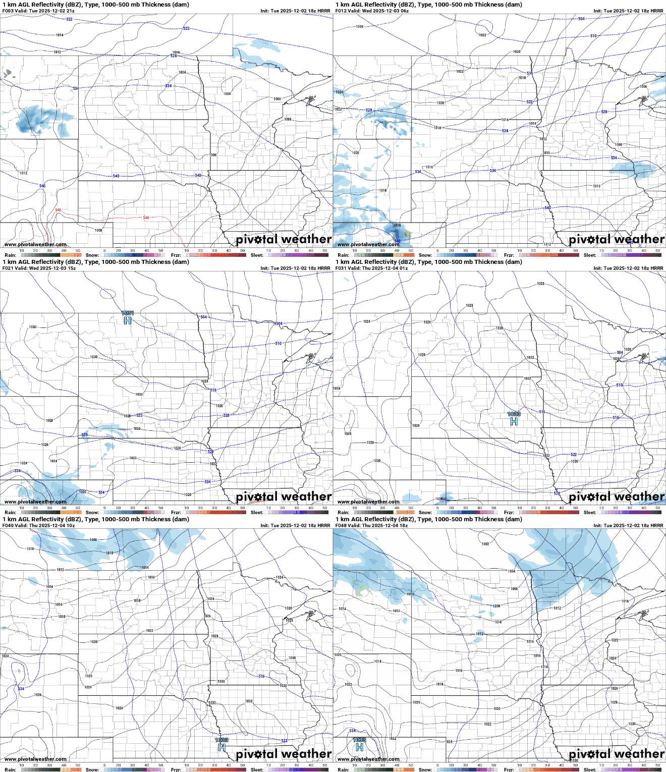
Additional similar snow events are possible Thursday through the weekend. The area with the best chance of 1 to 2 inches through Friday morning will be along the Canadian border.

We'll keep an eye on where Saturday's snow amounts could top over 1 inch, but even that round doesn't look to be significant at this time.
Turn Up Your Support
MPR News helps you turn down the noise and build shared understanding. Turn up your support for this public resource and keep trusted journalism accessible to all.

