
Temps plummet as a blast of arctic air dives south
More chances of light snow
Go Deeper.
Create an account or log in to save stories.
Like this?
Thanks for liking this story! We have added it to a list of your favorite stories.


A brief but potent chunk of arctic air is diving south. It will drop temps below zero statewide Wednesday night.
A few more disturbances move through, bringing light snow in the days ahead.
Subzero temps Wednesday night
As expected, many areas picked up some light snowfall Tuesday night from a fast-moving clipper system. Most areas saw under 1 inch.

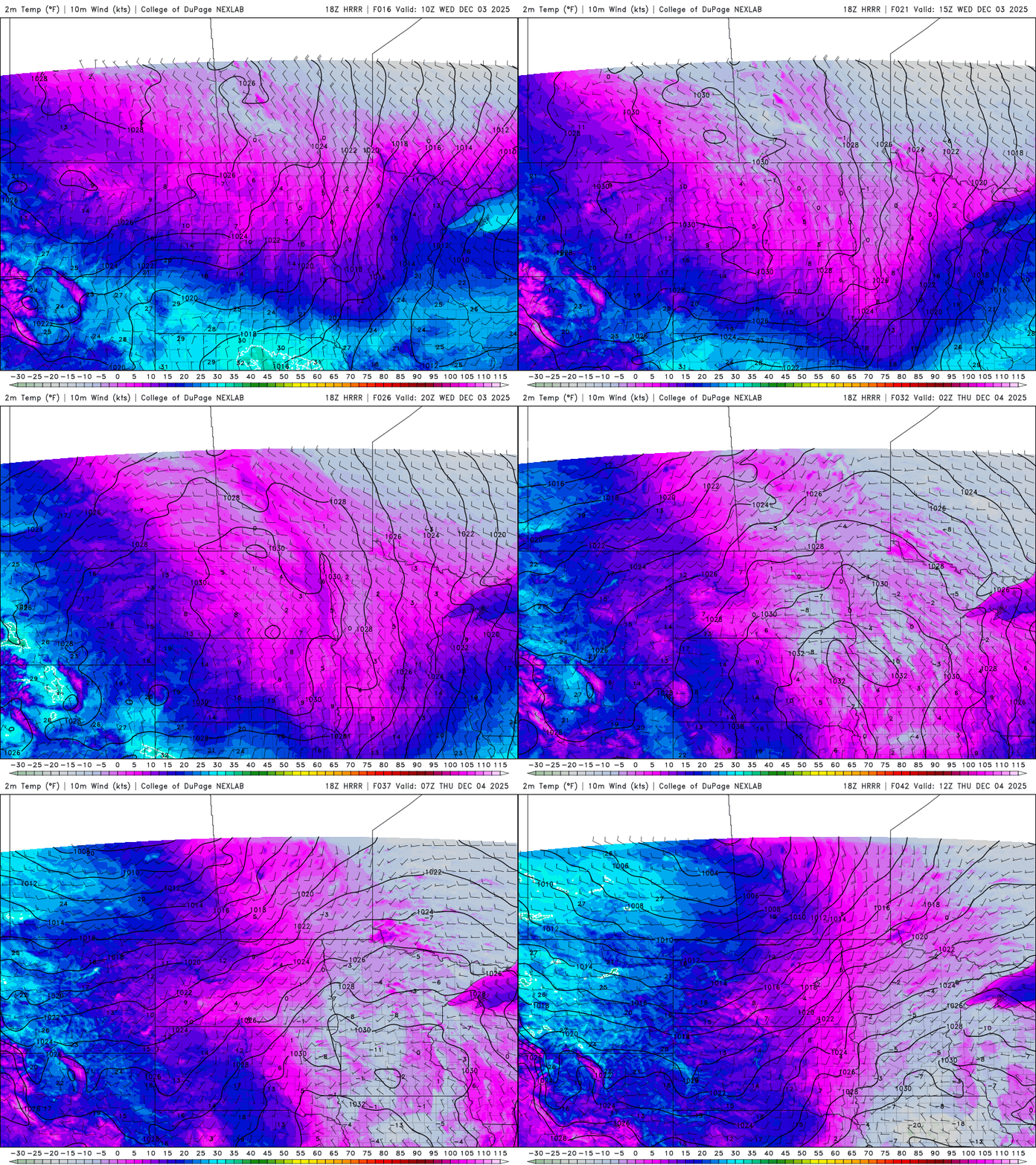
In the wake of Tuesday night’s clipper system, a brief but potent chunk of arctic air is diving south into Minnesota Wednesday. Here are forecast temperatures for midday Wednesday:
Turn Up Your Support
MPR News helps you turn down the noise and build shared understanding. Turn up your support for this public resource and keep trusted journalism accessible to all.

It will also be breezy with northwest winds 10 to 20 mph creating some cold wind chills. Wind chill values will be subzero most of the day in western and northern Minnesota with single digit wind chills in the Twin Cities and southeastern Minnesota.

It will set us up for a frigid overnight as temperatures drop below zero statewide into early Thursday morning. Portions of western and central Minnesota will be in the teens below zero. Wind chills will be in the 20s and teens below zero early Thursday morning.

Yet another clipper system will move in Thursday into Thursday night ahead of warmer air moving in for Friday. This is the second of several clippers moving through Minnesota into the weekend.
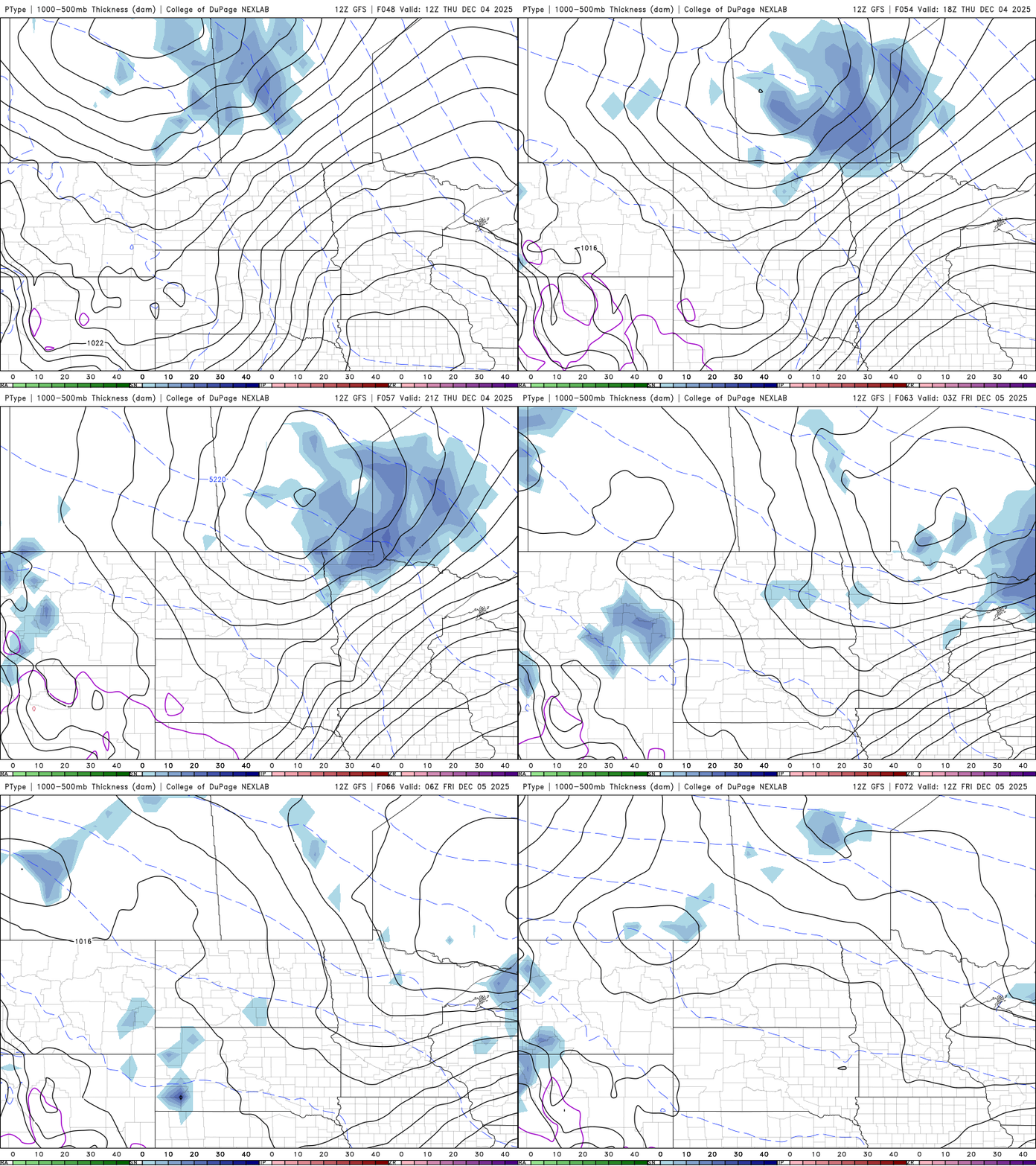
A fresh coating of snow will fall Thursday across mainly northern Minnesota of up to 1 to 2 inches for some spots.

Another couple of disturbances will touch off light snow showers Friday and potentially a more potent round of snow for southern Minnesota and Iowa on Saturday.

