
A couple more rounds of snow and cold Friday into the weekend
Milder air could visit briefly next week
Go Deeper.
Create an account or log in to save stories.
Like this?
Thanks for liking this story! We have added it to a list of your favorite stories.


The active and cold pattern continues. Friday will be briefly warmer and near 30 degrees ahead of another round of snow showers. More snow showers are possible Saturday followed by cold.
Two rounds of snow Friday, Saturday followed by more cold air
Our third clipper system of the week is moving through the state Friday, bringing a fresh coating of snow for central Minnesota but also pulling in some milder air and briefly pushing temperatures into the low 30s for much of southern Minnesota.

Snow showers will continue to expand across central Minnesota Friday morning and spread east through the morning into the midday and afternoon hours across a swath of mostly central Minnesota.
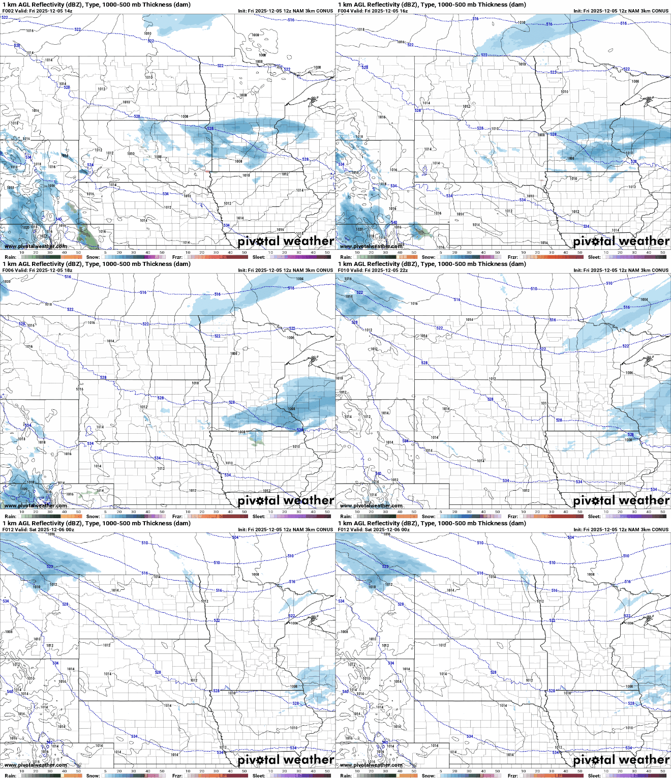
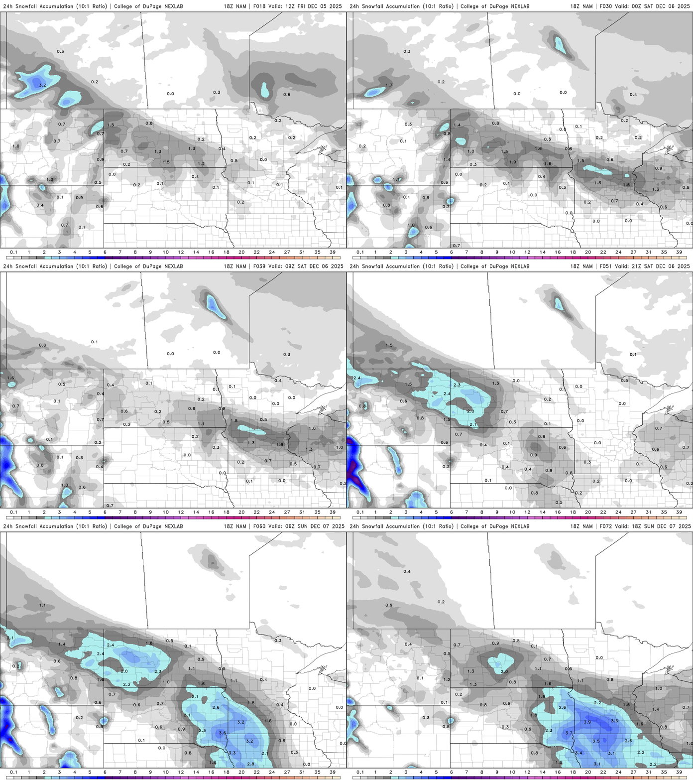
Snowfall will be up to a couple inches for parts of central Minnesota with lesser amounts north and south.
Turn Up Your Support
MPR News helps you turn down the noise and build shared understanding. Turn up your support for this public resource and keep trusted journalism accessible to all.

Another shot of snow develops for southern Minnesota Saturday into Saturday night. That snow looks most significant across the far southern counties into Iowa.
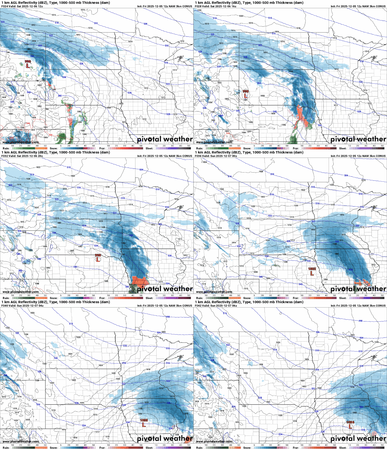
A winter weather advisory is posted for Saturday afternoon and night for southwestern Minnesota.

Parts of far southern Minnesota could see up to 3 to 6 inches of fresh snow Saturday afternoon and night with a sharp cutoff as you move north.

More cold air moves in late Saturday behind the system in southern Minnesota, dropping temperatures yet again Saturday night into Sunday and early Monday. Milder air moves in briefly by Tuesday.
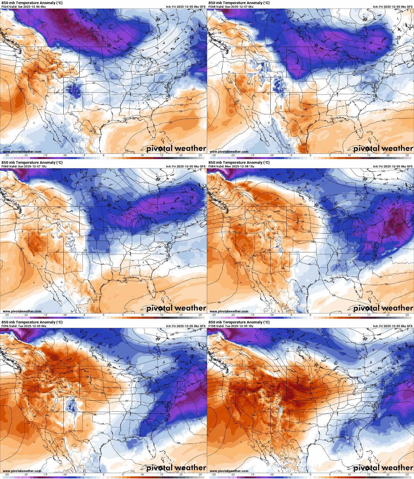
Highs Sunday will be mostly in the single digits to near 10 degrees in the Twin Cities with cold sunshine.

Highs Tuesday could be near or above freezing for much of central and southern Minnesota, at least briefly.


