
Weekend clipper prompts advisories as cold air moves in
Southern Minnesota could pick up another half foot of snow

Go Deeper.
Create an account or log in to save stories.
Like this?
Thanks for liking this story! We have added it to a list of your favorite stories.


A surge of cold air arrives Friday night, setting the stage for a chilly weekend across the region. Southern Minnesota may see another half foot of snow as a quick-hitting clipper system sweeps through the region late Saturday.
Cold weekend on the way as snow targets southern Minnesota
Behind Friday’s clipper, another surge of cold air will bring chilly temperatures to the region this weekend. Friday night lows are expected to hover around zero, making for a brisk start to Saturday morning.

Saturday won’t bring much relief from the cold. Highs will stay in the mid to upper teens in central and southern Minnesota, while northern Minnesota stays in the single digits.
Turn Up Your Support
MPR News helps you turn down the noise and build shared understanding. Turn up your support for this public resource and keep trusted journalism accessible to all.

Our next clipper is targeting southern Minnesota, where winter weather advisories are in effect from noon to midnight Saturday for areas south of the Minnesota River Valley and the Twin Cities metro.
Snowfall will begin in southwestern Minnesota before noon Saturday and spread east through the late afternoon into the evening.
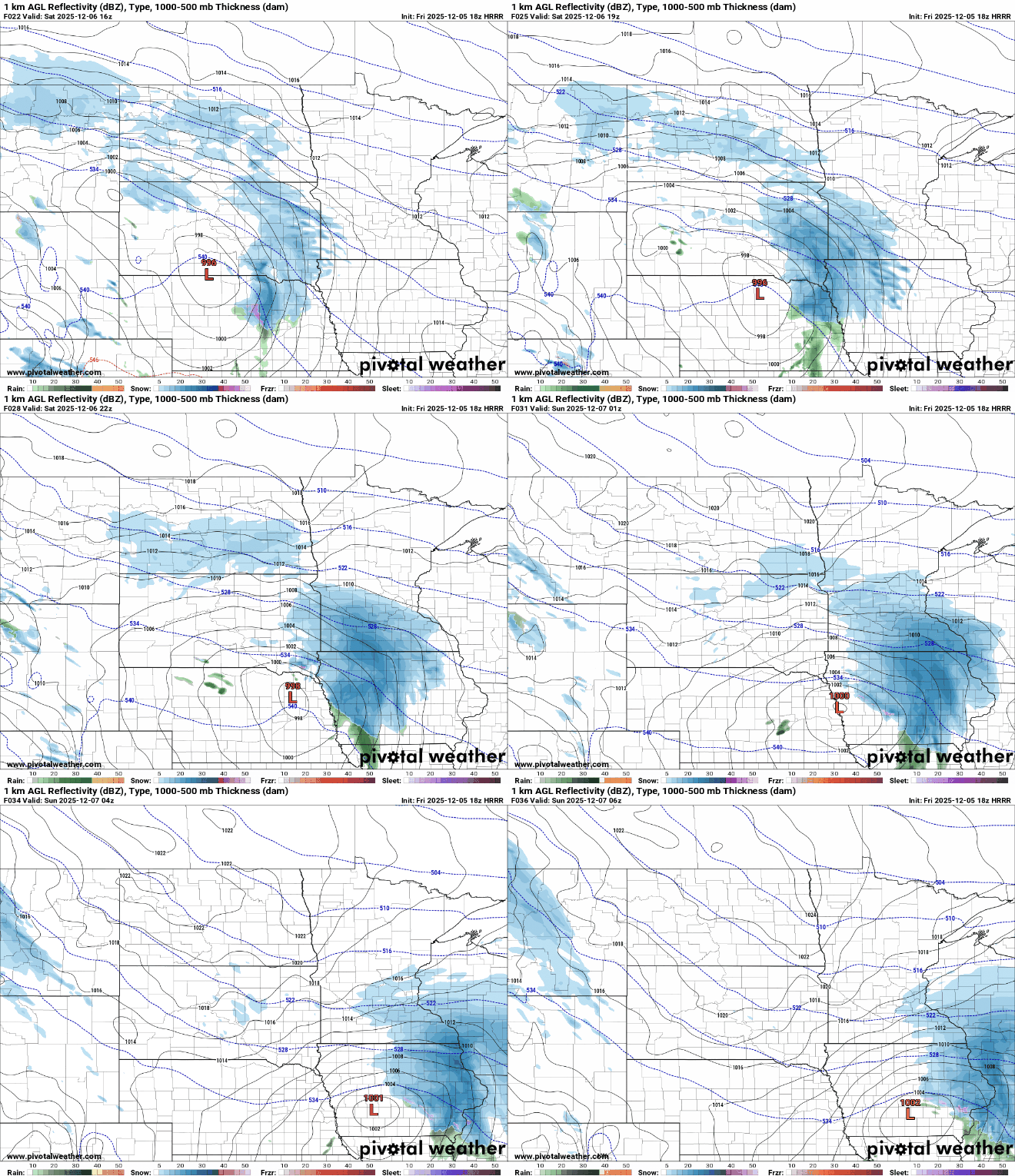
Snowfall totals will be heaviest along Interstate 90, with 3 to 6 inches possible and isolated pockets of more than 6 inches. Further north, totals will drop to 1 to 3 inches south of Interstate 94, including the southern metro area.


Temperatures will rebound into the 20s by Monday, with 30s returning by Tuesday.
An active weather pattern will continue to bring multiple rounds of snow into next week, and with warmer temperatures, there is potential for a wintry mix.

