
Snow continues south overnight with cold air behind it
More snow chances ahead next week
Go Deeper.
Create an account or log in to save stories.
Like this?
Thanks for liking this story! We have added it to a list of your favorite stories.


Snow continues overnight for far southern Minnesota with several inches of accumulation. Cold air moves in behind for tonight into early Monday. More snow chances develop this week.
Snow continues south overnight but more chances next week
Winter weather advisories and winter storm warnings continue across southern Minnesota into north central Iowa.

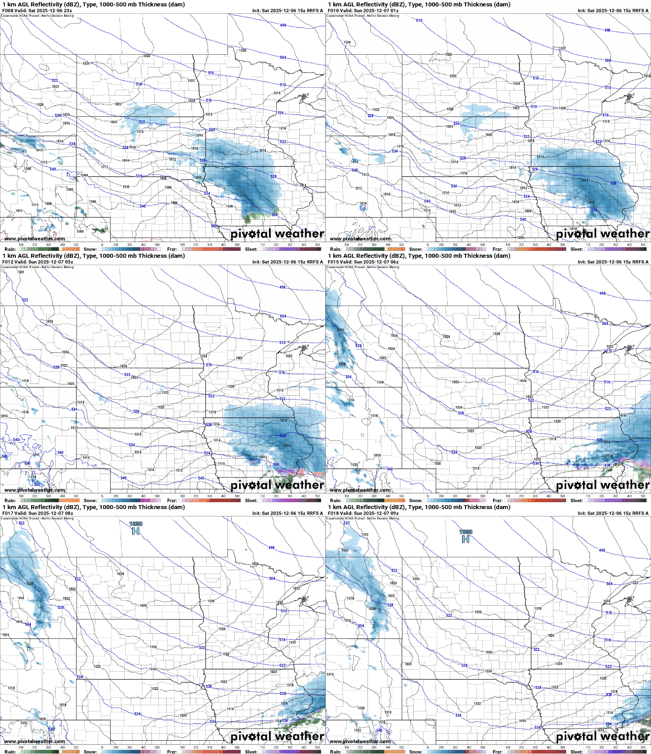
The latest round of snow continues across far southern Minnesota overnight. Central and northern Minnesota will be dry and cold with partly cloudy skies. The snow should taper off in southeast Minnesota in the early morning hours after midnight Saturday night.
Total snowfall will be several inches to even a half foot along the Minnesota-Iowa border when the snow wraps up with lesser totals as you move north.
Turn Up Your Support
MPR News helps you turn down the noise and build shared understanding. Turn up your support for this public resource and keep trusted journalism accessible to all.

Overnight lows will be substantially colder in northern and western Minnesota overnight where skies will clear and where cold air is poised to move in first. Lows there will be subzero with even teens below zero in northwest Minnesota into early Sunday morning.

Highs Sunday will be frigid, just in the single digits for most to around 10 degrees in the Twin Cities, about 20 degrees below normal for the date. We should have sunshine however, though it will be filtered some through afternoon high clouds. It’s our best shot at some sun in the next several days of this active, cold pattern.

Temperatures will briefly warm up into the 20s Monday and even 30s for central and southern Minnesota Tuesday afternoon.

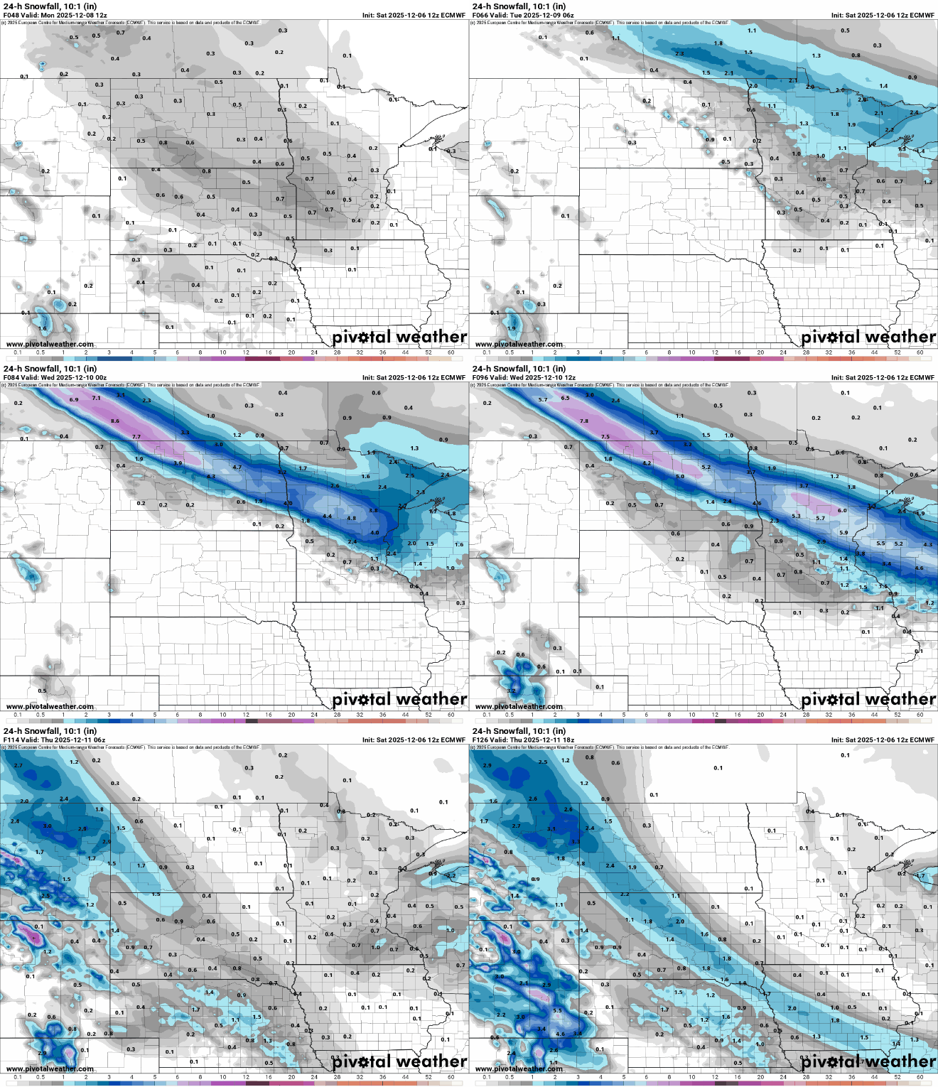
The pattern remains overall colder than normal and active however. We have additional chances of snow for northern Minnesota Monday into Monday night then a mix of snow and rain Tuesday south with another chance of snow yet again Thursday.
Late next week looks pretty cold again with single digit highs and subzero lows. It’s a real December for a change folks!

