Cold grip loosens with early week warmup and multiple snow chances
Temperatures climb above freezing for the first time in weeks

Go Deeper.
Create an account or log in to save stories.
Like this?
Thanks for liking this story! We have added it to a list of your favorite stories.


After one final day of harsh cold, a brief warmup is on the way, though multiple rounds of snow are expected to develop through early this week.
Chilly Sunday followed by big warmup
High pressure overhead will bring mostly sunny skies Sunday, but temperatures will remain bitterly cold. Highs will only reach the single digits above zero, with early wind chill readings staying well below zero.

The sunshine will be short-lived as clouds move in Sunday night ahead of another clipper system. The system will enter western Minnesota and slide southeast, bringing light snow to central and southern Minnesota, with accumulations generally under an inch.
A one-two punch of clippers will bring another round of light snow to northwestern Minnesota by Monday evening, with 1 to 3 inches expected in the north and an additional 1 to 2 inches possible in central areas.
Turn Up Your Support
MPR News helps you turn down the noise and build shared understanding. Turn up your support for this public resource and keep trusted journalism accessible to all.
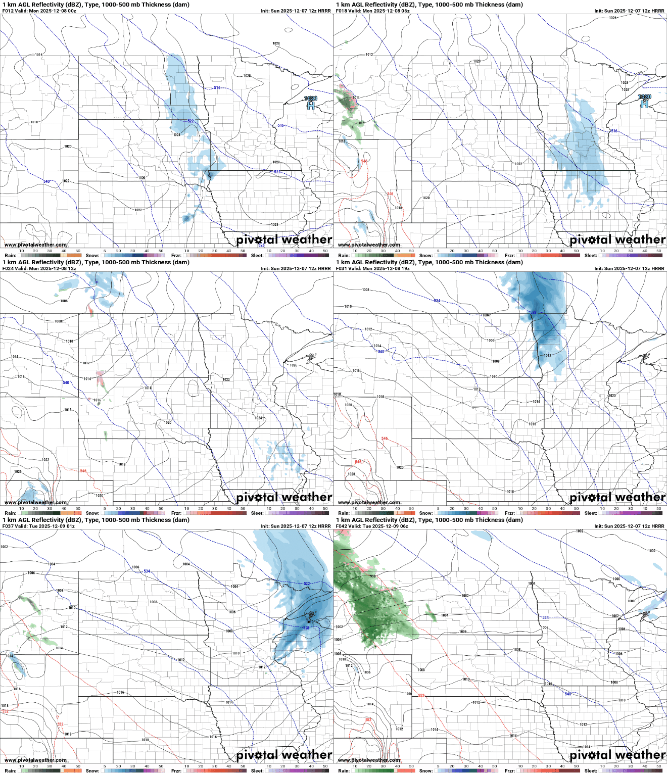
Temperatures Monday will rise into the low to mid-20s, with highs in the teens across northern areas and even some 30s in southwestern Minnesota.

Stronger clipper to bring mixed precipitation, heavy snow Tuesday
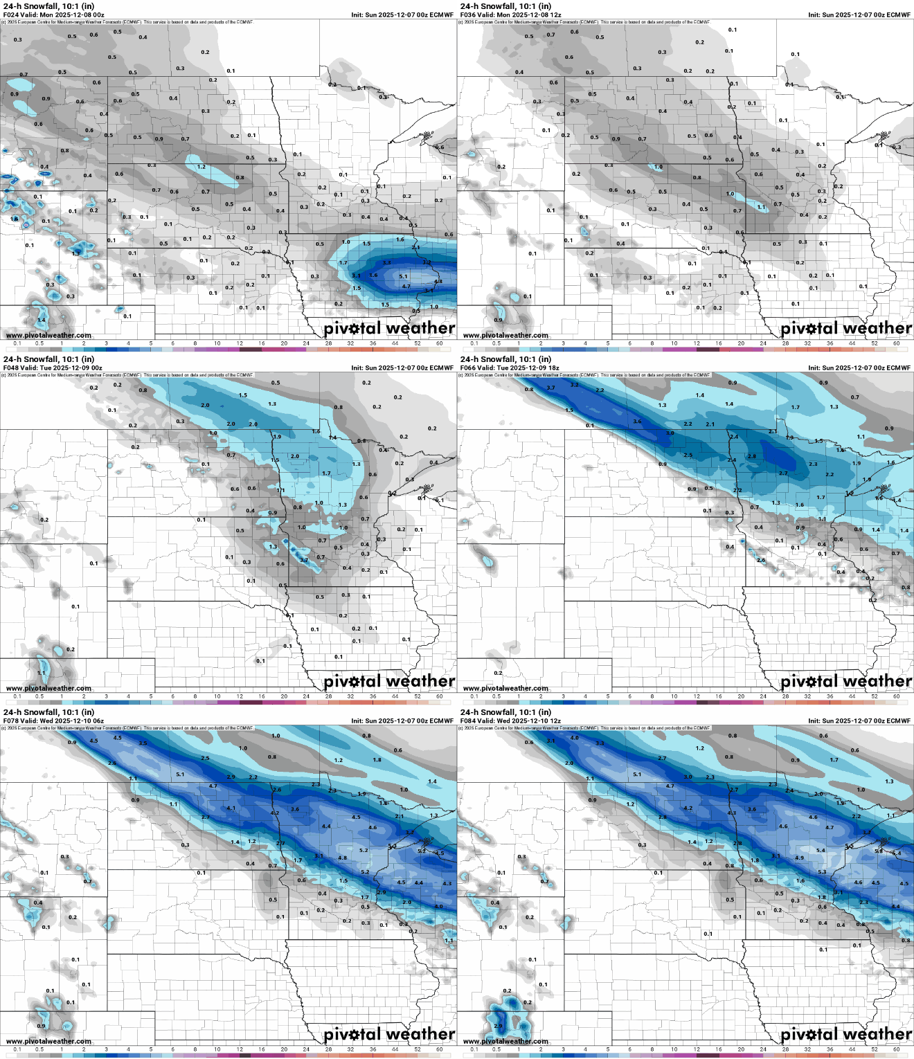
Tuesday is shaping up to be the most impactful weather day of the week. Forecast models continue to strengthen another clipper system as it approaches western Minnesota Tuesday afternoon, before sweeping southeast into the lower Great Lakes by Wednesday morning.
Warm temperatures in the 30s, and even some 40s in southwestern Minnesota, could bring mixed precipitation, with rain transitioning to snow in parts of the state and affecting total snow amounts.
Uncertainty in the system’s track makes it difficult to pinpoint the heaviest snowfall, but a narrow swath of 4 to 6 inches is possible with this intense clipper.
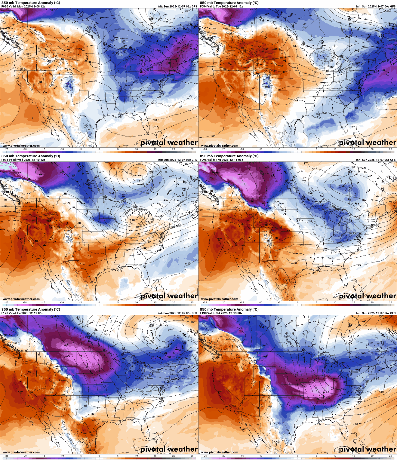
Bitter cold temperatures return late week as an Arctic air mass moves in from northwest Canada. Highs could struggle to rise out of the single digits on Friday and Saturday, with nighttime temperatures plunging well below zero.