
Warm temps early this week followed by parade of snow systems
Above freezing temperatures by Tuesday

Go Deeper.
Create an account or log in to save stories.
Like this?
Thanks for liking this story! We have added it to a list of your favorite stories.


Following several cold weeks, we’ll see a noticeable warmup to start the week. Temperatures then return to seasonal levels near the freezing mark as multiple clipper systems move through, bringing the potential for heavier snow and mixed precipitation.
Cold night followed by climbing temperatures
A brief warmup is in the forecast after one more cold night. Low temperatures Sunday night will slip into the single digits above and below zero.

As warm air makes its way into the region, it will trigger a few light snow showers across mainly southern Minnesota ending by Monday morning, with less than an inch of accumulation.
Turn Up Your Support
MPR News helps you turn down the noise and build shared understanding. Turn up your support for this public resource and keep trusted journalism accessible to all.
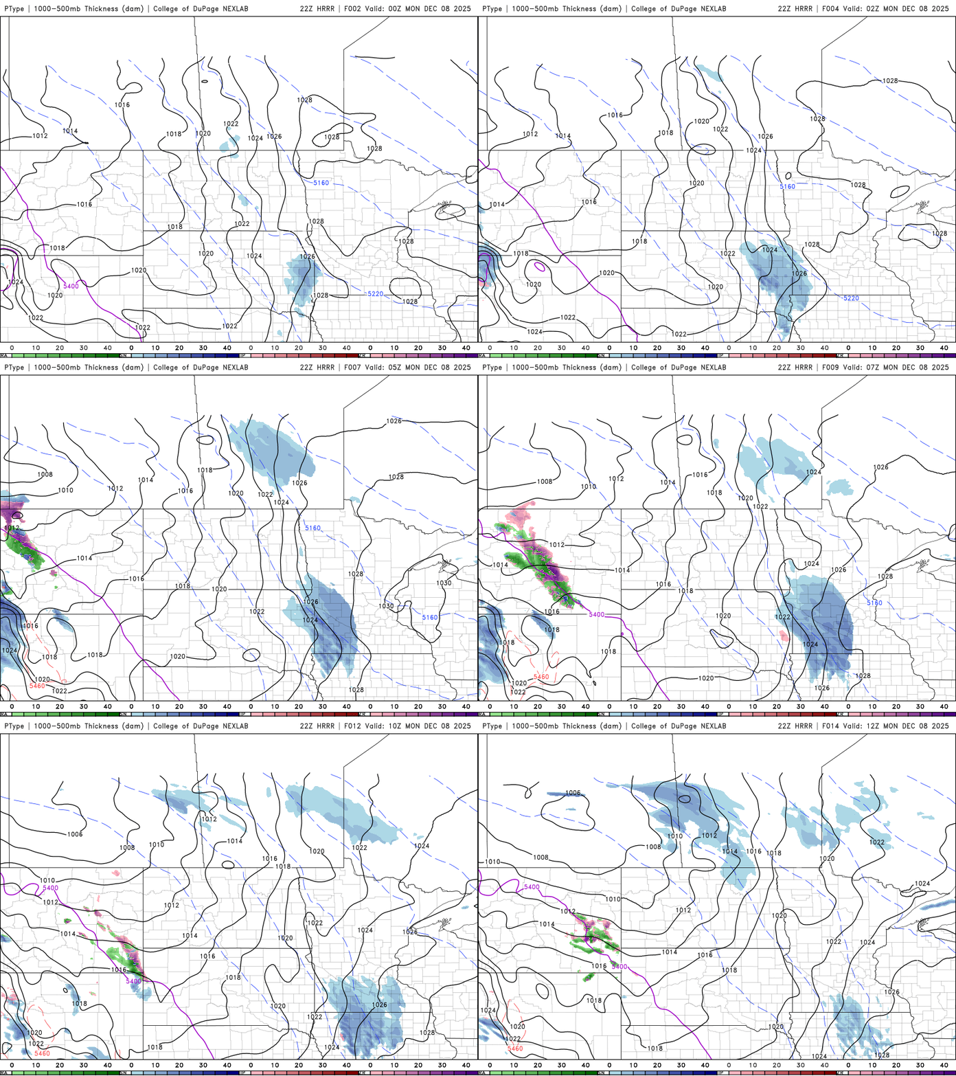
Monday’s high temperatures will return to the 20s and 30s, with a clipper system bringing accumulation snowfall to mainly northern Minnesota.
Snow moves into northwestern Minnesota by Monday afternoon, bringing 1–3 inches of accumulation to areas north of Highway 2. Cook and Lake counties in the Arrowhead are under a winter weather advisory from 9 a.m. Monday to 6 a.m. Tuesday, with 4–6 inches possible due to lake-effect snow.

Troublesome clipper for Tuesday
A more potent clipper system will move into the state by Tuesday afternoon, with the potential for heavy snow accumulation of 3–6 inches, mainly across central and northern Minnesota.
Warmer temperatures in the 30s and 40s Tuesday will complicate the forecast, bringing the potential for rain, freezing rain, and a rain-to-snow transition. The system is expected to be fast-moving, with the potential for moderate to heavy snow before it exits the area early Wednesday.
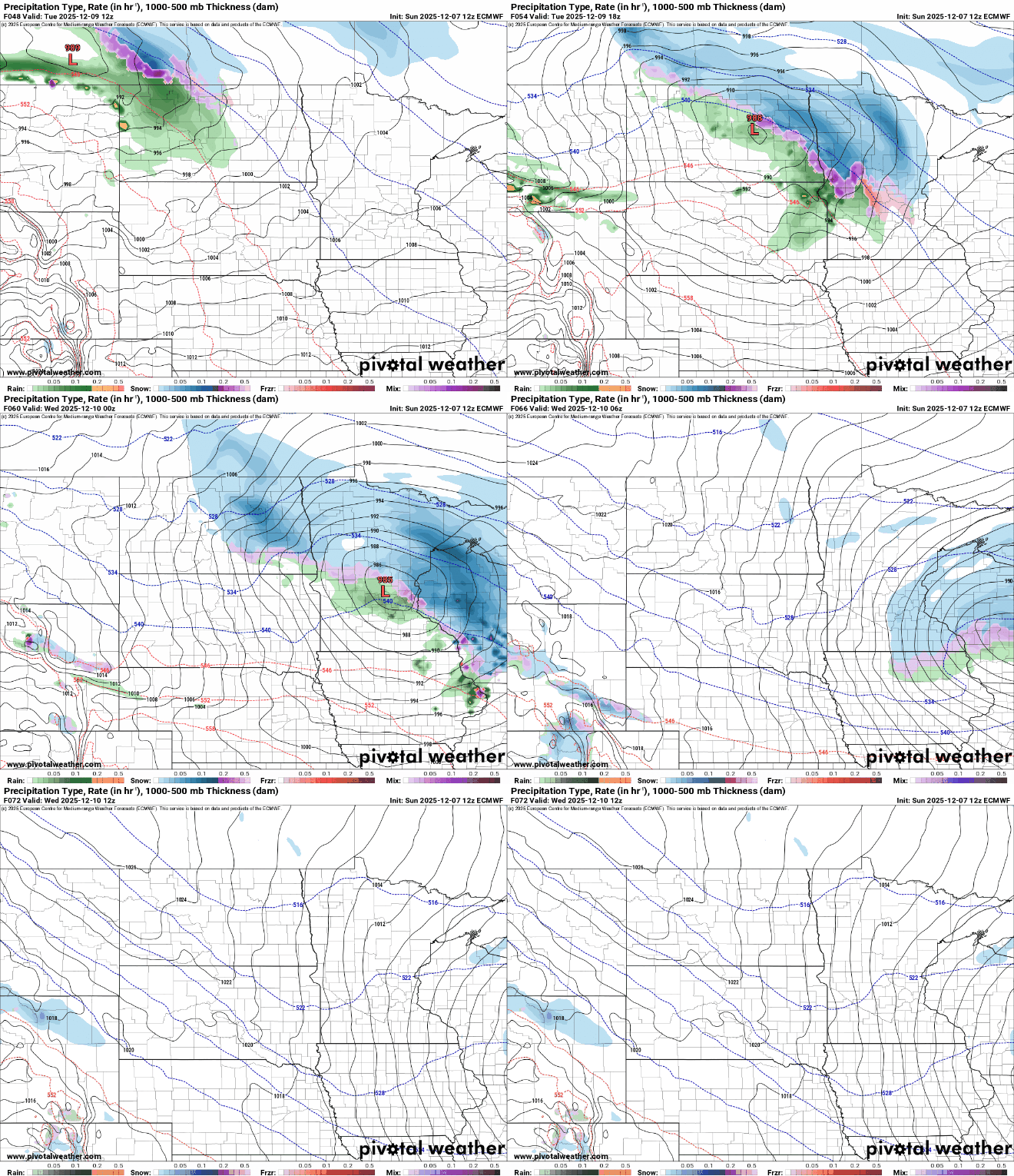
Winter storm watches will be issued soon, and as the system approaches, we’ll be able to refine the forecast details.
Our winter wonderland continues!

