
Warmer Monday and Tuesday with a couple rounds of snow ahead
Wintry mix possible Tuesday

Go Deeper.
Create an account or log in to save stories.
Like this?
Thanks for liking this story! We have added it to a list of your favorite stories.


The week starts warmer but ends colder. The pattern also remains active with disturbances bringing snow chances late Monday, Tuesday and Thursday this week.
Week starts mild, ends cold; active weather pattern
We get a reprieve from the cold air Monday and Tuesday. Highs Monday will be in the 20s across southern Minnesota with teens north. Skies will be mostly cloudy, however, so hopefully you enjoyed some of the cold sunshine Sunday.

Snow showers will develop Monday afternoon across northwestern Minnesota and spread east across much of northern Minnesota into the evening and overnight.
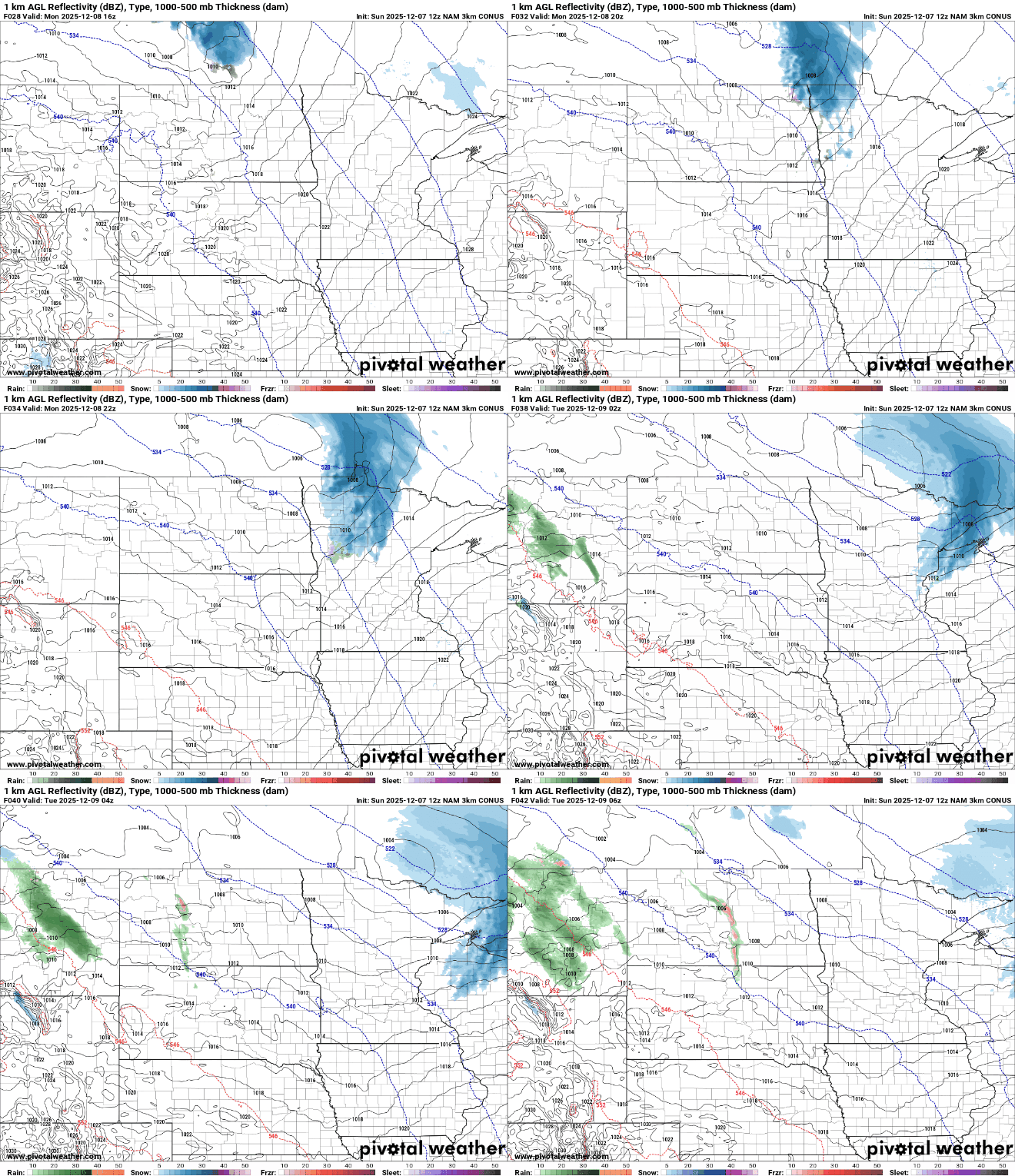
There’s a winter weather advisory Monday into Monday night for northeastern Minnesota. Then a winter storm watch takes effect Tuesday into Tuesday night for much of northern and central Minnesota.
Turn Up Your Support
MPR News helps you turn down the noise and build shared understanding. Turn up your support for this public resource and keep trusted journalism accessible to all.
Accumulations will be mostly in the 1 to 3-inch range for northeastern Minnesota late Monday and Monday night with some pockets of 4 inches possible along the North Shore.

Tuesday will be warmer with above-freezing highs in southern Minnesota. Southwestern Minnesota could reach 40 degrees Tuesday afternoon.

Another system brings more snow Tuesday with potentially a wintry mix of precipitation in the Twin Cities and across central and southern Minnesota before turning to all snow.
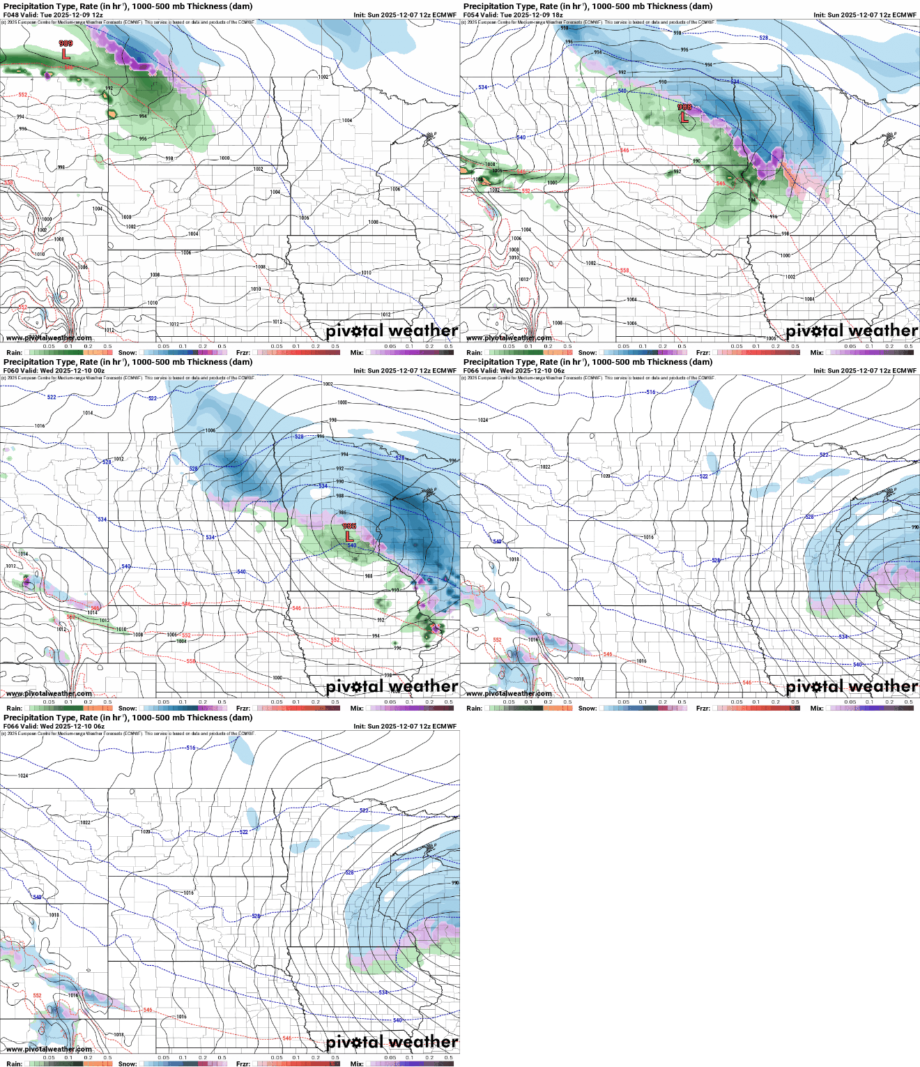
Several inches of snow could fall across central and northern Minnesota Tuesday into Tuesday night, although any slight fluctuation north or south in this track will have major impacts on final snowfall totals.
Some forecast models are hinting at a shifting track, southward. That could put the Twin Cities area into some of the heavier totals if that trend holds.

Another disturbance brings more light snow Thursday and drag down some bitter cold air to end the week. Friday and Saturday will see mostly single-digit highs with subzero nights again.

