
More snow for southern Minnesota Thursday followed by a frigid weekend
Unusually early bitter cold temps for Saturday night

Go Deeper.
Create an account or log in to save stories.
Like this?
Thanks for liking this story! We have added it to a list of your favorite stories.


Another round of snow is moving across southern Minnesota Thursday. It will be followed by some very cold air this weekend for this early in the winter season.
More snow south Thursday; bitter cold weekend ahead
If you feel like you just set down your snow shovel, you’re right — but here we go again.
Another disturbance is bringing a fresh round of snow to western and southern Minnesota Thursday. The snow showers will start early in the west, making their way across the southern part of the state into the afternoon and evening.
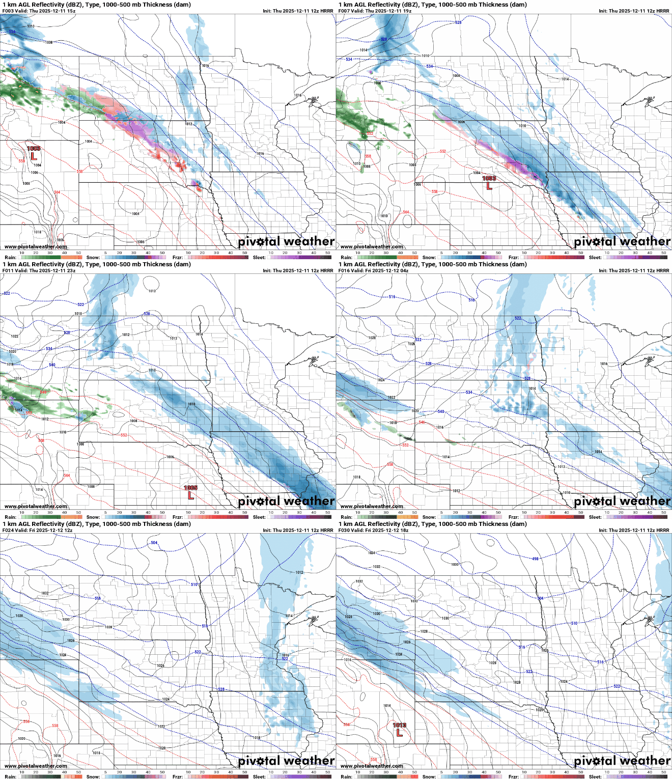
A winter weather advisory is posted Thursday for southwestern Minnesota:
Turn Up Your Support
MPR News helps you turn down the noise and build shared understanding. Turn up your support for this public resource and keep trusted journalism accessible to all.

Snowfall will be relatively light across central and northern Minnesota — under one-half inch — but parts of southwestern Minnesota could get 1 to 3 inches of snow. Many of those areas missed the Tuesday snowfall.
Temperatures will be cooler than the last couple of days, but not too frigid just yet. Highs will be mostly in the teens with some 20s in far southwestern Minnesota Thursday afternoon.

Overnight lows will again fall just below zero north and just above zero south to the low teens in the Twin Cities and southern Minnesota.

Far southwestern Minnesota into the Dakotas, Nebraska and Iowa could get yet more snow late Friday into Friday night ahead of an arctic blast of air for the weekend.

The coldest air of the season yet is poised to move in late Friday into the weekend.
This is an air mass we’d more typically expect in January or February. The air is coming from the Yukon and Northwest territories of Canada where readings there have been in the 30s and 40s below zero.
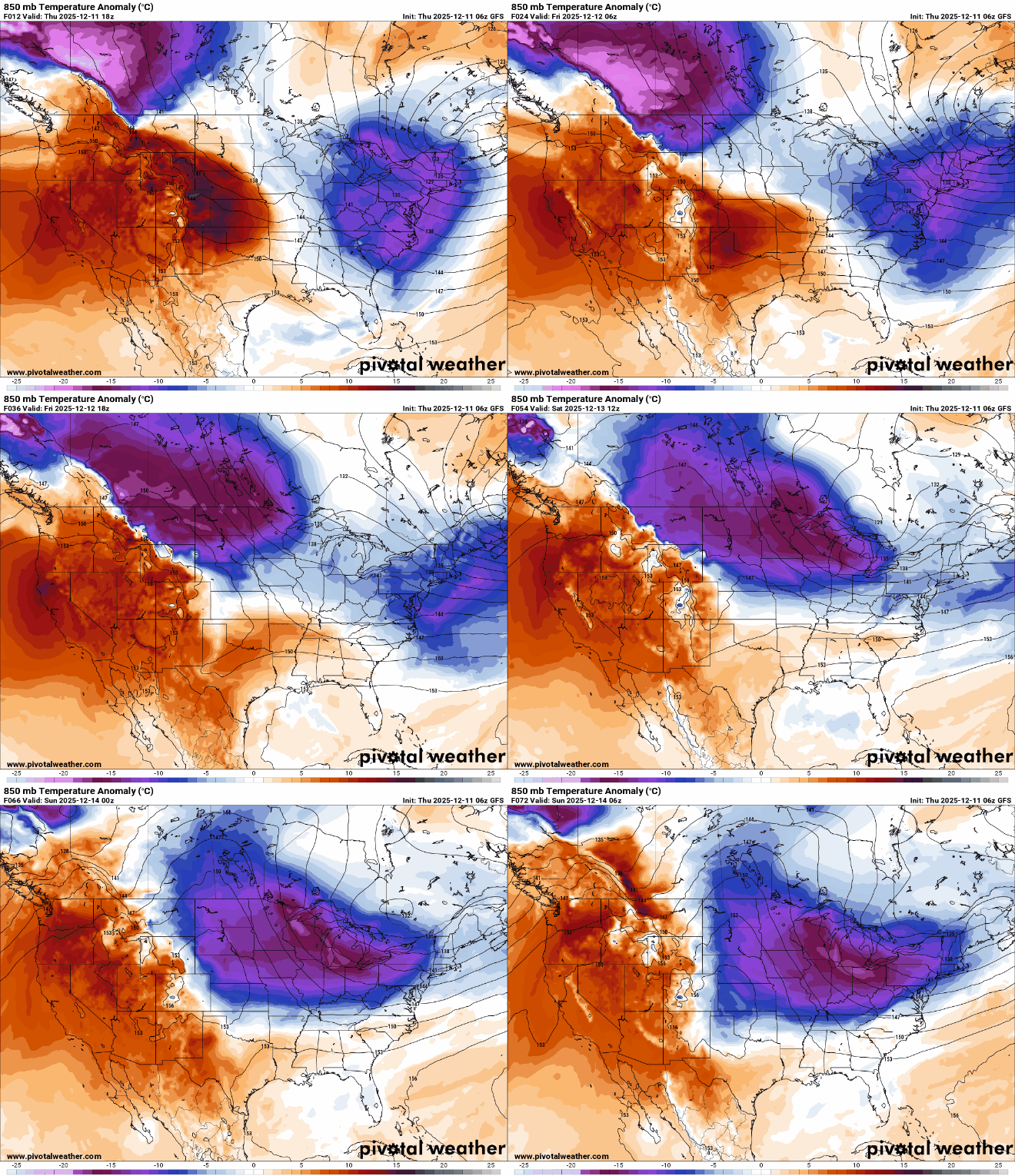
Highs Saturday will struggle to reach zero for most of Minnesota. Again, it’s quite unusual for southern Minnesota to remain below zero during the day this early in winter.

Saturday night will bring the coldest temperatures of the season so far with teens below zero in the Twin Cities and 20s below zero north. If the Twin Cities reaches 12 below zero or colder, it will be the earliest such temperature in the winter season since 1989.

While the weekend will be bitterly cold, we are in for some relief next week. A much milder Pacific air mass moves in Monday, pushing temperatures into the 20s. We could see a few days in the 30s for central and southern Minnesota.
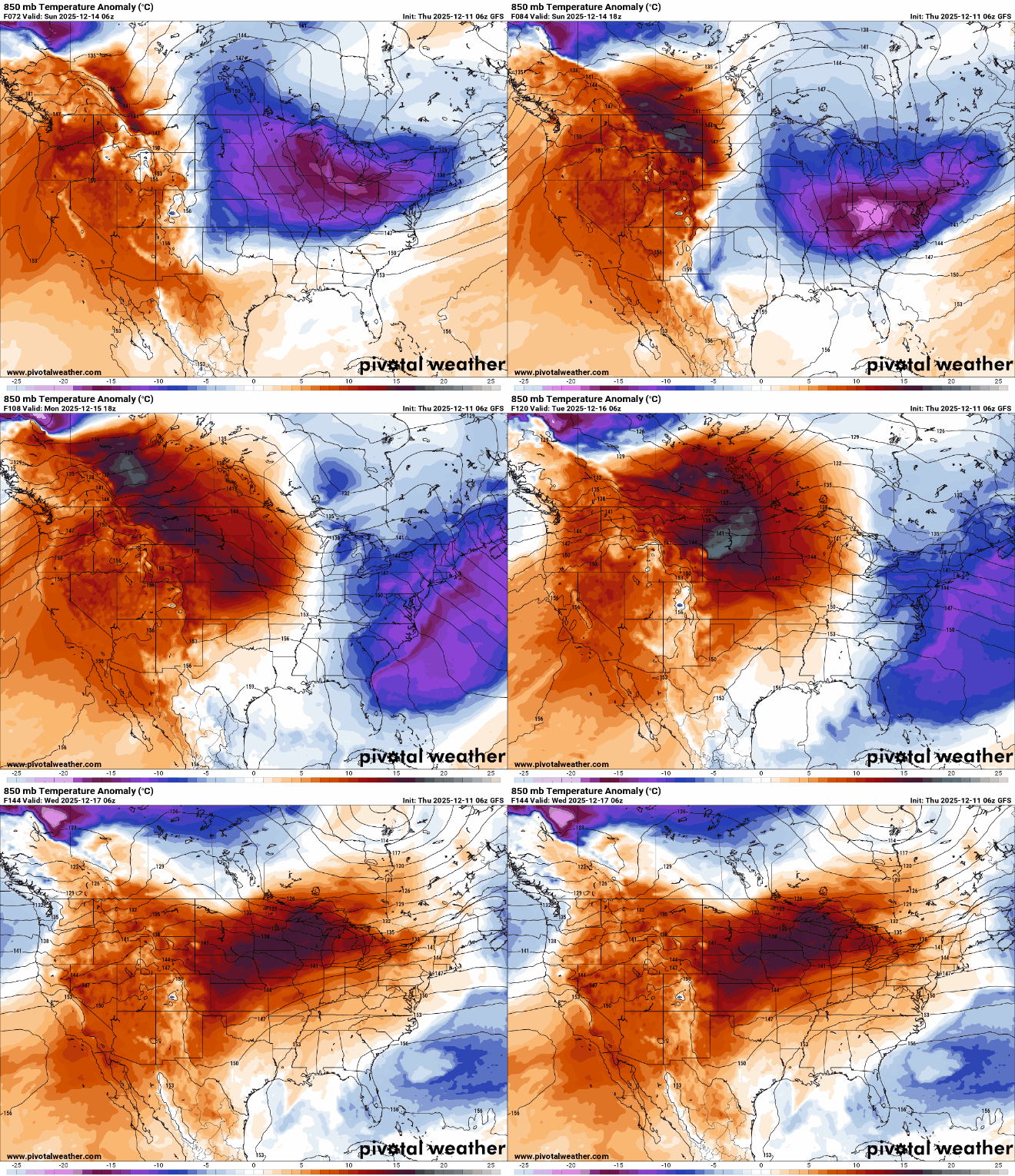
Highs by Tuesday afternoon could be above freezing for much of southern Minnesota giving way to a bit of a thaw so we can make room for more snow and ice ahead:


