
Very frigid weekend ahead; milder next week
Brutal wind chills late Friday into Sunday
Go Deeper.
Create an account or log in to save stories.
Like this?
Thanks for liking this story! We have added it to a list of your favorite stories.


We’ve had more snowfall this week and now we’re in for some very frigid air. Wind chills will be 20 to 40 below zero Friday night into Saturday night. Warmer air arrives next week.
Brutal arctic blast, frigid weekend ahead
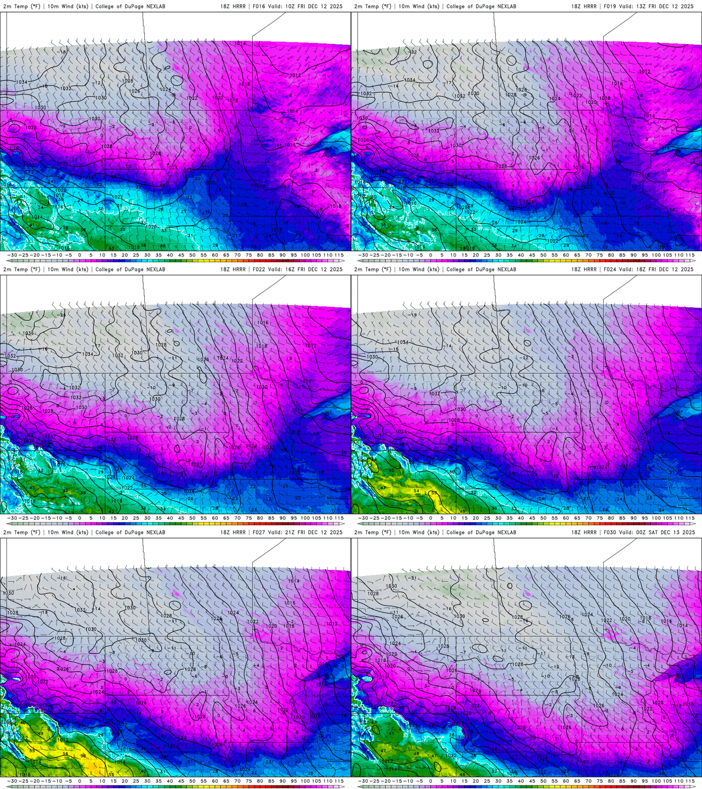
Temperatures will drop through the day Friday from the teens into the single digits for southern Minnesota with subzero temperatures moving in for northern Minnesota by late afternoon.
Wind chills will be near 10 below zero in the Twin Cities by midafternoon with teens and 20s below zero in Minnesota’s north and west. We’ll also have some scattered snow showers that could drop a dusting to a coating of snow in some spots.

Temperatures Friday night will be subzero for most of the state. Parts of northwestern Minnesota could be in the 20s below zero.
Turn Up Your Support
MPR News helps you turn down the noise and build shared understanding. Turn up your support for this public resource and keep trusted journalism accessible to all.
There is a cold weather advisory Friday night through Sunday morning for much of Minnesota due to severe cold and wind chills.

There will also be another shot of snow for far southwestern Minnesota Friday night into Saturday morning on the edge of the arctic air mass and less-cold air to the south and southwest.
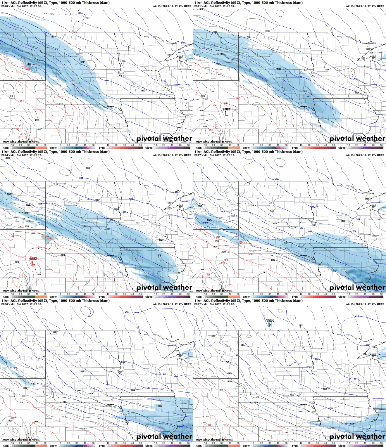
Southwestern Minnesota towns including Pipestone, Jackson and Worthington could see up to 1 to 3 inches of snow fall into Saturday.
The lighter snowfall accumulations in eastern Minnesota are a result of the quickly moving light snow showers Friday morning.

Wind chills early Saturday morning will range from an eye-popping 20 to 40 below zero. Wind chills will stay well below zero all day Saturday.
Actual temperatures Saturday will remain below zero for most of the state. We may pull off a high of zero in the Twin Cities if we’re lucky. Far southwestern Minnesota could be clipped by another inch or two of snow.

It will all set us up for a very cold Saturday night. Under mainly clear skies, temperatures will plummet into the teens and 20s below zero across the state.

Highs Sunday should reach above zero and we rapidly warm up early next week. Highs Monday will be in the 20s for central and southern Minnesota and we’ll see highs in the 30s Tuesday and Wednesday with a 40-degree reading possible.


