
Coldest night of the season ahead; cold weather advisory continues
High pressure brings bitter cold through the weekend
Go Deeper.
Create an account or log in to save stories.
Like this?
Thanks for liking this story! We have added it to a list of your favorite stories.


High pressure in control will bring the coldest night of the season Saturday night, with a cold weather advisory in effect.
Coldest night of the season ahead
With little cloud cover and light winds, ideal radiational cooling will allow temperatures to fall quickly Saturday night into Sunday morning. Overnight lows will drop well below normal for this time of year, creating dangerously cold conditions late at night and into early Sunday morning. Temperatures are expected to fall into the teens and as low as 20 below zero.

Wind chill values will range from 20 to 40 below zero, with frostbite possible on exposed skin in less than 30 minutes.
Turn Up Your Support
MPR News helps you turn down the noise and build shared understanding. Turn up your support for this public resource and keep trusted journalism accessible to all.
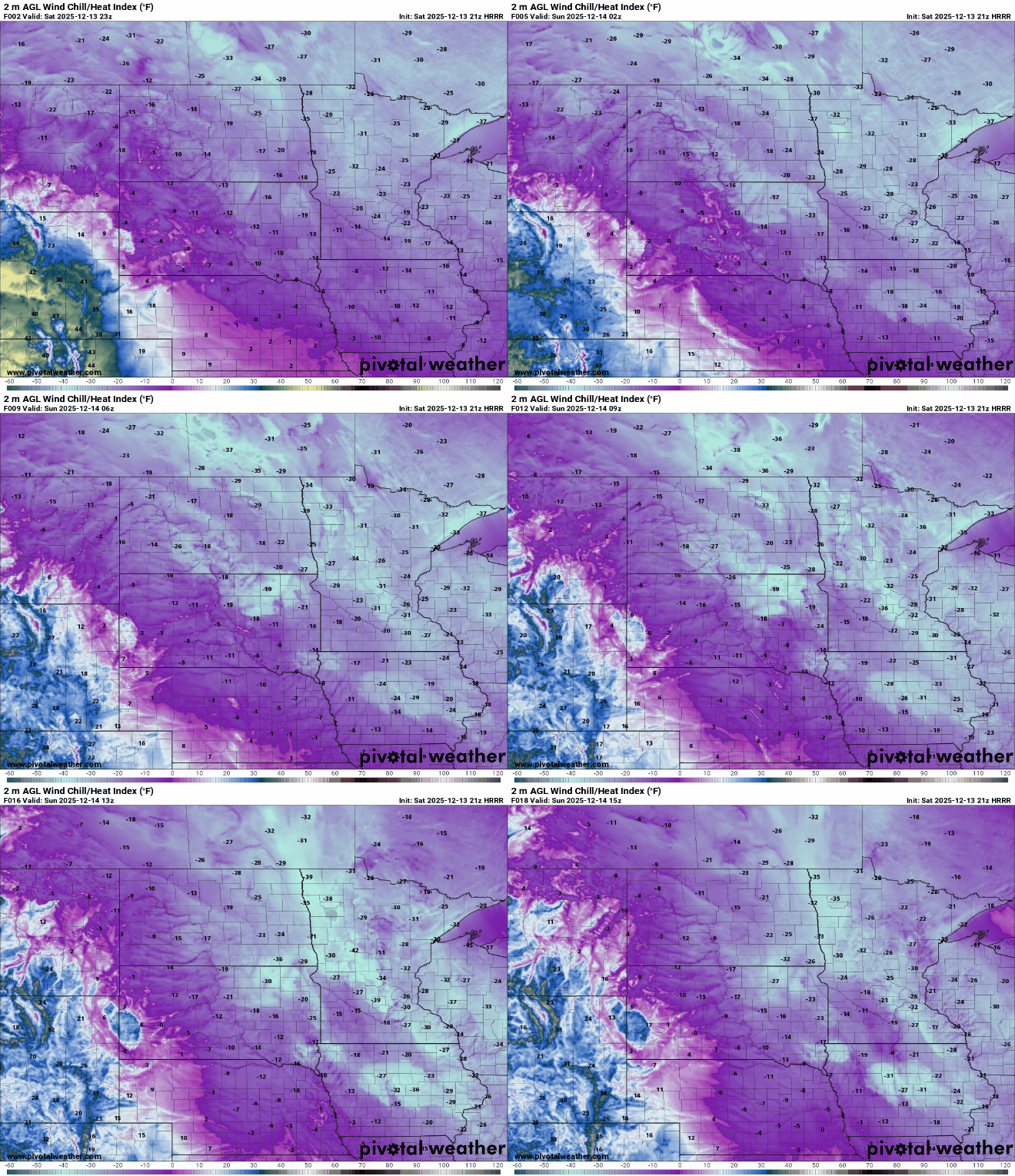
A cold weather advisory remains in effect for the state through Sunday morning.

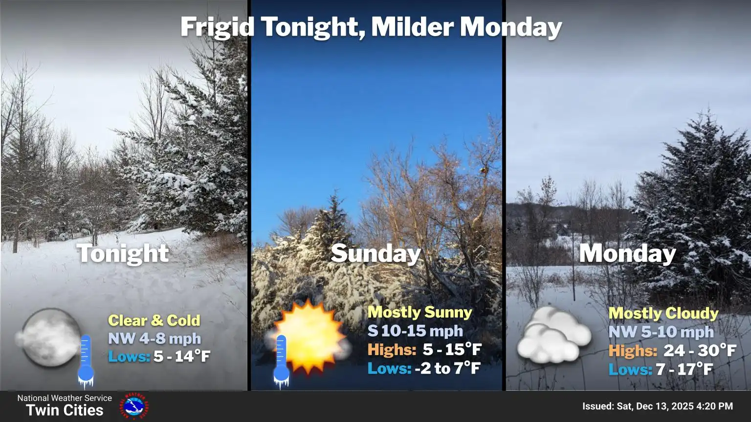
While Sunday will be a bit warmer than Saturday, highs will still struggle to reach the single digits, with a few areas in the west seeing temperatures climb into the low to mid-teens.

A major warm-up is expected early next week, with temperatures climbing into the 40s statewide by Tuesday. After weeks of frigid weather, it will feel like a dramatic change, as the Twin Cities haven’t seen above-freezing temperatures since November 25.

Our next weather system is expected Wednesday into Thursday, bringing a chance of a wintry mix of precipitation along with warmer temperatures.

