Frigid weekend forecast: Cold weather advisories in place
Bitter cold wind chills from 25 to 45 below this weekend

Go Deeper.
Create an account or log in to save stories.
Like this?
Thanks for liking this story! We have added it to a list of your favorite stories.


High pressure advancing into the region will allow bitter Arctic air to spill southward, bringing the coldest temperatures of the season. Dangerous wind chills between 25 and 45 below zero are expected.
Deep freeze ahead
After falling below zero around 8 p.m. Friday, temperatures will remain below zero through the entire weekend. For perspective, average mid-December temperatures are a high of 29 and a low of 16.
Hues of purple dominate Saturday’s temperature map, with highs in the single digits above zero across southern areas and single digits below zero to the north.
Turn Up Your Support
MPR News helps you turn down the noise and build shared understanding. Turn up your support for this public resource and keep trusted journalism accessible to all.

These temperatures, combined with even light winds, will create dangerous wind chill values ranging from 25 to 45 below zero.
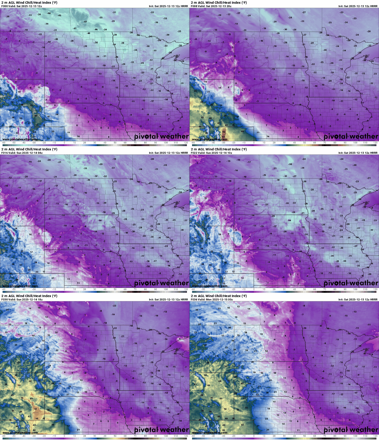
The entire state is under a Cold Weather Advisory for Saturday and Sunday due to dangerously cold wind chills.
The northwestern corner of the state is under an extreme cold warning until noon Saturday, with forecast wind chill values as low as 45 below zero. At these levels, frostbite can develop on exposed skin in as little as 10 minutes.

High pressure will continue settling in Saturday night and Sunday, bringing another frigid night as temperatures and wind chills once again plunge well below zero.

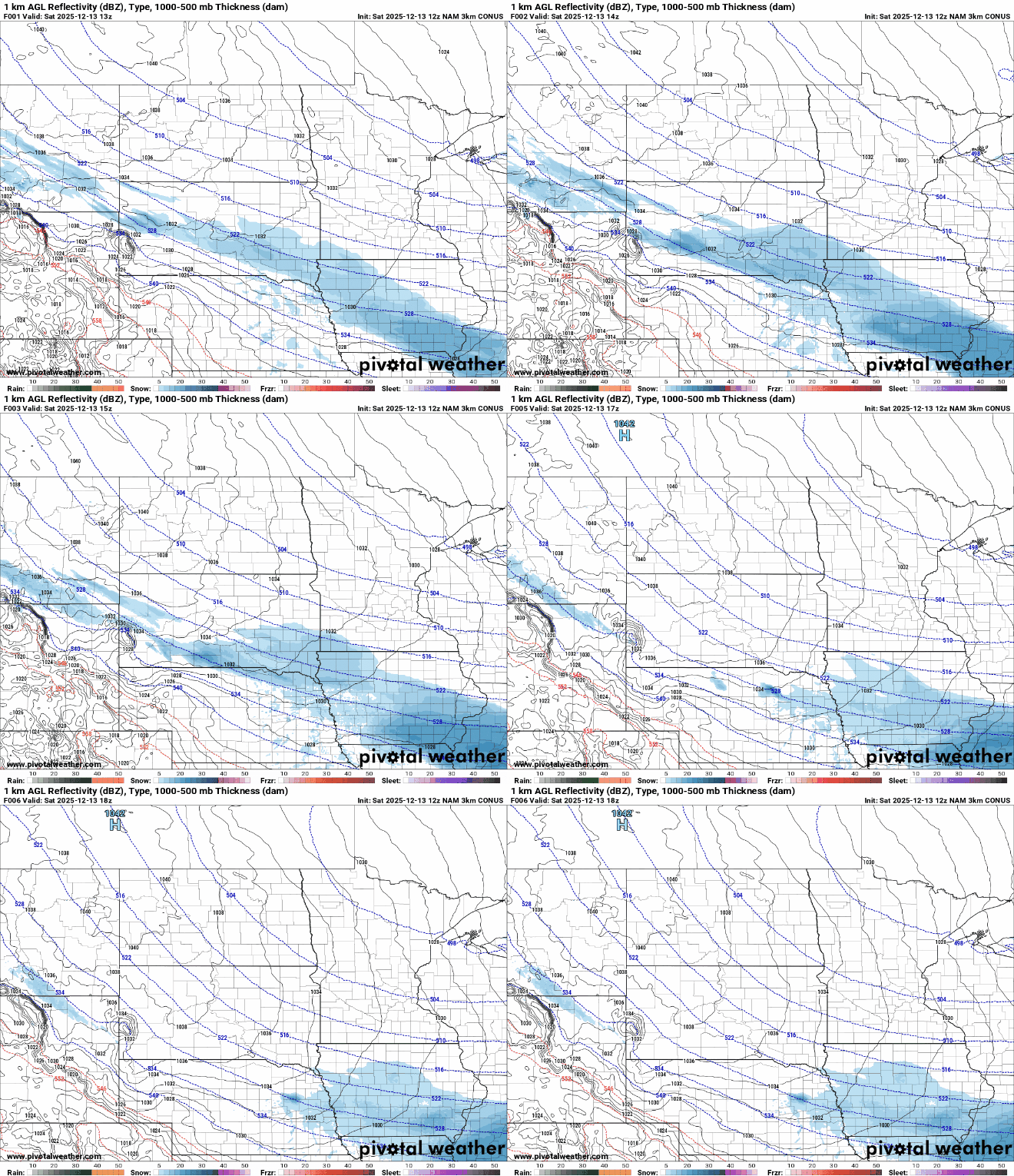
Light snow is possible early Saturday in southwestern Minnesota as a clipper system moves south. Accumulations are expected to be light, generally under an inch.
No major precipitation systems are expected until the middle of next week, when warmer temperatures in the 30s and 40s could bring a chance of a wintry mix and very blustery winds.