
Temperatures rising overnight, leading to noticeable warming Tuesday
Above-freezing temperatures for the first time since Nov. 25
Go Deeper.
Create an account or log in to save stories.
Like this?
Thanks for liking this story! We have added it to a list of your favorite stories.


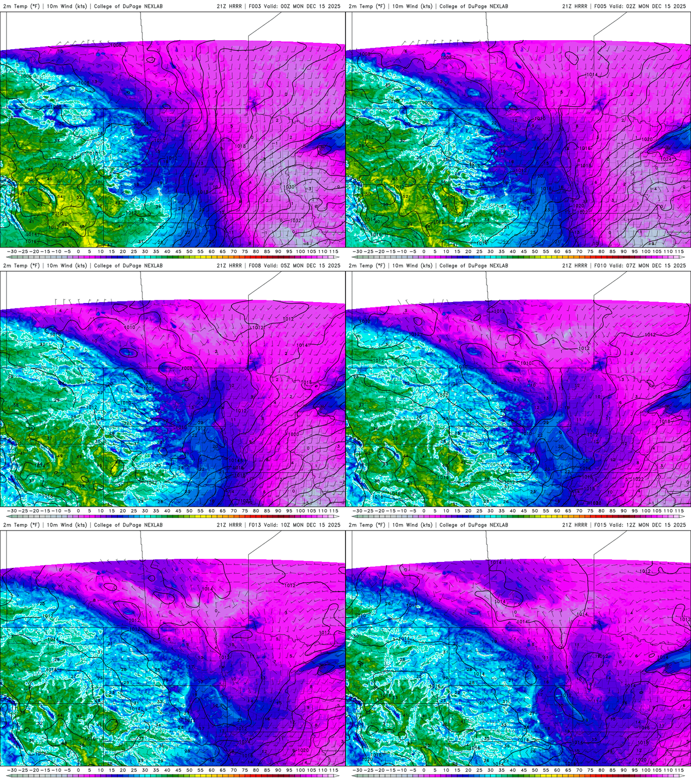
Temperatures will rise instead of fall Sunday night, setting the stage for a more than 50-degree temperature swing by Tuesday. The next weather system is expected to bring rain and snow mainly to northern Minnesota by midweek.
Rising overnight temperatures
Our surge of milder air will continue pushing Sunday evening temperatures upward, leading to a warmer start Monday. Temperatures are expected to reach the low to mid-teens by 6 a.m. Monday.
Monday’s highs will bring the return of 20-degree readings, with some locations in the southwestern corner reaching the low 30s.

Our biggest warmup comes Tuesday, with widespread 40s expected across the state from border to border. International Falls has a record high of 43 for Tuesday, meaning these warmer temperatures could break a few records.

A low-pressure system will skirt the international border late Wednesday into Thursday, bringing rain to the warmer side of the system before quickly transitioning to snow as cooler air moves in behind it. At this time, northern Minnesota is expected to see the brunt of the action from this clipper system.

Temperatures will fall Thursday into the 20s and teens, accompanied by very blustery winds.

Seasonal readings are expected to end the week, with no major systems in the forecast leading into the holiday week.
Turn Up Your Support
MPR News helps you turn down the noise and build shared understanding. Turn up your support for this public resource and keep trusted journalism accessible to all.

