
Temperature whiplash: From frigid to mild
Highs will be near 40 across the state Tuesday
Go Deeper.
Create an account or log in to save stories.
Like this?
Thanks for liking this story! We have added it to a list of your favorite stories.


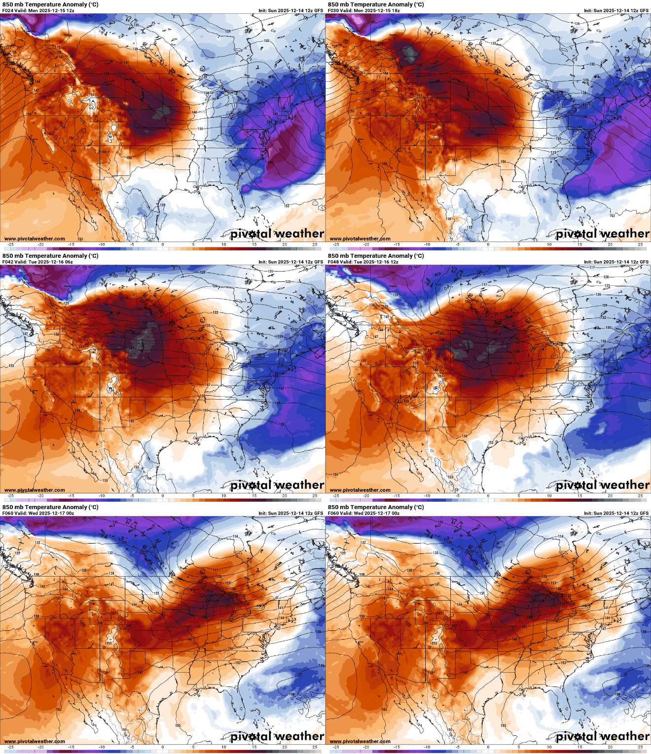
After a frigid weekend we’re in for a big warm up. Highs will warm into the 20s for most Monday and near 40 Tuesday. A system could deliver rain and snow to the state late Wednesday.
A much milder week ahead
The frigid air from the weekend is rapidly moving east and out of the region allowing for temperatures to warm to more seasonable levels Monday. Southwest Minnesota will see highs in the low 30s with 20s for much of the rest of the state. We’ll have sun filtered through occasional high clouds.

It’ll be even warmer Tuesday with highs near or into the low 40s across the state Tuesday afternoon. Those are our first above-normal high temperatures in nearly three weeks.

Overall the pattern is quieter for the next few days with the jet stream riding just north and pulling a milder Pacific air mass with it.
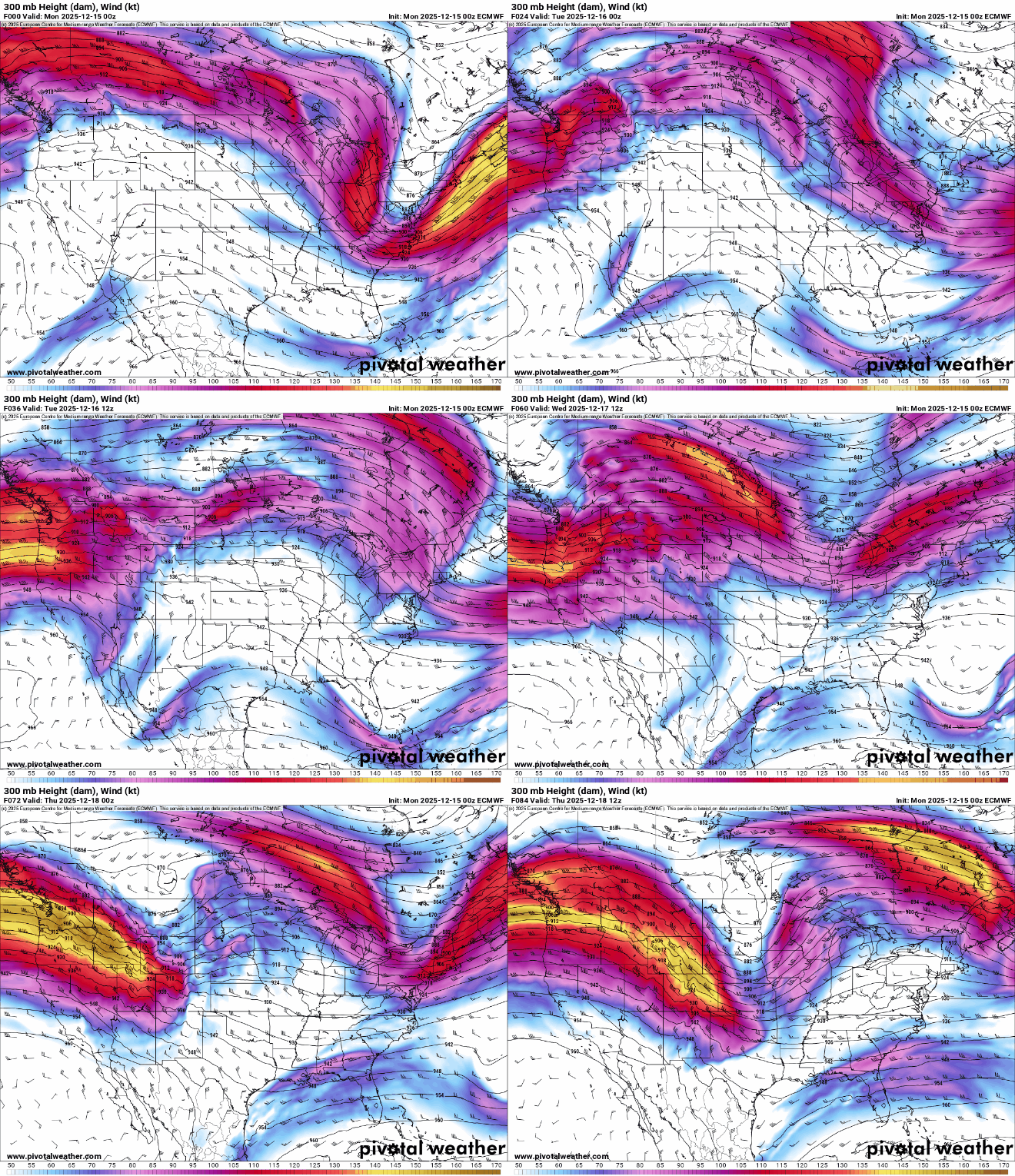
Wednesday will still be mild — mostly in the 30s — but a system will move into Minnesota, delivering rain initially for southern Minnesota and snow north. There could be significant snowfall accumulations for northern Minnesota Wednesday night into Thursday.
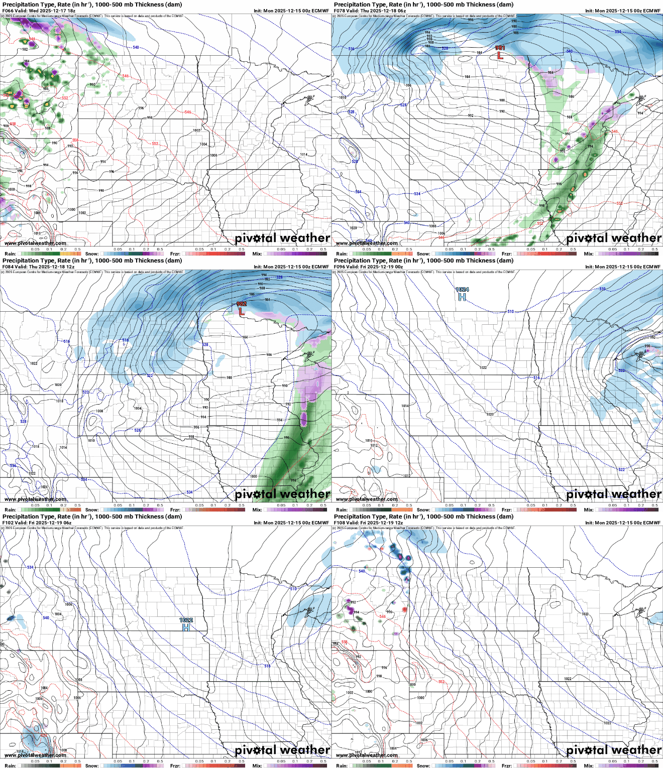
It will be followed by colder air but not the bitter cold we just had. High temperatures will mostly drop back into the 20s and teens, though early Friday morning could start out subzero.
Overall, the “snow belt” line of systems we saw the last few weeks will lift north. Northern Minnesota will be a beneficiary of some of that snowfall, but much of it will be in southern Canada through Christmas.

Turn Up Your Support
MPR News helps you turn down the noise and build shared understanding. Turn up your support for this public resource and keep trusted journalism accessible to all.

