
Chilly start to Friday with light snow chances
Warming trend expected for next week

Go Deeper.
Create an account or log in to save stories.
Like this?
Thanks for liking this story! We have added it to a list of your favorite stories.


A frigid start to Friday brings wind chills in the teens and 20s below zero. Increasing winds ahead of an approaching warm front will lead to light snow chances Friday night.
Cold start to Friday; warming next week
A short arctic blast behind Thursday’s messy system has brought wind chills back into the teens and 20s below zero early Friday. Temperatures will warm through Friday night, with highs reached before midnight.
Winds will increase from the south and southeast ahead of a warm front, leading to areas of blowing snow and occasional reduced visibility.
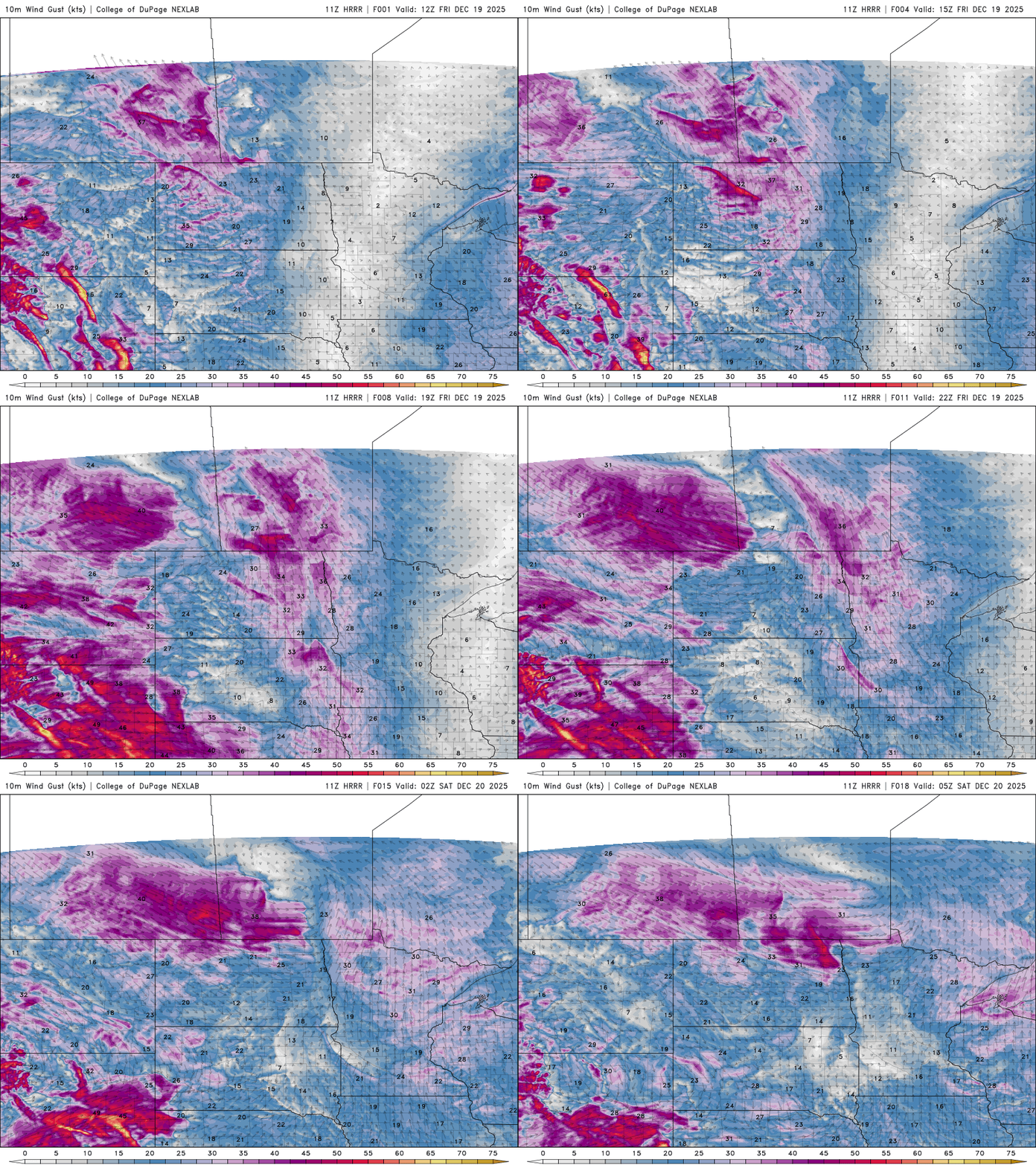
Wind gusts up to 40 mph are possible in northwestern Minnesota, prompting a winter weather advisory from 10 a.m. to 8 p.m. due to blowing snow.
Turn Up Your Support
MPR News helps you turn down the noise and build shared understanding. Turn up your support for this public resource and keep trusted journalism accessible to all.

As the warm front moves through, light snow will begin in northwestern Minnesota Friday afternoon and spread to central and northern Minnesota Friday night into Saturday morning.
Some warmer air aloft could allow for a brief mix of freezing rain or sleet, although only minimal ice accumulation is expected.
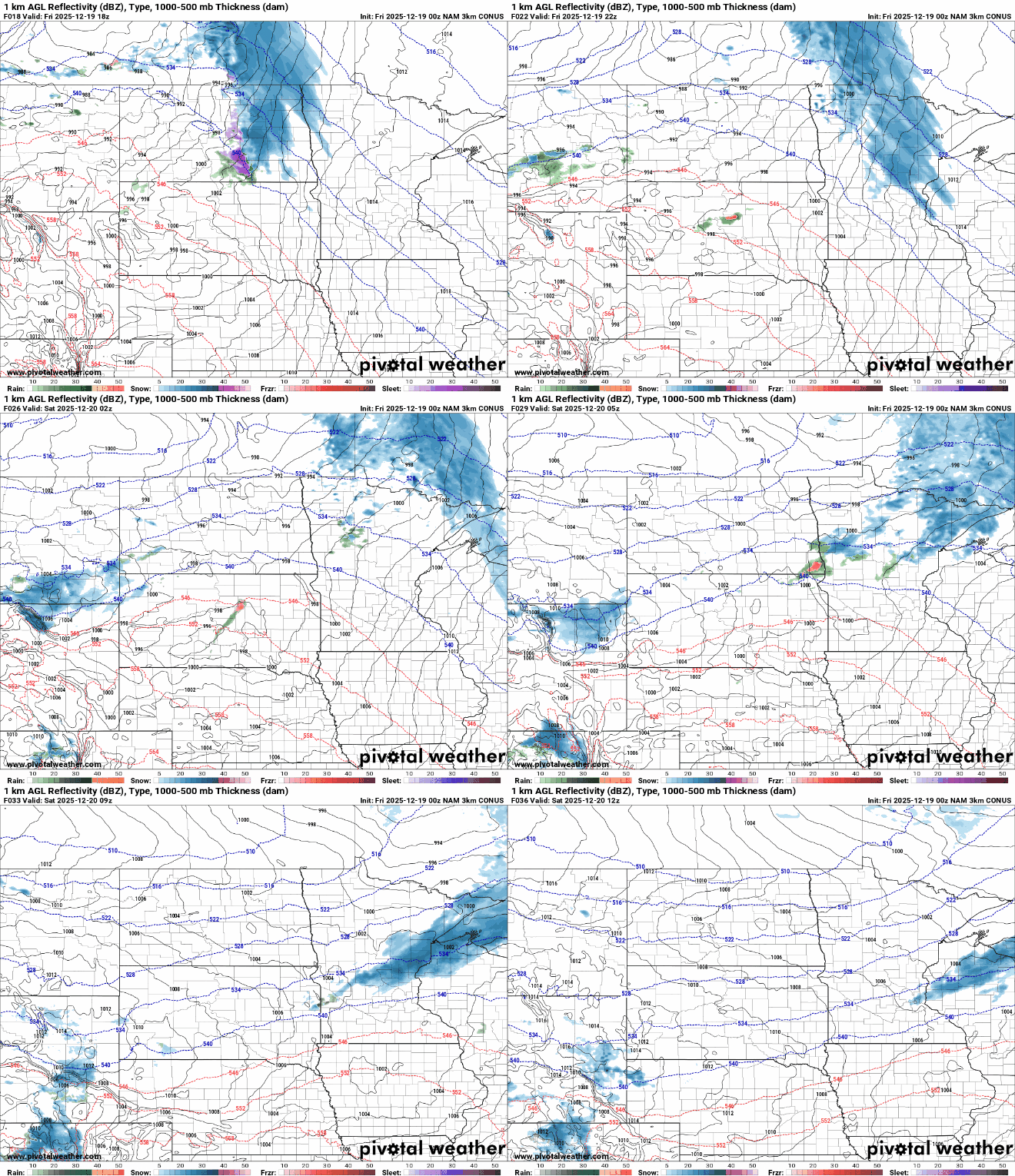
Saturday’s temperatures will peak around midday before dropping sharply behind another arctic blast. Northwest winds will pick up again, creating areas of blowing snow. The cold front will move through dry, bringing sunshine to close out the weekend.

A mild Pacific air mass will move in for the week of Christmas, with the main storm track staying to our north in southern Canada. Highs are expected to reach the 30s and 40s next week, with only a brief cooldown on Tuesday.
No major storm systems are forecast ahead of the holiday.


