
Cold winter solstice morning gives way to a milder pattern for Christmas
Christmas Day highs in the 40s possible
Go Deeper.
Create an account or log in to save stories.
Like this?
Thanks for liking this story! We have added it to a list of your favorite stories.


A cold start marks the winter solstice, but a much milder weather pattern is building for the days ahead. A minor winter system arrives Sunday night with a chance for a wintry mix.
Chilly winter solstice
Chilly temperatures mark the start of the winter solstice, which officially arrives at 10:03 a.m. Daylight will now increase over the next six months. In the Twin Cities, sunrise is at 7:48 a.m. with sunset around 4:34 p.m., making today the shortest day of the year.


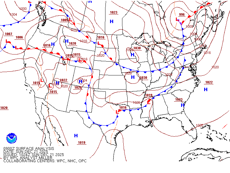
High pressure will bring sunshine for much of Sunday, with high clouds moving in from the west late.
After a chilly start Sunday morning, highs will reach the low teens in the north, the low to mid-20s across central areas, and upper 20s to low 30s, with some spots even approaching the low 40s.
Turn Up Your Support
MPR News helps you turn down the noise and build shared understanding. Turn up your support for this public resource and keep trusted journalism accessible to all.

Our attention turns to our next system moving in for late Sunday night, mainly affecting our Monday morning commute. Temperatures will be warm enough to see rain showers starting in southwestern Minnesota around midnight, but as the precipitation travels east into central and eastern Minnesota, there is a possibility of freezing rain mixing in with snow. A quick half-inch of snow is possible through early Monday morning.
This does not appear to be a high-impact storm overall, but any wintry precipitation ahead of a Monday morning commute can cause slick roads and travel delays.
White Christmas?
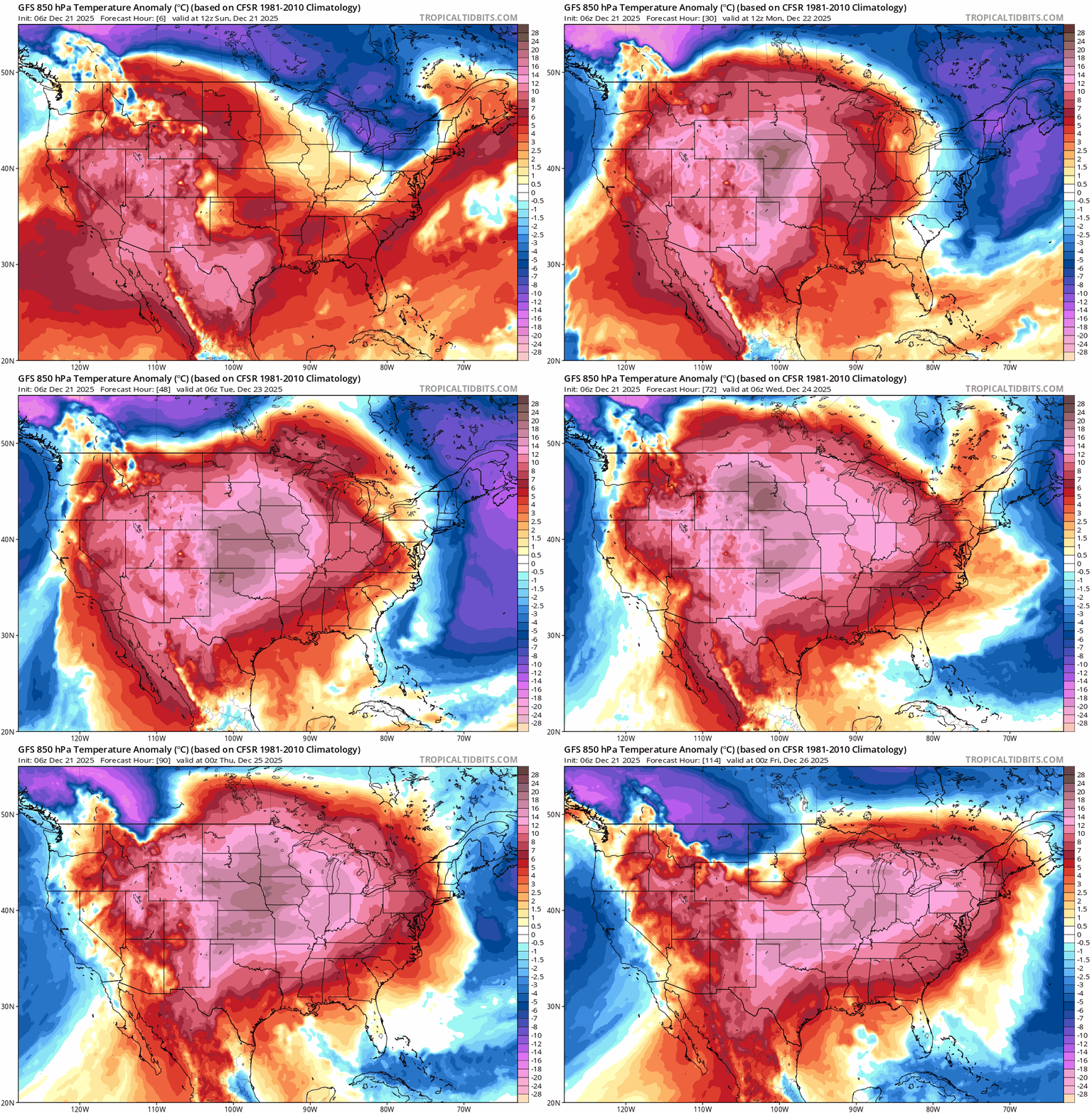
The start of December looked promising, with cold temperatures and a healthy snowpack. The current weather pattern now favors much warmer conditions, which will drastically reduce snow cover heading into Christmas. As a result, the odds of a white Christmas are dwindling, especially across the southern half of the state.
As of Dec. 18, snow depth across the state ranges from more than 8 inches in Pine County to less than 2 inches in southwestern Minnesota. By Christmas morning, snow depth maps are likely to look very different, with temperatures in the 30s, 40s and even some 50s expected in southern Minnesota.

Happy winter solstice, everyone! Longer days are officially on the way. Now we just need a little more snow.

