
Wintry mix possible through Monday morning
Big Christmas thaw in the week ahead

Go Deeper.
Create an account or log in to save stories.
Like this?
Thanks for liking this story! We have added it to a list of your favorite stories.


After a brief period of wintry weather through Monday morning, temperatures will trend much milder leading up to Christmas.
Possible slick Monday morning commute
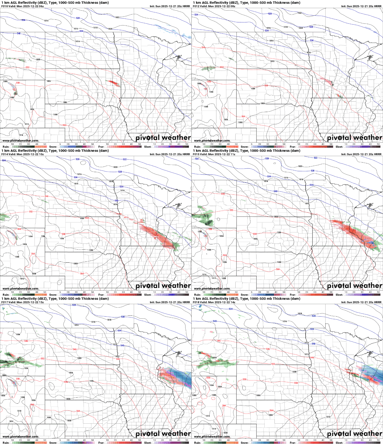
A narrow band of freezing rain, sleet, and snow is expected late Sunday night into the overnight hours, with ice accumulations ranging from a light glaze to a few hundredths of an inch.
Precipitation could begin as early as around midnight in southwestern Minnesota, reaching the metro between 3 and 4 a.m. The wintry threat should clear the state by 7 to 8 a.m.
Turn Up Your Support
MPR News helps you turn down the noise and build shared understanding. Turn up your support for this public resource and keep trusted journalism accessible to all.
Temperatures will drop into the single digits above zero in northern Minnesota, the teens in central areas and mild 20s in the metro and points south.

Warm week ahead for Christmas
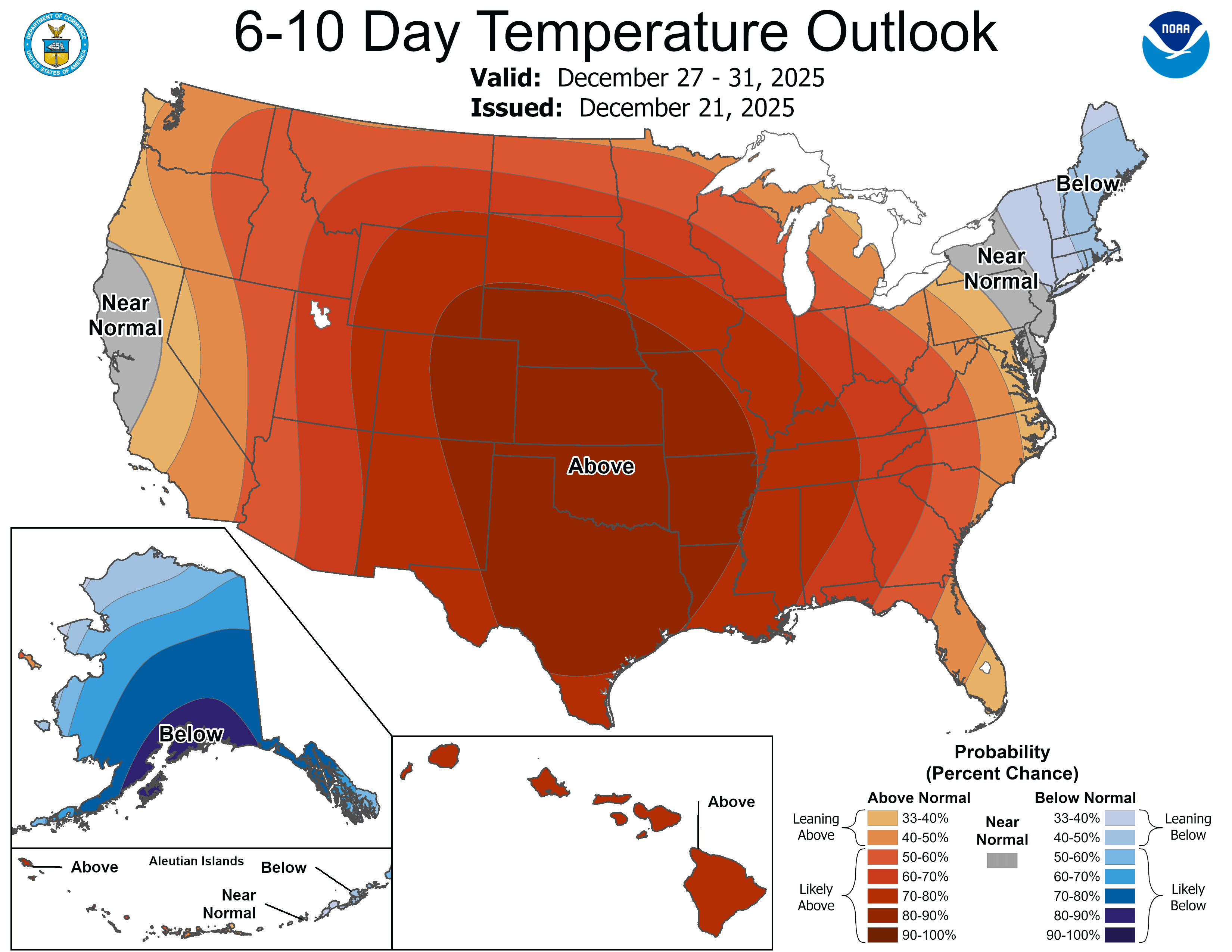
Anomalous warmth becomes more impressive as the holiday week approaches, with temperatures running 10 to 15 degrees above seasonal averages and even some 50s possible.
The current snowpack is expected to dwindle throughout the week, possibly disappearing entirely in southern Minnesota.

