
Melty days ahead with a mix of rain and snow Christmas night

Go Deeper.
Create an account or log in to save stories.
Like this?
Thanks for liking this story! We have added it to a list of your favorite stories.


Tuesday will be a touch cooler than Monday, then we’ll enter a stretch of highs above freezing. Warm air leads to a mix of rain and snow in the region Thursday night.
Mild Christmas week
Overall, we have a mild forecast ahead of us that will chip away at the snow pack, and opportunities for new snow accumulation will be mostly confined to northern Minnesota.

Keep in mind that lake ice is never 100 percent safe, and this is a stretch where people should be particularly cautious.
Temperatures will vary based on where you are as a couple of cold fronts roll through.
Turn Up Your Support
MPR News helps you turn down the noise and build shared understanding. Turn up your support for this public resource and keep trusted journalism accessible to all.
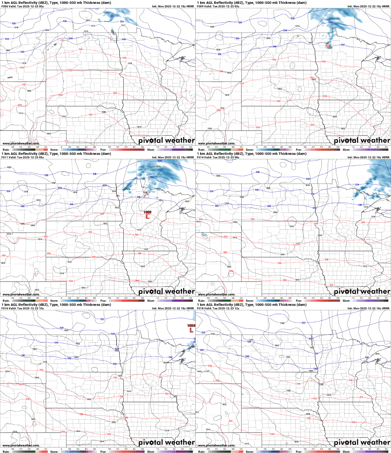
The first of these fronts passes Monday night, bringing a chance for light snow to northern Minnesota and allowing overnight lows to range from a touch below zero in Roseau to near 30 degrees in Rochester.

Highs Tuesday will range from single digits to mid-30s, looking from Minnesota's northwest corner to the southeast corner. In The Twin Cities, Tuesday will be about 10 degrees colder than Monday.
After that, highs will be above freezing and lows will stay above 20 each day through Saturday.

The warmest day is Christmas, with highs ranging from near 50 in southwestern Minnesota to 20s in northwestern Minnesota and around 40 in the Twin Cities.
It's worth mentioning that Thursday will also be rather gray, and low cloud cover and fog could keep us a little cooler than currently expected.

This above-average stretch looks to end with a cold front passing Saturday night.
There is a system we're keeping an eye on that will pass Thursday night, but it will still be warm enough to complicate precipitation type.
As of now, rain would be dominant in the Twin Cities, turning to a potentially icy mix moving north, and the best chance of snow accumulation is near and north of the Iron Range.
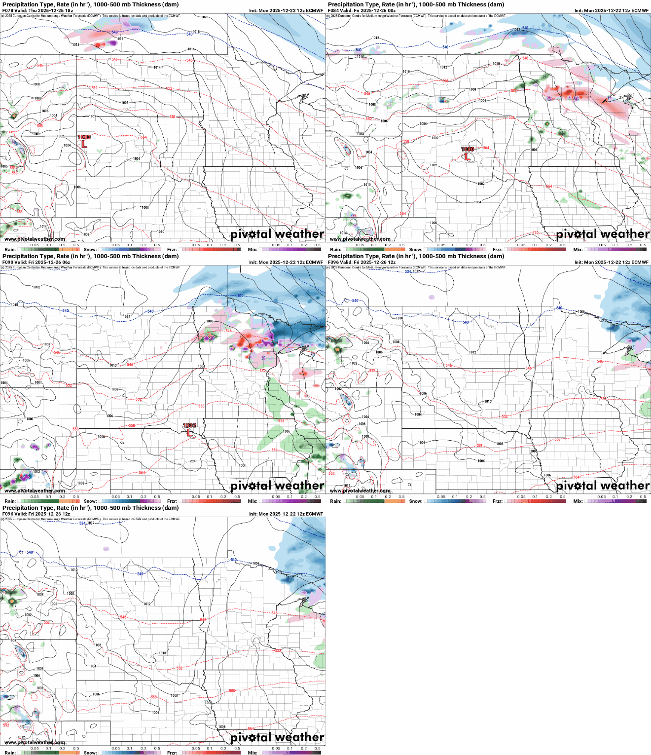
That round should exit quickly on Friday. Another chance for snow is possible Saturday into Sunday, once again keeping best chances in northern communities.

