Mild air moves back in for the week ahead
Temperatures will average 10 to 20 degrees above normal

Go Deeper.
Create an account or log in to save stories.
Like this?
Thanks for liking this story! We have added it to a list of your favorite stories.


Watch for some potential slick spots early Monday. Mild air moves in and remains through the week. A wintry mix of precipitation is possible Thursday night into Friday.
Mild air moves back into Minnesota and sticks around through the week
Many areas of central and southern Minnesota into western Wisconsin saw an icy glaze in the very early morning hours Monday as warmer air pushes back into Minnesota. This scenario plays out whenever much warmer air moves in over our colder, snow covered landscape.
Temperatures early this morning were about 40 degrees aloft at 1,500 feet above the ground while surface temperatures were just below freezing.

It’ll be mild Monday with hazy sunshine through high clouds. Afternoon highs will range from the low 40s in southwestern Minnesota to the 20s north.
Turn Up Your Support
MPR News helps you turn down the noise and build shared understanding. Turn up your support for this public resource and keep trusted journalism accessible to all.

There will be some scattered light snow showers in northern Minnesota late Monday into Monday night.
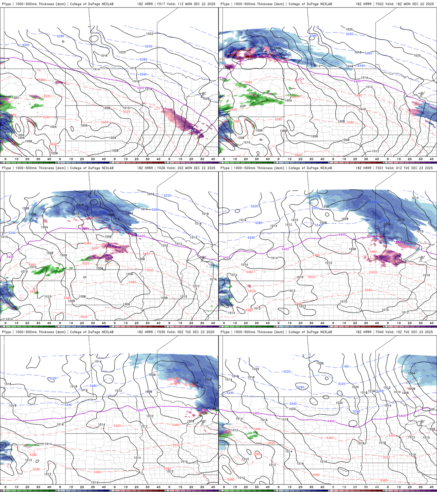
A weak cool front moves through Monday night dropping temperatures slightly for Tuesday, but there will be a big temperature contrast from northwestern Minnesota to southern Minnesota with single digits in the northwest corner to 30s south.

Temperatures will continue to be mild through the week with mostly 30s in southern Minnesota and 20s north.
Christmas Day could be the peak of the mild stretch with highs near 50 in southwestern Minnesota with 40s across southern Minnesota. Low clouds and fog could keep temperatures a little cooler.

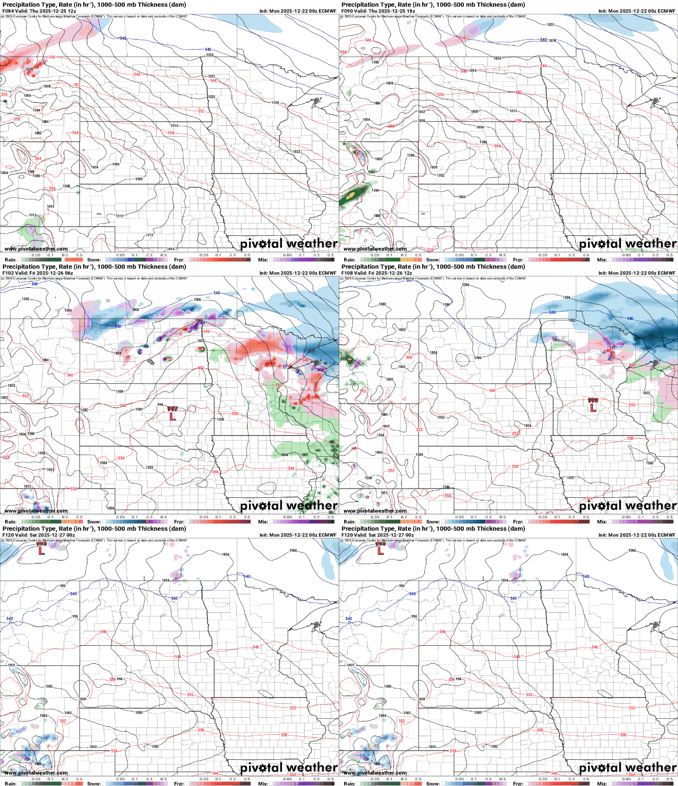
We’ll be monitoring a potential system that could bring a wintry mix of rain and snow Thursday night into Friday. The best likelihood for snowfall will be confined to northeastern Minnesota where it will remain cold enough to be mainly snow.