
Cooler overnight but back above freezing Wednesday
Wintry mix possible Thursday night and Saturday

Go Deeper.
Create an account or log in to save stories.
Like this?
Thanks for liking this story! We have added it to a list of your favorite stories.


It’ll be cooler overnight Tuesday into Wednesday, especially to the north. Southern Minnesota climbs back above freezing for highs Wednesday. A wintry mix of precipitation is possible late Thursday.
Cooler overnight, mild days through Saturday
Colder air has grazed Minnesota and will lead to a cooler overnight, especially in far northern Minnesota where some spots will drop below zero. Southern Minnesota will be mostly in the 20s.

Afternoon highs Wednesday climb back above freezing for southern Minnesota and will do so the next several days through Saturday.
Christmas Day will be mild as well with highs mostly in the 30s for southern Minnesota. Southwestern Minnesota will see 40s where the ground is snow-free.

A wintry mix of precipitation develops late Thursday with our next system. Southern Minnesota will likely see rain or freezing rain showers while northeastern Minnesota sees a wintry mix of freezing precipitation turning to snow.
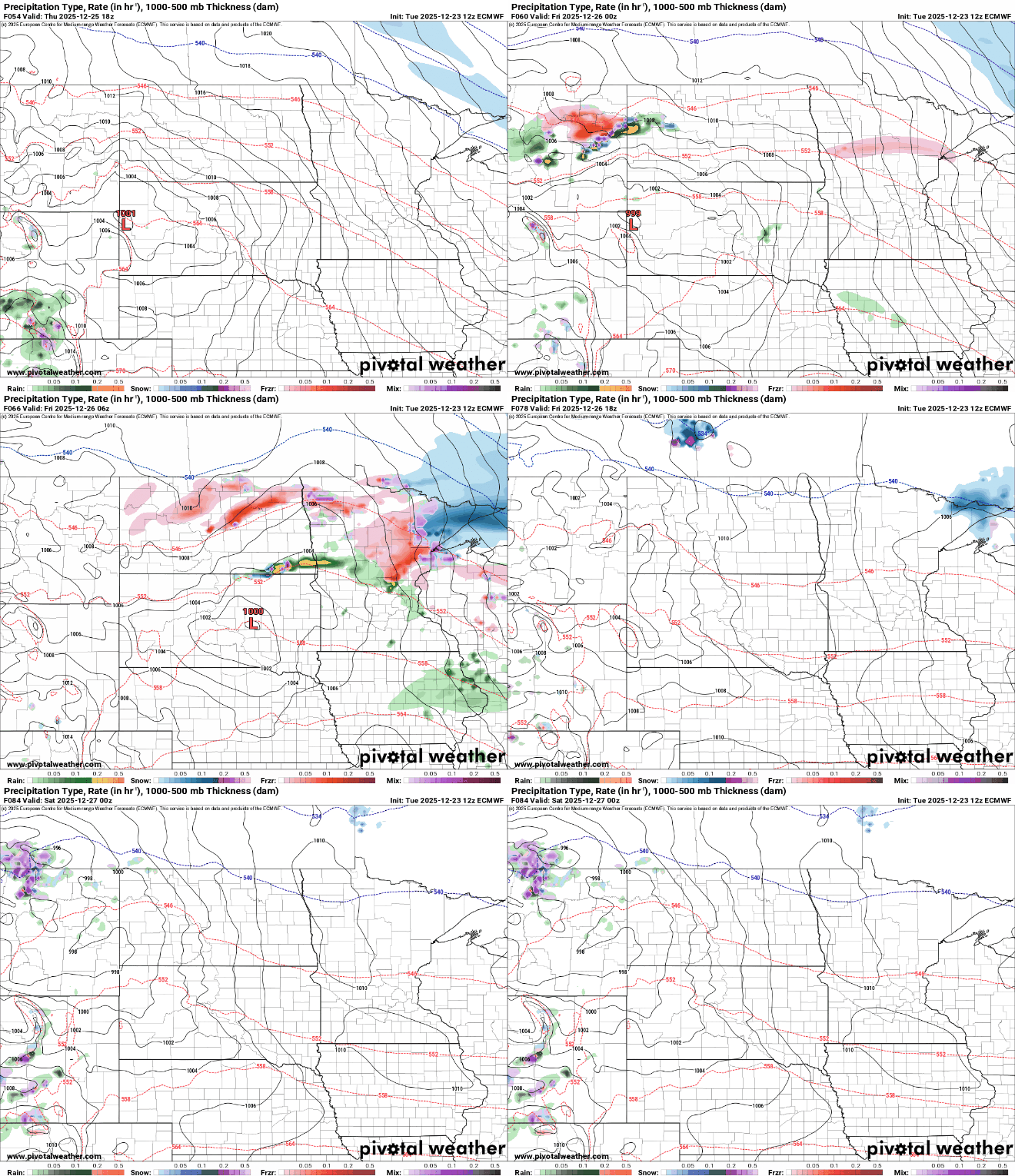
The best chance for any significant snowfall will be deep in the Arrowhead where several inches could fall.

Another system Saturday could bring more rain and snow showers followed by a couple colder days Sunday and Monday.
Turn Up Your Support
MPR News helps you turn down the noise and build shared understanding. Turn up your support for this public resource and keep trusted journalism accessible to all.

