
More above normal temperatures and a wintry mix Thursday night
Colder air moves in briefly for Sunday and Monday
Go Deeper.
Create an account or log in to save stories.
Like this?
Thanks for liking this story! We have added it to a list of your favorite stories.


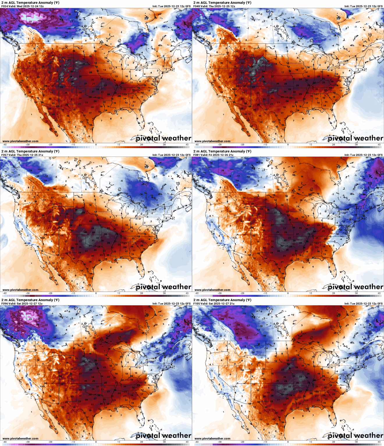
We’re back to above freezing highs for southern Minnesota today through Saturday. A couple systems could bring wintry mix of precipitation Thursday night and Saturday.
More melting snow today and tomorrow with a wintry mix possible late Thursday
After a briefly cooler day yesterday, temperatures are climbing back above freezing for the southern half of the state today. Southwest Minnesota, with bare ground, could reach the low to mid-40s. We’ll see occasional hazy sun filtered through mid and high clouds.
Low clouds and fog are filling in across far southern Minnesota and will slowly move north over the next 24 hours as warmer, more moist air marches north. Patchy areas of fog and freezing drizzle will be possible in the overnights and early mornings tonight and tomorrow nights.

We’ll barely pull off a White Christmas in the Twin Cities. We currently have 2 inches of snow depth officially and will likely lose another inch between today and tomorrow. A ‘White Christmas’ is defined by 1 inch or more of snow cover.
Turn Up Your Support
MPR News helps you turn down the noise and build shared understanding. Turn up your support for this public resource and keep trusted journalism accessible to all.

Temperatures for Christmas Day will be similar with mostly 30s south and 20s north. Clouds will be on the increase ahead of the next weather system.

We’re keeping our eyes on the next round of weather which will develop rain showers potentially late Thursday for southern Minnesota with a wintry mix of freezing rain, sleet and snow for central and northern Minnesota turning to mostly snow Thursday night into early Friday.
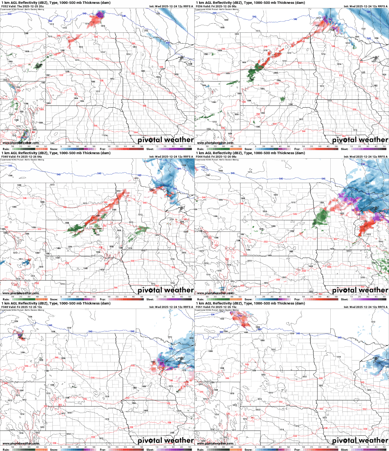
Northeast Minnesota, especially the Arrowhead, is favored for snowfall where several inches could fall into Friday.

Unfortunately, before it turns to all snow, there could be some ice accumulation due to freezing rain Thursday evening and early Thursday night.

Saturday will continue to be rather mild and that means the next clipper system will likely deliver a few rain and snow showers again to the region followed by a blast of colder air for Sunday and Monday. Highs will be mostly in the teens south and single digits north both days.

Overall next week looks cooler, in the teens and 20s versus the 30s of this week. We’ll also be potentially in the ‘sweet spot’ again with the jet stream nearby, which is the main track for clipper systems. Snow will be possible Tuesday into Wednesday.


