
Winter storm winds down early Monday, bitter cold takes over
Blowing and drifting snow could cause sudden white-out conditions

Go Deeper.
Create an account or log in to save stories.
Like this?
Thanks for liking this story! We have added it to a list of your favorite stories.


A powerful winter storm continues to grip the region, bringing dangerous travel conditions, strong winds and heavy snow.
Dangerous winds and blowing snow continue Sunday night
The latest winter storm will continue to impact the region Sunday night into early Monday morning as powerful winds combine with falling and fallen snow.
Peak wind gusts have already reached 50 to 60 mph at several locations, including 60 mph in Morris, 53 mph in St. James and 51 mph in Fairmont. The strong winds are producing widespread blowing and drifting snow, resulting in very poor visibility across many areas.
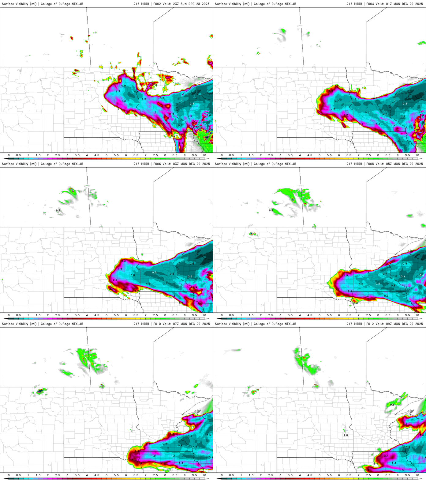
Road conditions are extremely poor across southern Minnesota, prompting officials to advise against travel. The Minnesota Department of Transportation has closed sections of Interstate 94 due to the dangerous conditions.
Turn Up Your Support
MPR News helps you turn down the noise and build shared understanding. Turn up your support for this public resource and keep trusted journalism accessible to all.
Steadier snow is expected to continue through Sunday evening before ending from northwest to southeast between about 10 p.m. and 3 a.m.
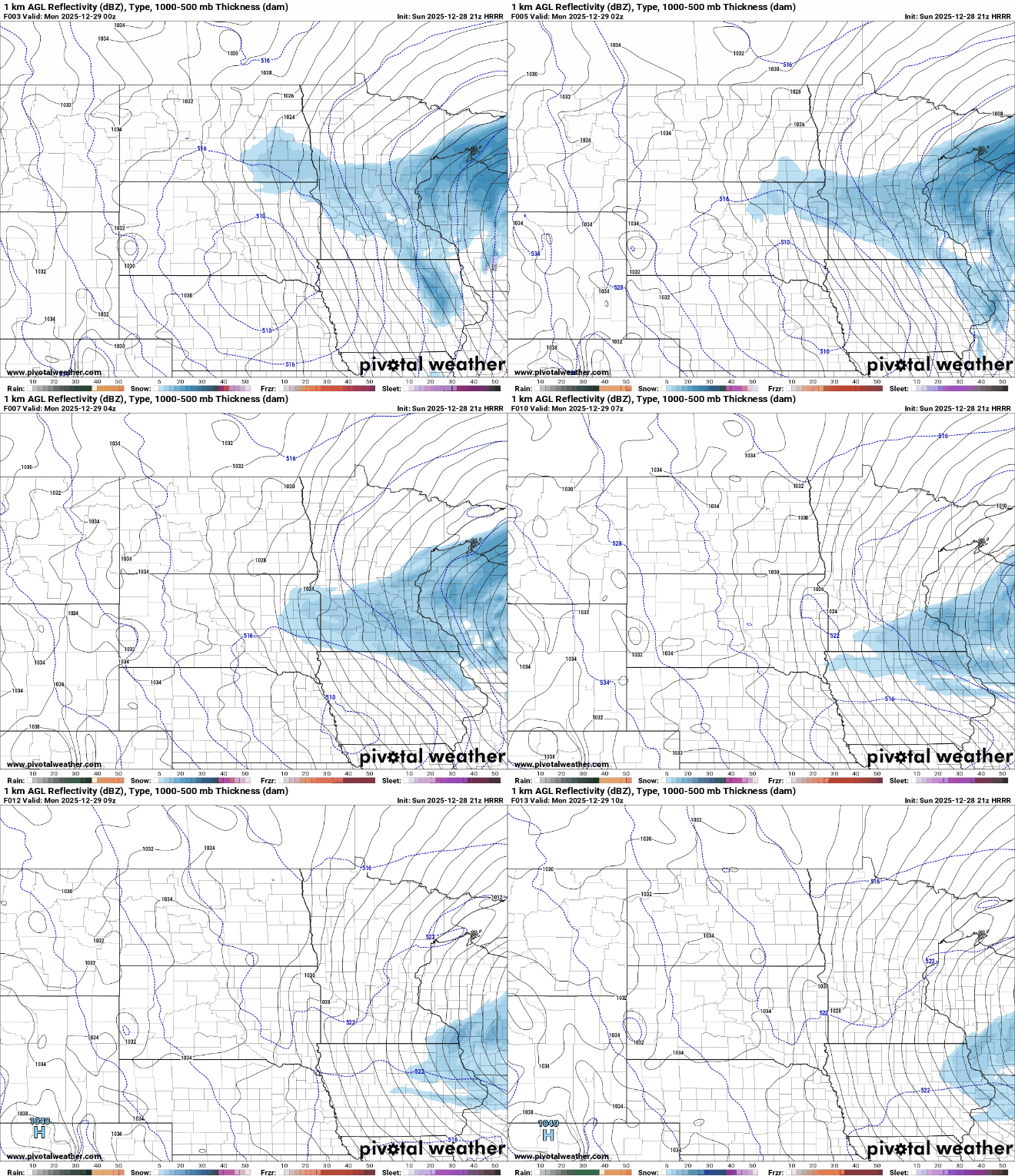
Additional snowfall of 4 to 6 inches is forecast across the region, with the highest totals expected in eastern Minnesota and western Wisconsin.

Winds will begin to ease Monday, shifting the focus to the bitter cold behind the storm. Temperatures are expected to struggle, with highs only in the single digits to low teens.

High pressure moving across the Plains will allow temperatures to drop below zero Monday evening before slowly rising overnight.
Additional chances for light snow are possible Tuesday and Wednesday with passing clippers, but the overall pattern remains cold and below normal into next week.

