
Warmer with more snow showers on the way Tuesday
Colder air and more snow showers are possible Wednesday

Go Deeper.
Create an account or log in to save stories.
Like this?
Thanks for liking this story! We have added it to a list of your favorite stories.


It’ll be briefly milder Tuesday as the next clipper system moves in. We’ll have a quick shot of snow showers both Tuesday and Wednesday followed by more cold for the New Year.
We’re in line for two more clipper systems and more cold air
Scattered light snow showers are already falling across much of central and northern Minnesota and will continue to track east and southeast through the morning and midday. Most snow will fall in northern Minnesota with this system.
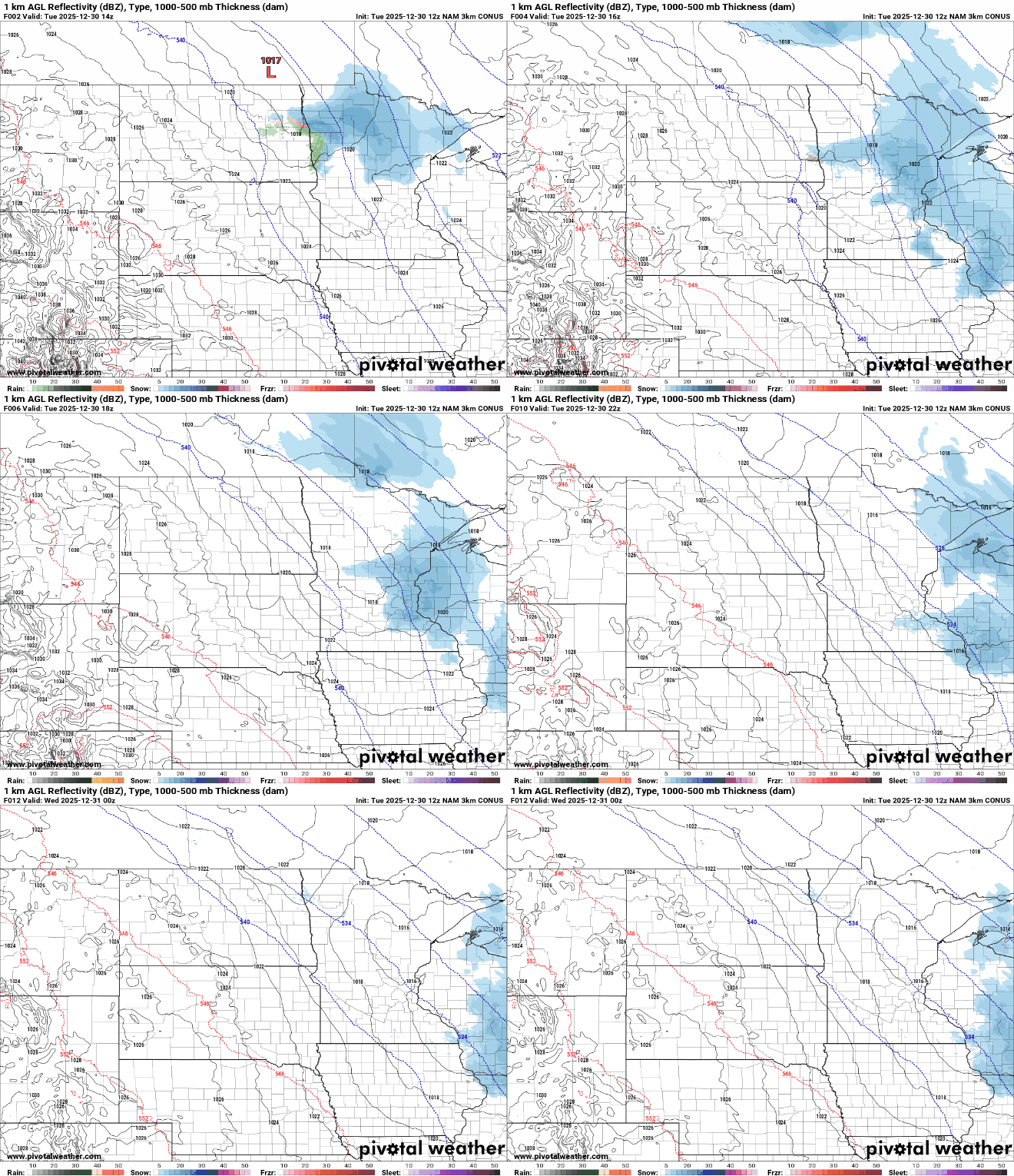
Up to 1 or 2 inches of snow is possible in northeast Minnesota with just a coating in the Twin Cities Tuesday.
Warmer air is moving in, at least briefly, with the incoming clipper system. Highs will be in the 30s for much of southern Minnesota with 20s and teens north mostly.
Turn Up Your Support
MPR News helps you turn down the noise and build shared understanding. Turn up your support for this public resource and keep trusted journalism accessible to all.

Another clipper system moves in quickly Wednesday, bringing more light snow showers with a bit of a more southerly track this time across central Minnesota. Snow will end by early to mid afternoon Wednesday.
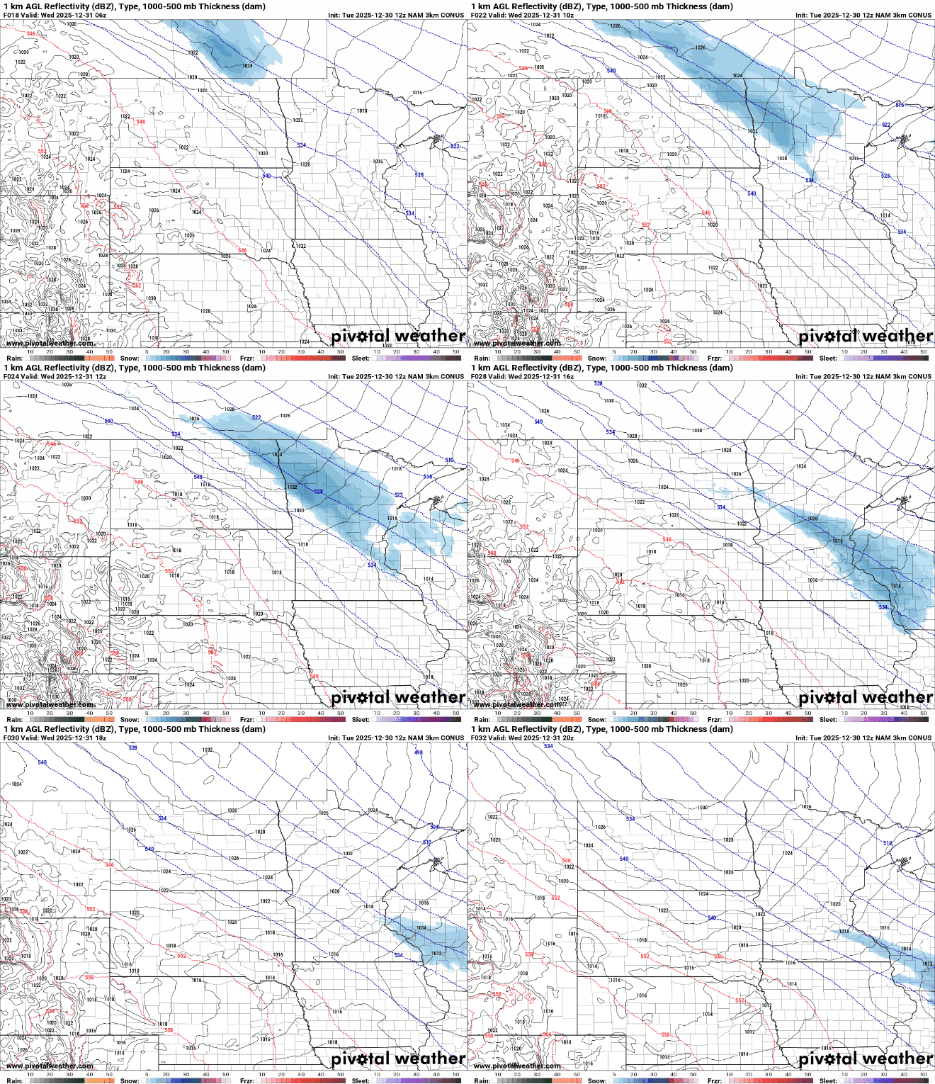
Areas from Moorhead through St. Cloud and the Twin Cities could see up to 1 inch of snowfall with that one.

Colder air is also moving in Wednesday with that system. High temperatures will be near 20-degrees in southern Minnesota and fall through the teens while northern Minnesota remains in the single digits and subzero much of the day.
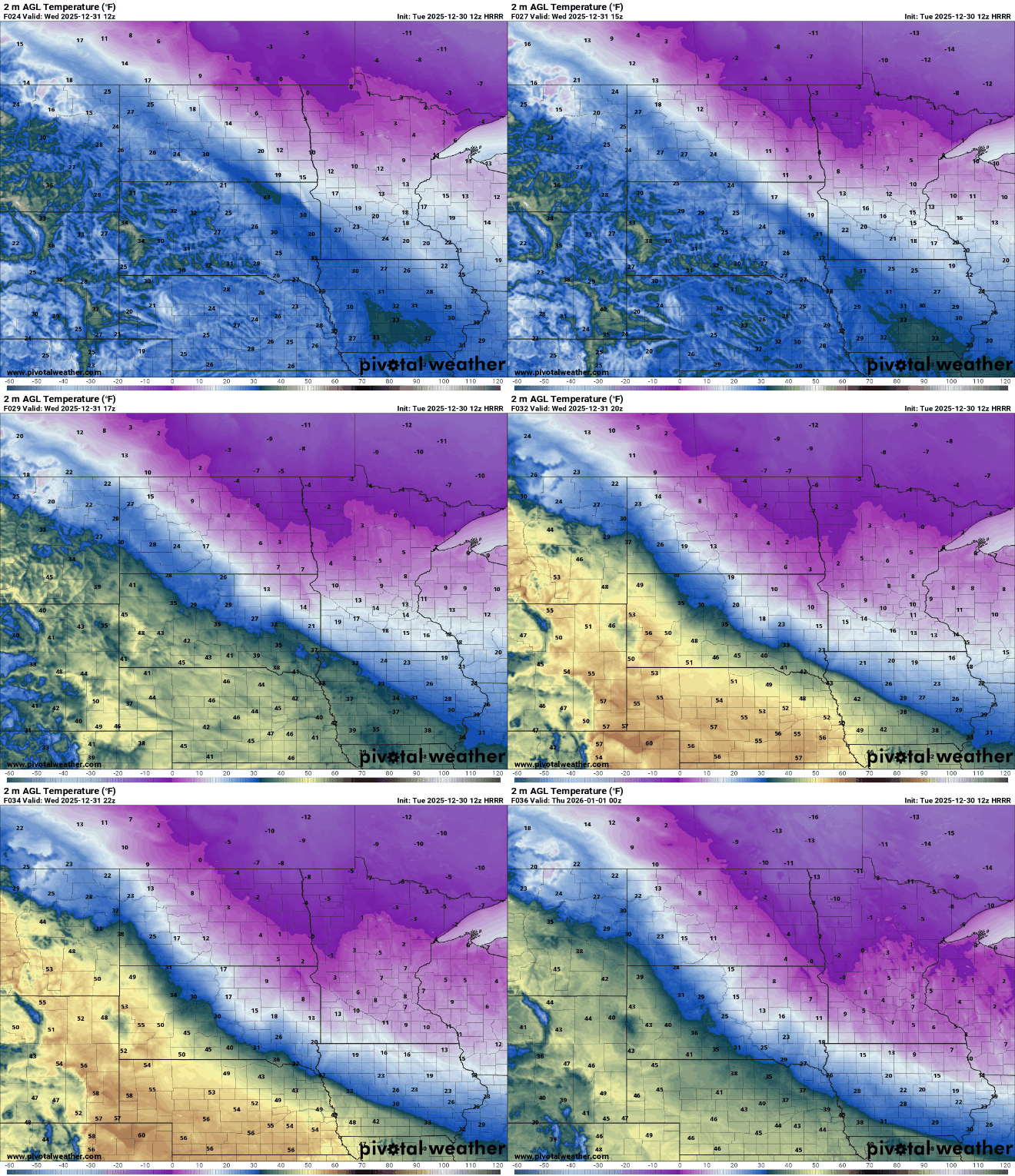
Temperatures by midnight of New Year’s Eve will be pretty cold for those that will be out and about. The Twin Cities and southern Minnesota will be just above zero while northern Minnesota will be as cold as in the teens below zero far north. Wind chill values will be subzero with even 20s below zero wind chills in far northern Minnesota.

It will be make for a cold start to 2026. Highs Thursday will be in the teens and single digits but we should also see some sunshine.

Temps modify, back to seasonable levels for the weekend with highs mostly in the 20s and teens. We could see a little light snow again Sunday. Overall next week looks to be pretty close to normal with highs again, mostly in the 20s and teens.

