
More snow showers Wednesday with falling temperatures
Temperatures will be back to normal by the weekend

Go Deeper.
Create an account or log in to save stories.
Like this?
Thanks for liking this story! We have added it to a list of your favorite stories.


Our latest clipper system brings more snow showers Wednesday along with colder air. It’ll be a cold start to the New Year, but temperatures will be back to seasonable levels by the weekend.
More snow showers Wednesday and falling temperatures as cold air moves in
The latest clipper system is diving across Minnesota and bringing another shot of snow showers across central and southern Minnesota. The snow showers should largely wrap up by early Wednesday afternoon.
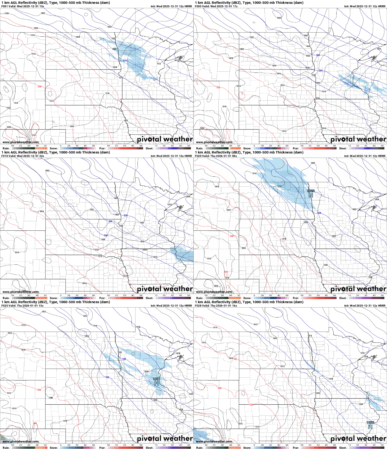
Snowfall will be fairly light with a coating to up to 1 inch for some spots in central Minnesota and western Wisconsin.
A winter weather advisory is posted for northeast Minnesota through midday due to light snow and light freezing drizzle creating potential slick areas.
Turn Up Your Support
MPR News helps you turn down the noise and build shared understanding. Turn up your support for this public resource and keep trusted journalism accessible to all.

The high temperature of the day is already behind us as temperatures will drop through the day from the 30s and 20s into the teens in southern Minnesota and from the single digits above zero to subzero north.
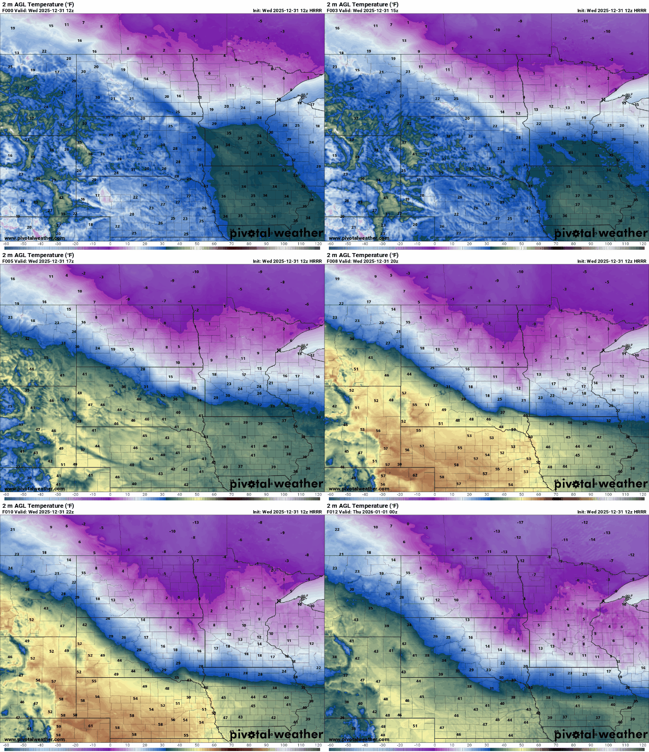
Overnight lows will be subzero for most of central and northern Minnesota, making for a cold transition from 2025 to 2026.

Highs Thursday for New Year’s Day will be in the teens and single digits mostly, though far southwest Minnesota will see some low 20s. Central and northern Minnesota could see yet another shot of some light snow showers, too.

Temperatures will gradually warm up Friday into the weekend to more seasonable readings, mostly in the 20s and teens. Southern Minnesota could even see 30 degrees by Sunday with the far southwest corner of the state potentially near a balmy 40 degrees.

