
New Year’s snow falls like confetti across the region
Below-normal temperatures hold on into the weekend

Go Deeper.
Create an account or log in to save stories.
Like this?
Thanks for liking this story! We have added it to a list of your favorite stories.


2026 begins the same way 2025 ended: cold, cloudy, and snowy at times. Expect light snow for New Year’s Day, more cold through the weekend, and a gradual warm-up as we head deeper into the new year.
Snowy start to 2026
Happy New Year. As the calendar flips to 2026, the weather pattern looks very familiar. Just like the final days of 2025, the new year is starting with another round of light snow moving across eastern North Dakota and northwest Minnesota.

The band of snow will move from northwest to southeast through early Thursday afternoon. Most areas will see occasional flakes and minor accumulation.
Similar to recent days, there is the potential for a narrow, localized band that could produce 1 to 2 inches of snow. The best chance for higher totals will be northeast of Interstate 94 across eastern Minnesota into western Wisconsin, including parts of the northern and northeastern metro.
Turn Up Your Support
MPR News helps you turn down the noise and build shared understanding. Turn up your support for this public resource and keep trusted journalism accessible to all.
New Year’s Day temperatures will remain well below normal across the region. Highs will range from the single digits across northern Minnesota to the low and mid-teens across central areas, with lower 20s limited to far southern Minnesota and southwest Minnesota.

Temperatures will remain below normal Friday and Saturday as northwesterly flow persists. Highs on Friday will stay in the single digits and teens, with slightly warmer conditions on Saturday as low 20s return to the forecast.

Another weak clipper system may move through late Friday night into Saturday morning, primarily impacting northern Minnesota. Snow chances with this system appear limited, but another low-impact light snow event is possible, especially north of I-94.
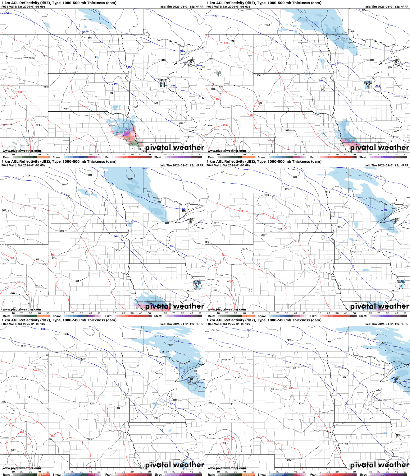
Heading into the second half of the weekend, upper-level winds are expected to become more westerly. A disturbance may bring additional precipitation chances Sunday night into Monday, though uncertainty remains regarding precipitation type.
Mild temperatures next week
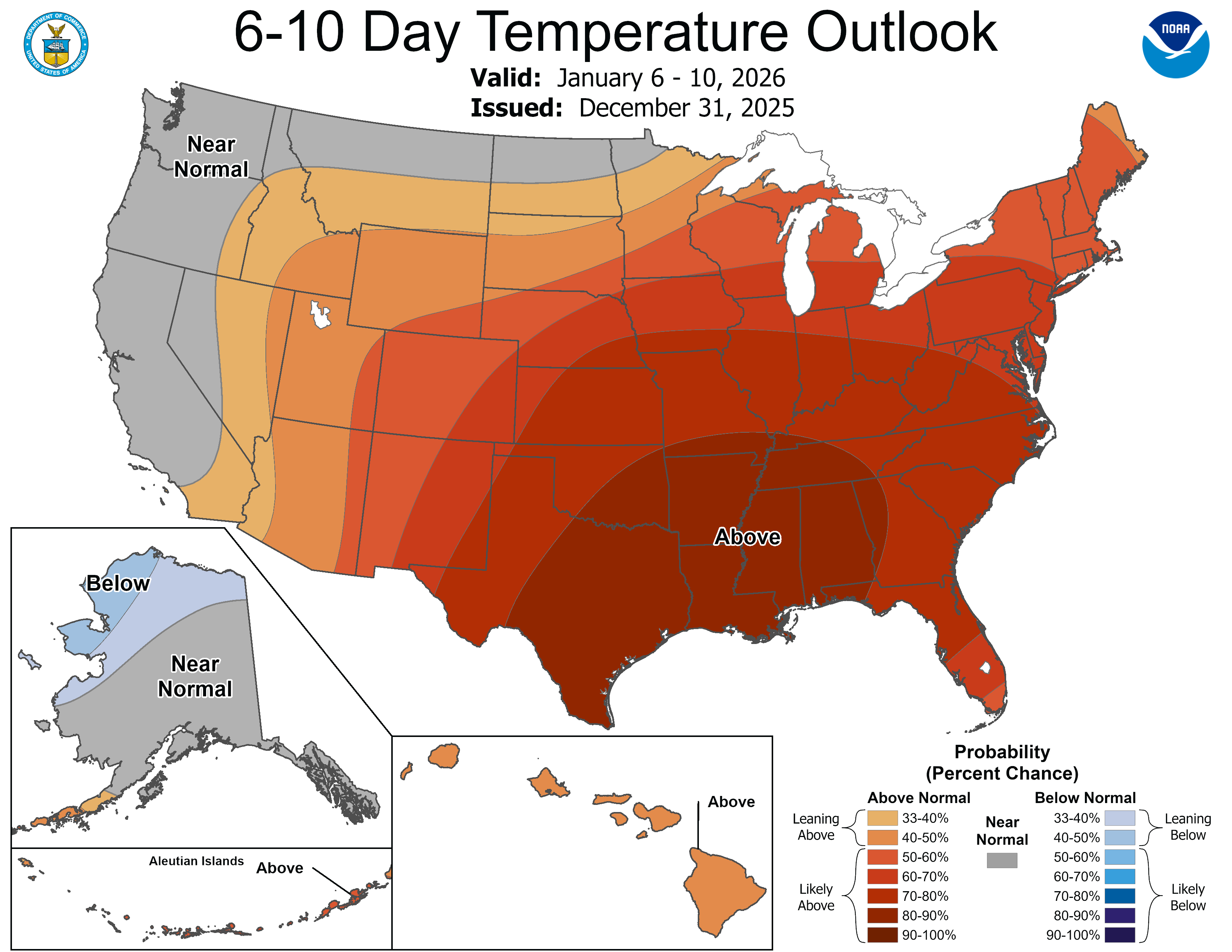
Temperatures are expected to climb to above normal levels, with highs reaching the low to mid-30s for much of next week, a noticeable change from the cold start to the new year.
Cheers to 2026!

