
Chilly Friday but milder next week with more precipitation chances
More light snow showers are possible Saturday
Go Deeper.
Create an account or log in to save stories.
Like this?
Thanks for liking this story! We have added it to a list of your favorite stories.


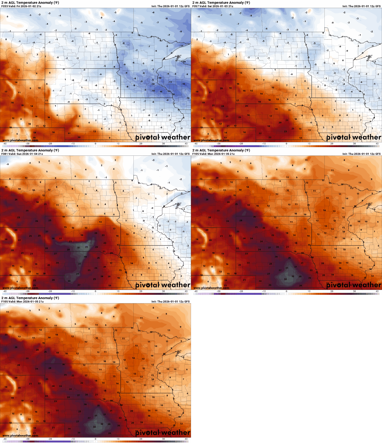
Temperatures remain below normal Friday and Saturday. More light snow is possible Saturday. Milder air moves in early next week with a few more precipitation chances.
Colder air departs this weekend with more chances of precipitation
It’s a cold start early Friday and it will be another below-normal day with highs mostly in the teens. We should see brighter conditions with partly cloudy skies and dry weather for most after three consecutive days of measurable, light snowfall.

Another fast-moving clipper system will deliver some light snow showers to mainly northern Minnesota Friday night into Saturday. We’ll see a few light snow showers in central and southern Minnesota.
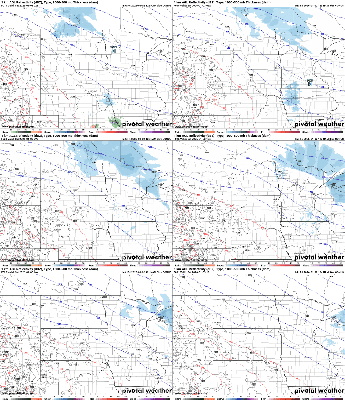
Snowfall will be less than 1 inch even in northern Minnesota where the light snow showers will be more numerous.
Turn Up Your Support
MPR News helps you turn down the noise and build shared understanding. Turn up your support for this public resource and keep trusted journalism accessible to all.

Many areas in eastern and northern Minnesota have seen these light snows the past several days add up to 1 inch or more. Parts of northeastern and northwestern Minnesota have seen 2 to 4 inches over the last three days.

The pattern remains active into early next week with a couple more systems moving through, but with the arrival of milder air they won’t necessarily be all snow.
The next system delivers snow to northern Minnesota where several inches are possible along the North Shore with a potential wintry mix south Sunday. Southern Minnesota could see a mix of rain and snow showers Tuesday.
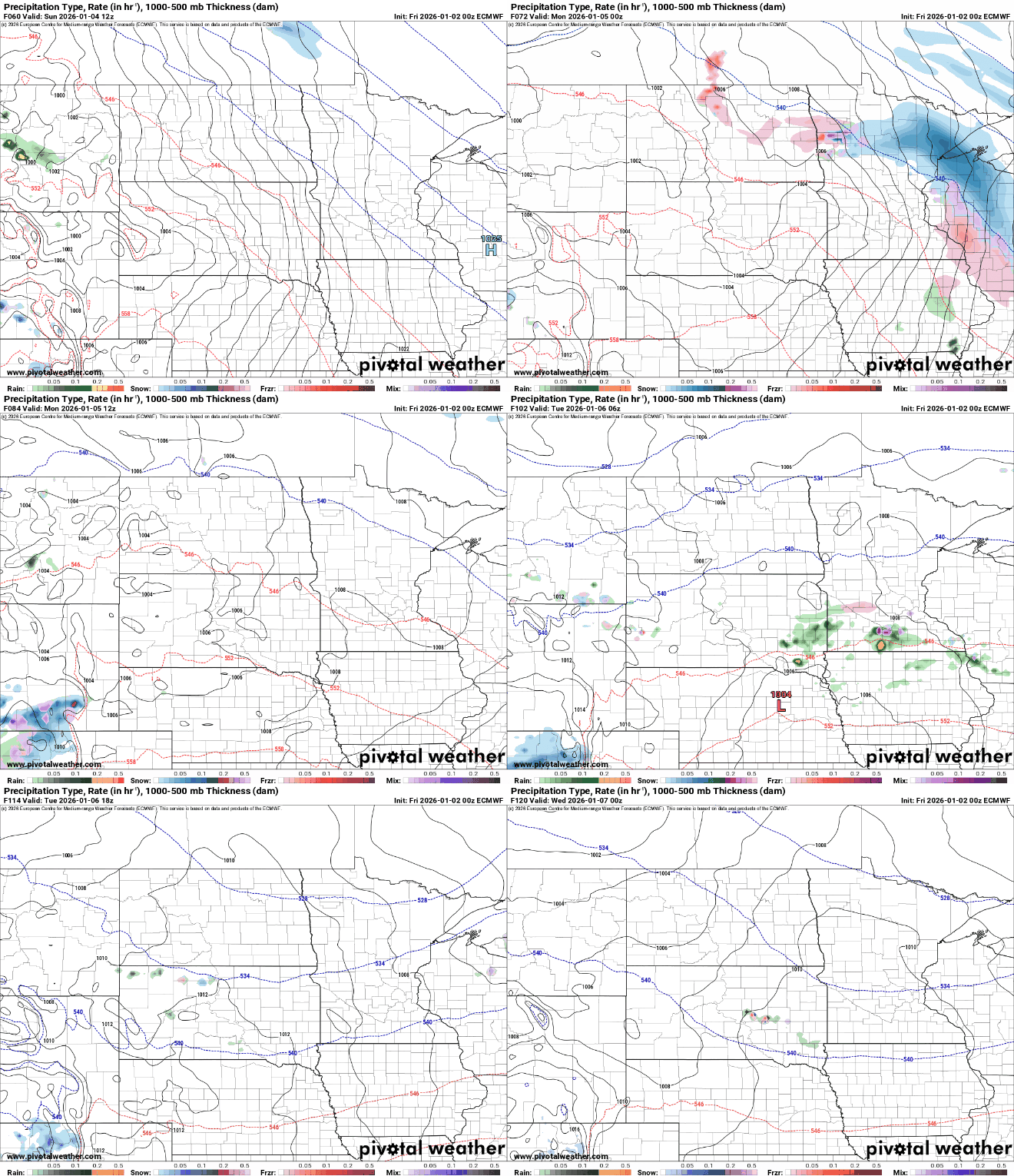
Confidence in the precipitation type forecast is low, but some models are hinting at possible ice accumulation in central and southern Minnesota with mostly snow north.

Temperatures by early next week will be back above freezing in southern Minnesota and remain there much of the week.

Overall, the pattern is milder next week but still active. In addition to the Sunday and Tuesday systems, we could see a wintry mix develop Thursday.


