Cloudy Saturday as flurries end early; wintry mix expected Sunday
Gradual warming trend into next week

Go Deeper.
Create an account or log in to save stories.
Like this?
Thanks for liking this story! We have added it to a list of your favorite stories.


Skies remain mostly cloudy Saturday, with flurries ending early. Temperatures stay slightly below average ahead of a wintry mix expected Sunday.
Quiet Saturday followed by a wintry mix mess on Sunday
High pressure centered over central Minnesota will keep winds light Saturday as it slowly shifts east. Any early flurry activity will end by late morning, with highs reaching around 20 degrees in the metro, teens in northern Minnesota and upper 20s to near 30 in southwestern Minnesota.

Conditions begin to change late Saturday night into early Sunday as warmer air and increasing moisture move into the region. A developing storm system approaches the Minnesota–Dakotas border by midday Sunday, bringing a chance for precipitation from late morning into the afternoon.
Turn Up Your Support
MPR News helps you turn down the noise and build shared understanding. Turn up your support for this public resource and keep trusted journalism accessible to all.
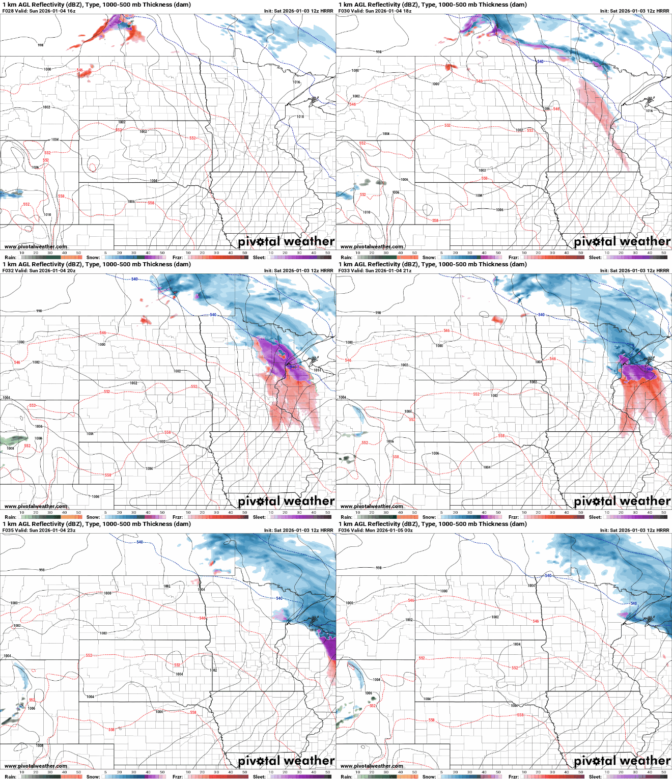
The primary concern with this system will be the precipitation type. Temperatures near the surface combined with warmer air aloft point to a mix of freezing rain and sleet across much of Minnesota, while snow is more likely in northeastern Minnesota and into western Wisconsin. Snow totals of 2 to 4 inches are possible along the North Shore, with around 2 inches expected for Ely, Hibbing and nearby areas.

Highs Sunday are expected to reach the upper 30s to near 40 degrees in southwestern Minnesota, with temperatures around freezing or slightly below across central Minnesota, including the metro area.

Light ice accumulations are possible across much of the area, which could create travel concerns due to a light glaze of ice.

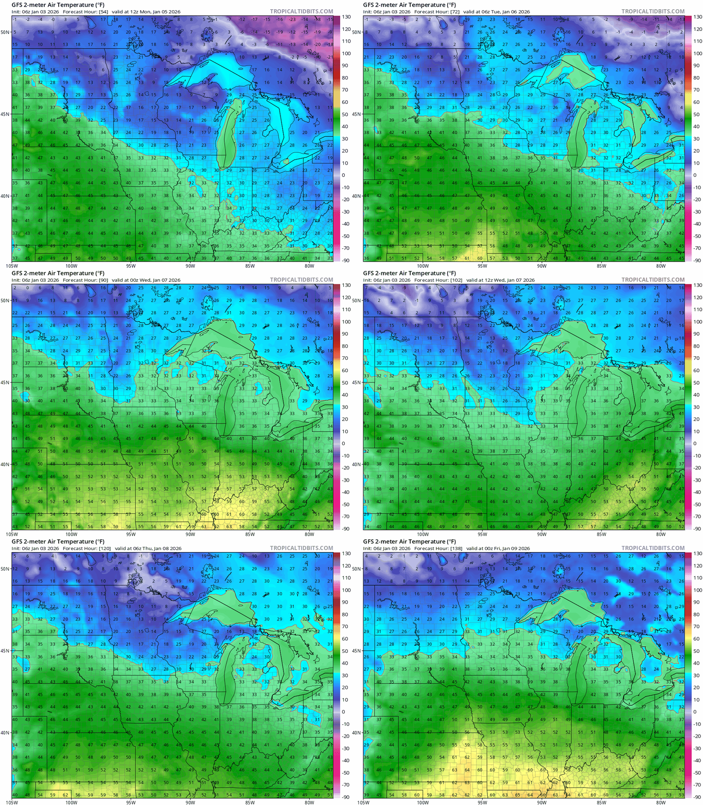
Temperatures next week are expected to trend above freezing, with highs in the 20s and 30s and even some 40s possible. The current snow depth of around 6 inches is expected to diminish significantly by the end of the week.