
Wintry mix expected Sunday, milder weather for next week
Freezing rain and sleet possible late Sunday morning and afternoon
Go Deeper.
Create an account or log in to save stories.
Like this?
Thanks for liking this story! We have added it to a list of your favorite stories.


A quiet Saturday evening gives way to a potentially complex wintry mix late Sunday morning into the afternoon.
Wintry mix moves in for Sunday
Cloud cover continues Saturday night as temperatures fall into the single digits below zero across northern Minnesota, around 13 degrees in the Twin Cities metro, and into the low teens and 20s in southwestern Minnesota.

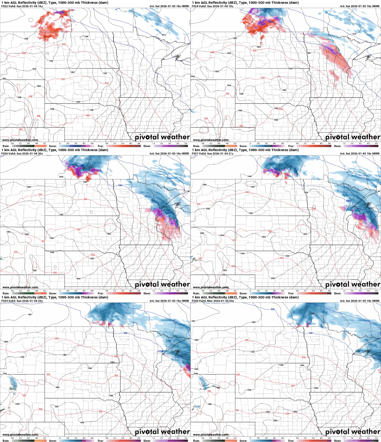
Conditions remain quiet until late Saturday morning or early afternoon, when the next round of wintry weather moves in. Warmer air aloft overriding subfreezing air at the surface will create a complicated precipitation forecast.
Turn Up Your Support
MPR News helps you turn down the noise and build shared understanding. Turn up your support for this public resource and keep trusted journalism accessible to all.
Freezing rain or sleet is more likely late Sunday morning into the early afternoon, especially across east-central Minnesota, while snow becomes more likely later in the afternoon and evening across northeastern Minnesota and into western Wisconsin.
Although ice accumulation and snowfall amounts appear light across east-central Minnesota, they could still lead to hazardous travel conditions.

Northeastern Minnesota and western Wisconsin could pick up a quick several inches of snow, with snowfall possibly becoming heavy at times. Along the North Shore, 2 to 4 inches of snow are expected for locations such as Grand Portage, Silver Bay and Duluth.

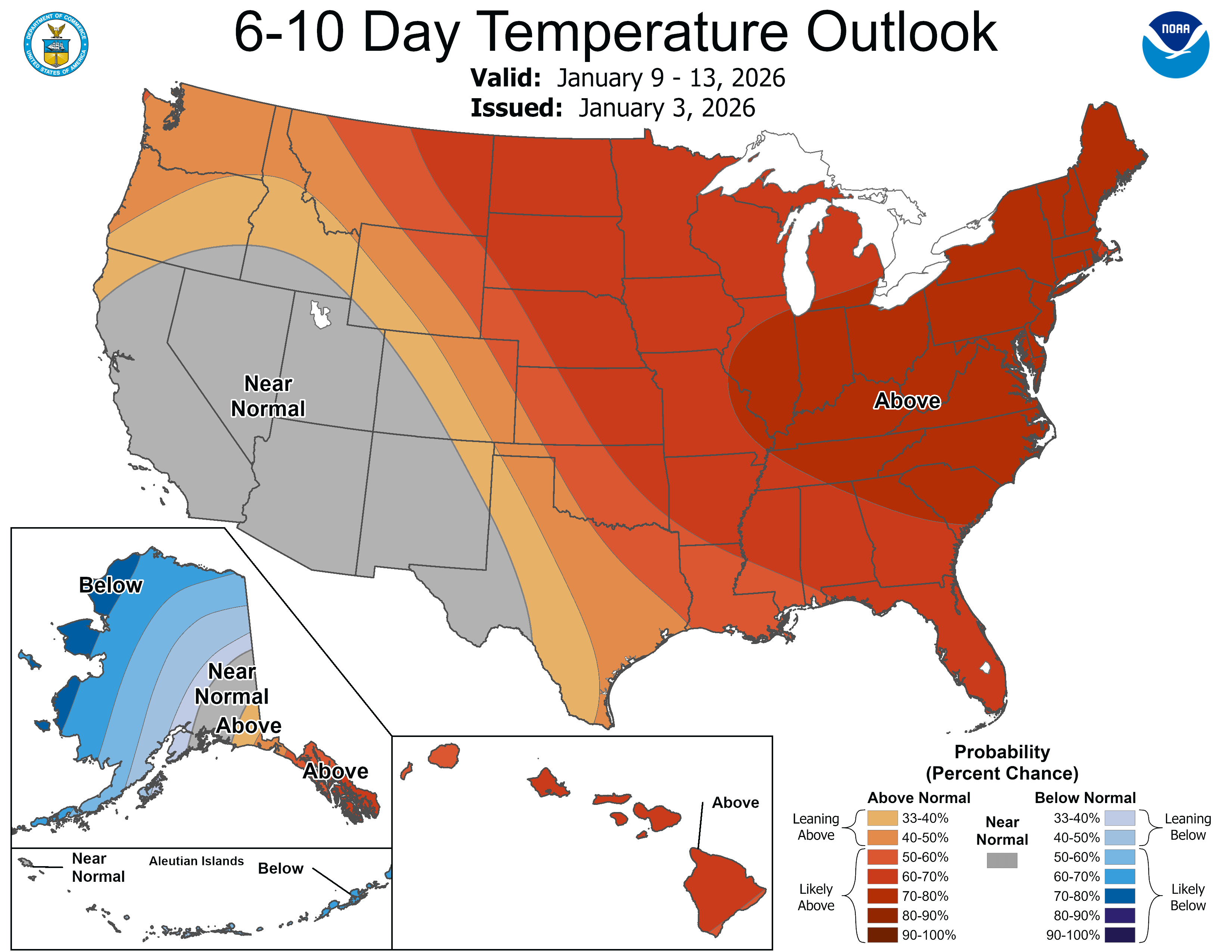
Looking ahead, above-normal temperatures are expected through much of next week as a warmer pattern settles in. Highs are forecast to run 10 to 15 degrees above normal, remaining above freezing and possibly reaching the 40s at times, with overnight lows mostly in the 20s.
A potential system Monday night into Tuesday could bring another chance for a wintry mix to the state. Additional details will be available as the system approaches.

