Wintry mix chances continue as warming trend develops
Second round of wintry weather possible late Monday
Go Deeper.
Create an account or log in to save stories.
Like this?
Thanks for liking this story! We have added it to a list of your favorite stories.


Wintry mix chances continue across Minnesota as temperatures begin a gradual warming trend this week.
One system moves out, another moves in Monday
Winds will diminish Sunday night, bringing calmer conditions. Overnight low temperatures are expected to range from the teens to the upper 20s in southwestern Minnesota.

A winter weather advisory remains in effect from northwestern Minnesota through the Brainerd Lakes area to the North Shore, where light ice accumulation and accumulating snowfall continue.
Turn Up Your Support
MPR News helps you turn down the noise and build shared understanding. Turn up your support for this public resource and keep trusted journalism accessible to all.

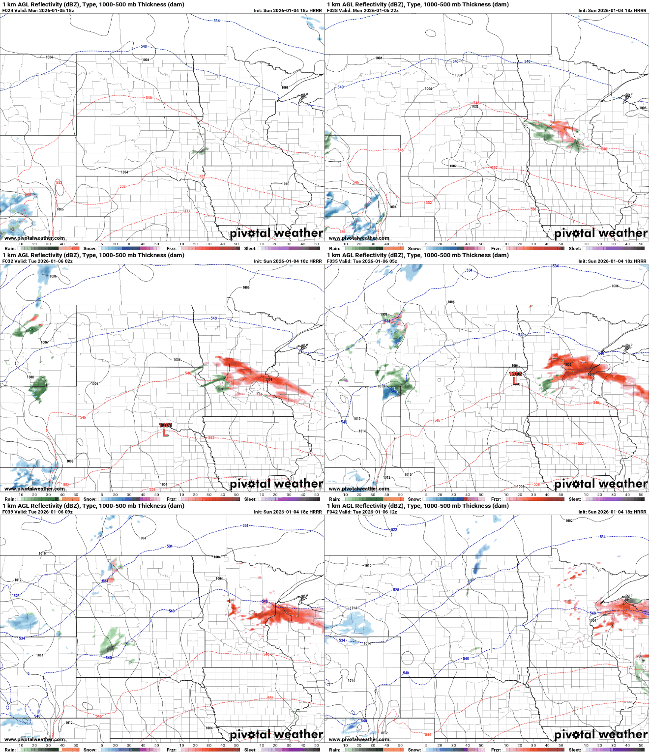
The next system, expected Monday afternoon into early Tuesday, is forecast to produce a narrow but potentially intense band of precipitation. Current forecast models suggest the most likely corridor stretches from west-central Minnesota through the Twin Cities and into western Wisconsin.
Warmer air aloft means snow is not expected with this system. Instead, precipitation is likely to fall as rain or freezing rain. Temperatures on Monday are forecast to hover between 30 and 34 degrees during the event.

Some forecast models indicate that precipitation amounts could be higher than expected. If that occurs, significant ice accumulation is possible.

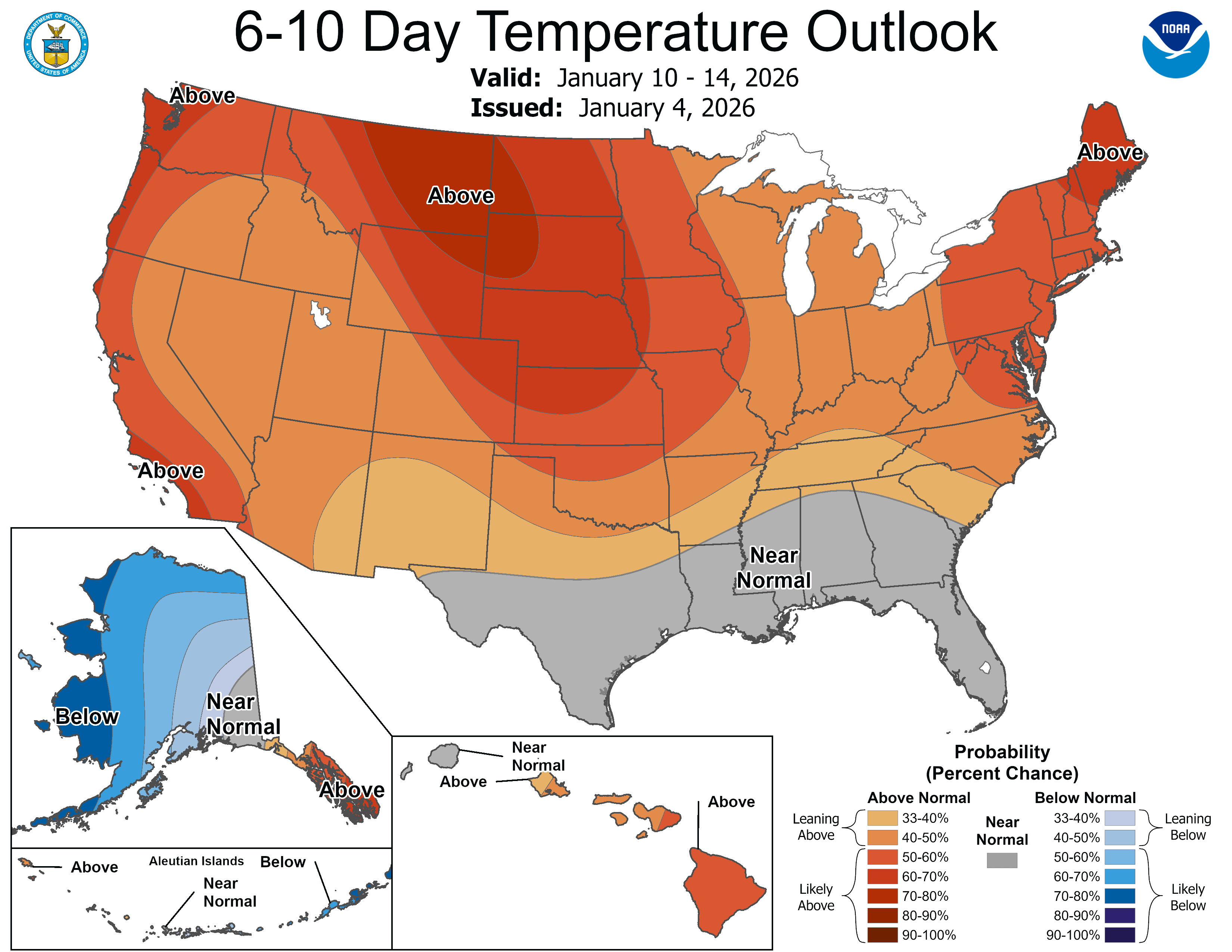
After this system moves out, a notable January thaw is expected Tuesday through Thursday. Highs could reach the 40s in parts of southwestern Minnesota, especially where snow cover is thin. Wednesday’s highs are forecast to peak in the upper 30s to lower 40s, significantly reducing any remaining snowpack.