
Gloomy, foggy Monday to give way to freezing rain by night
Narrow band of rain, ice could bring localized travel problems

Go Deeper.
Create an account or log in to save stories.
Like this?
Thanks for liking this story! We have added it to a list of your favorite stories.


Foggy conditions Monday will give way to freezing rain overnight under a winter weather advisory.
Foggy start followed by freezing rain
A foggy and gloomy Monday is expected across the Upper Midwest as warmer temperatures build into the region. Highs will reach the mid-20s in northern Minnesota, rise into the low to mid-30s across much of the state, and climb into the low 40s in southwestern Minnesota.

By early Monday evening, precipitation is expected to spread into southern Minnesota as the next weather disturbance moves east from the Rockies into Iowa.
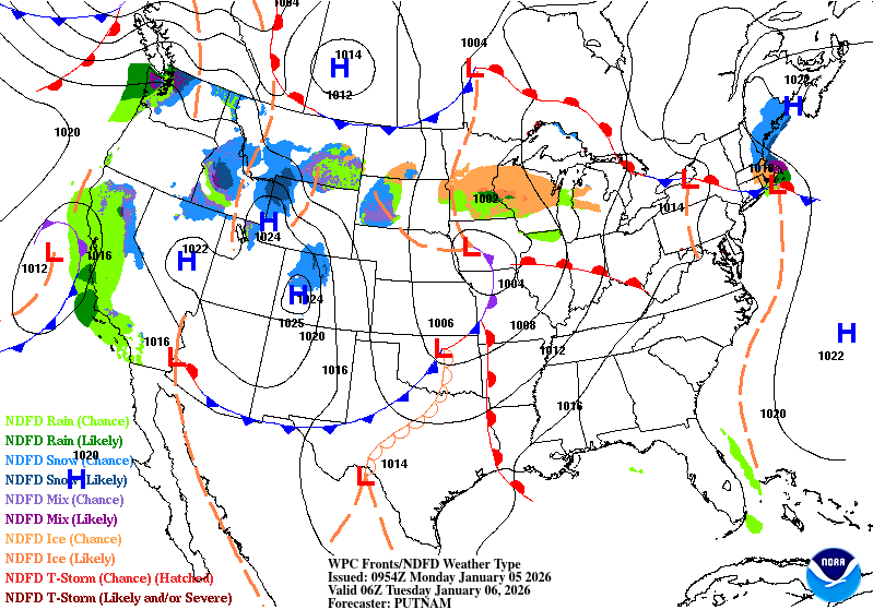
A winter weather advisory is in effect from 9 p.m. Monday to noon Tuesday for much of central and southern Minnesota, including the Twin Cities metro area and extending into west-central Wisconsin.
Turn Up Your Support
MPR News helps you turn down the noise and build shared understanding. Turn up your support for this public resource and keep trusted journalism accessible to all.
Forecast models show the heaviest precipitation will likely fall along a narrow corridor from near Willmar east through the Twin Cities metro area and toward Eau Claire, Wis. Because the band is expected to be narrow, even slight shifts in its position could produce widely varying impacts across the region.
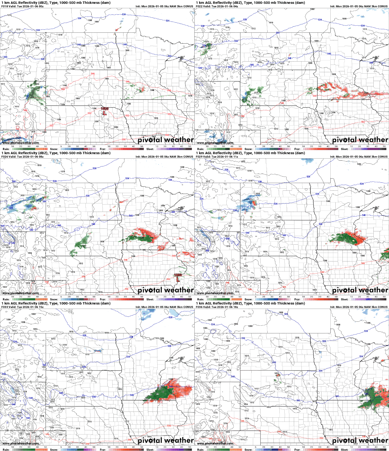
Areas that receive rain will have cold ground temperatures that could allow ice to accumulate on untreated roads even where air temperatures rise slightly above freezing.
In locations where air temperatures remain just below freezing, freezing rain could accumulate up to one-tenth or two-tenths of an inch.

The precipitation band is expected to shift east by late Tuesday morning, with afternoon temperatures rising into the mid-30s, leading to improved travel conditions.


