
Messy, icy start to Tuesday with a mix of freezing rain and rain
Dense fog and freezing fog limit visibility, create slippery conditions
Go Deeper.
Create an account or log in to save stories.
Like this?
Thanks for liking this story! We have added it to a list of your favorite stories.


A messy start to Tuesday is underway across Minnesota and western Wisconsin as freezing rain and rain combine with dense and freezing fog, reducing visibility and creating slick travel conditions.
Wintry mix, fog, and ice give way to a brief warmup
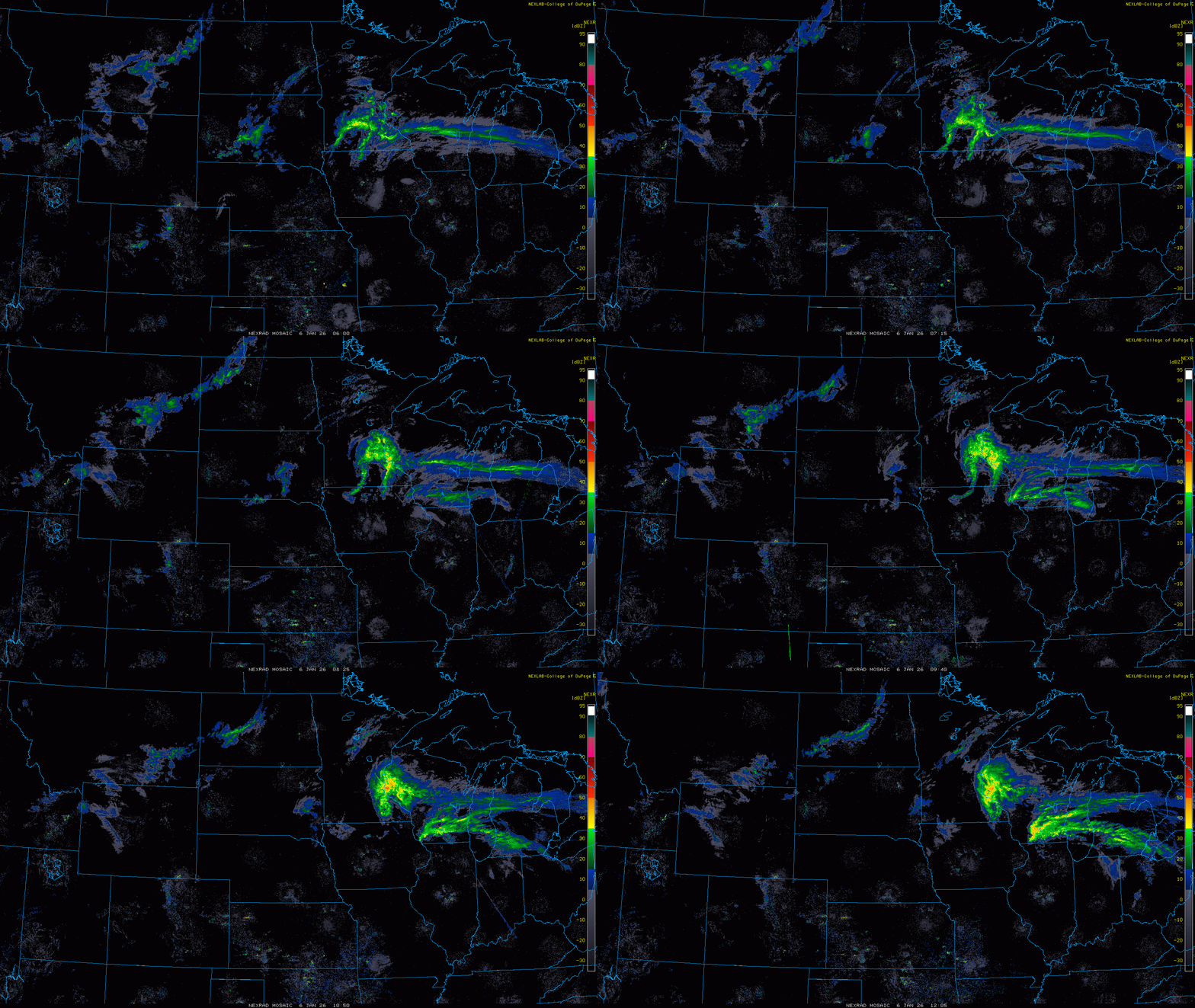
Radar shows a moderate area of precipitation moving across east-central Minnesota and into western Wisconsin early Tuesday morning, creating messy travel conditions.
With temperatures hovering near the freezing mark, precipitation is flipping between rain, freezing rain and a rain–freezing rain mix.
Our greatest concern in Tuesday’s forecast is across western Wisconsin, where temperatures are generally between 27 and 32 degrees. These colder temperatures will support the highest ice accumulations, with some locations forecast to approach one-quarter inch of ice.
Turn Up Your Support
MPR News helps you turn down the noise and build shared understanding. Turn up your support for this public resource and keep trusted journalism accessible to all.
A winter weather advisory is in effect for the metro area until 9 a.m., and for areas farther east until noon, due to the threat of ice accumulation

Farther west, precipitation has already ended, but fog and freezing fog continue to linger. Visibility is generally around a couple of miles, although many areas have dropped below a half mile.
Due to ongoing visibility concerns, a dense fog advisory remains in effect for a large portion of the state north of a line from Morris and Alexandria to Mille Lacs.

Temperatures are expected to remain fairly steady on Tuesday, with highs in the low 20s across northern Minnesota and upper 20s to near freezing across central Minnesota, including the metro. Farther southwest, highs will warm into the low 40s.

Wednesday is shaping up to be the warmest day we’ve seen in nearly two weeks. High temperatures will climb into the mid-30s to low 40s, and sunshine will finally return.

A brief cooldown is expected this weekend, with temperatures returning to seasonal levels in the teens and 20s. Another warm-up to the 30s and 40s is expected early next week.

