
Warmer Wednesday followed by a rain-snow mix Thursday

Go Deeper.
Create an account or log in to save stories.
Like this?
Thanks for liking this story! We have added it to a list of your favorite stories.


Slippery start Wednesday
Be mindful of potentially slick conditions Wednesday morning — both from areas of freezing fog and Tuesday’s moisture.
The Monday-night-into-Tuesday round set a daily precipitation record at Minneapolis-St. Paul International Airport of 0.69 of an inch, so there were plenty of puddles and areas of slush that may have turned surprisingly slippery Wednesday morning with temperatures in the 20s.
Fog has been most widespread over areas of eastern Minnesota into western Wisconsin, and it will gradually erode after sunrise. A dense fog advisory limited to southeastern Minnesota includes Rochester and Austin until 9 am.
Warming Wednesday afternoon
We'll go on to see partly sunny skies and highs above freezing statewide. The Twin Cities will approach 40 degrees and Marshall could brush close to 50.
Turn Up Your Support
MPR News helps you turn down the noise and build shared understanding. Turn up your support for this public resource and keep trusted journalism accessible to all.
Expect some of the snowmelt to ice over Wednesday night as temperatures fall back into the 20s. We could once again see areas of freezing fog going into the Thursday morning commute.

Thursday remains grayer with highs in the mid-30s and a rain-snow mix in the afternoon and evening.

There are two systems on the horizon with the first arriving on Thursday and the second on Saturday.
Thursday's system will focus mainly on southern and eastern Minnesota into Wisconsin.
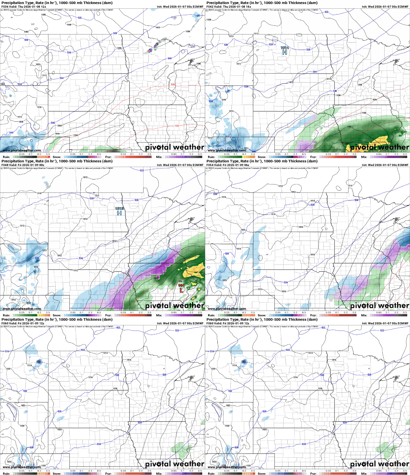
Snowfall amounts will be minimal with temperatures above freezing, but it could be just enough for a slick evening commute Thursday. Expect accumulation to be generally less than 1 inch.

The track of the second system is still subject to change, but we'd currently look to southeastern Minnesota for the greatest chance of more than 1 inch of snow.
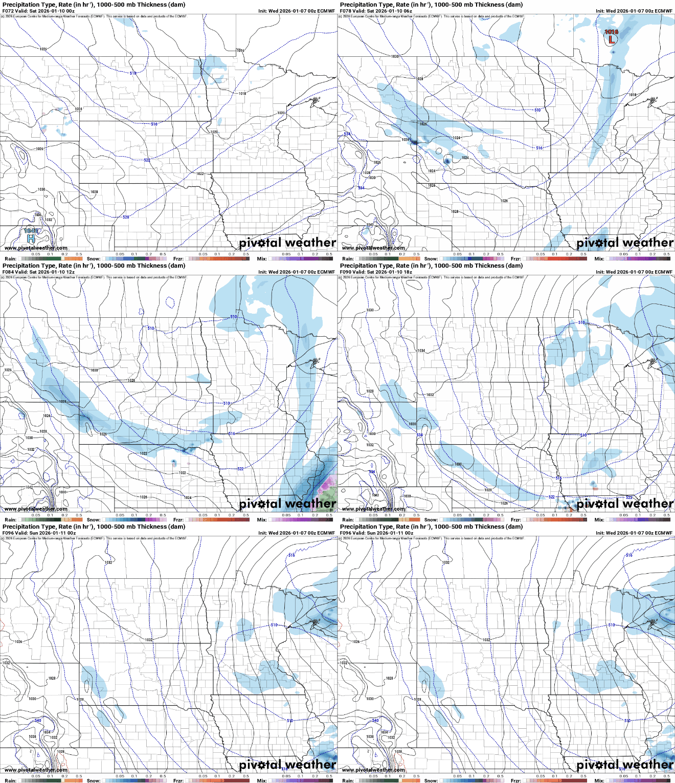
Sunday looks quiet and seasonably cool, then we could enter another mild stretch starting Monday.

