
Little snow, big temperature swings
Clipper brings light snow chances Friday night into Saturday

Go Deeper.
Create an account or log in to save stories.
Like this?
Thanks for liking this story! We have added it to a list of your favorite stories.


Sunshine and above-average temperatures highlight Friday. Changes arrive Friday night as a clipper brings a light snow chance into Saturday followed by cooler air this weekend.
Brighter, warm Friday
A fog-free morning offers a welcome change. Temperatures Friday will rebound to near or slightly above freezing by late afternoon as southwesterly winds strengthen ahead of a cold front approaching from the Dakotas.

By Friday evening, a clipper system will bring a narrow band of snow along and ahead of the cold front. The best chance for minor accumulation, generally up to about one-half inch, will be across eastern Minnesota and western Wisconsin.
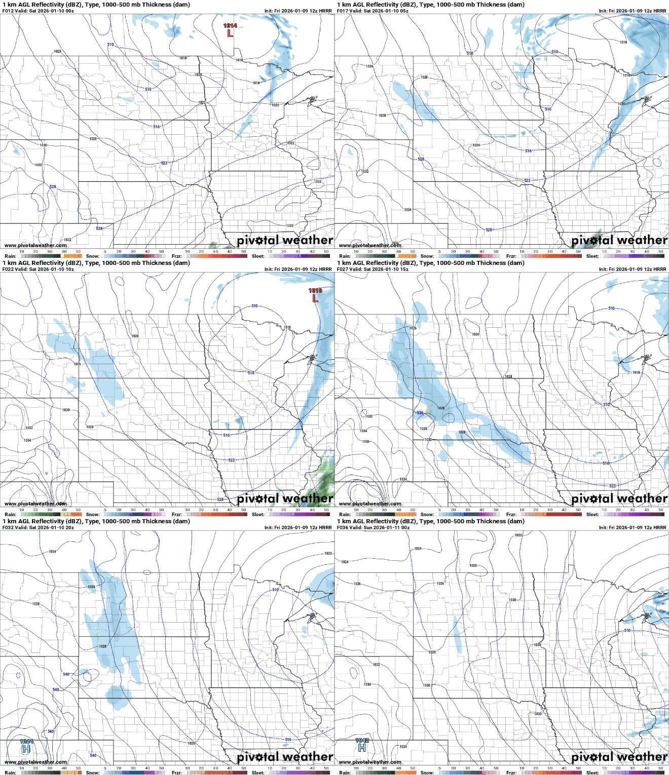
Northeastern Minnesota could see a dusting to a couple of inches by early Saturday as the system wraps up.

Temperatures will trend downward Saturday behind the front, but readings should remain near seasonal averages with highs in the teens and low 20s. Sunday will be slightly warmer with highs in the 20s and 30s.

A big warmup is expected Monday and Tuesday with sunshine and highs in the range of 35 to 45 degrees.
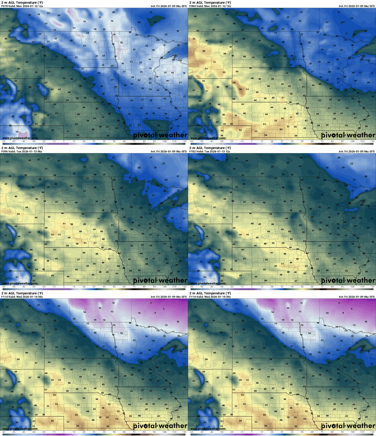
A clipper train could move in next week as the weather pattern shifts, bringing multiple chances for light snow and cooler temperatures in the second half of January.
Turn Up Your Support
MPR News helps you turn down the noise and build shared understanding. Turn up your support for this public resource and keep trusted journalism accessible to all.

