
Mild night sets up a warm, sunny Monday
Warm Pacific air brings highs 10-15 degrees above average

Go Deeper.
Create an account or log in to save stories.
Like this?
Thanks for liking this story! We have added it to a list of your favorite stories.


Mild temperatures overnight Sunday will carry into Monday, bringing a warm and pleasant start to the work week. Small chances for snow linger through the week, with much cooler air arriving by next weekend.
Mild overnight
Temperatures will stay mild overnight Sunday, setting the stage for a pleasant Monday. Lows will be in the 20s mostly across the state.
Sunshine will be more noticeable Monday and will help temperatures trend upward as milder Pacific air moves in. Highs will be in the 30s and 40s to start the workweek.
Turn Up Your Support
MPR News helps you turn down the noise and build shared understanding. Turn up your support for this public resource and keep trusted journalism accessible to all.

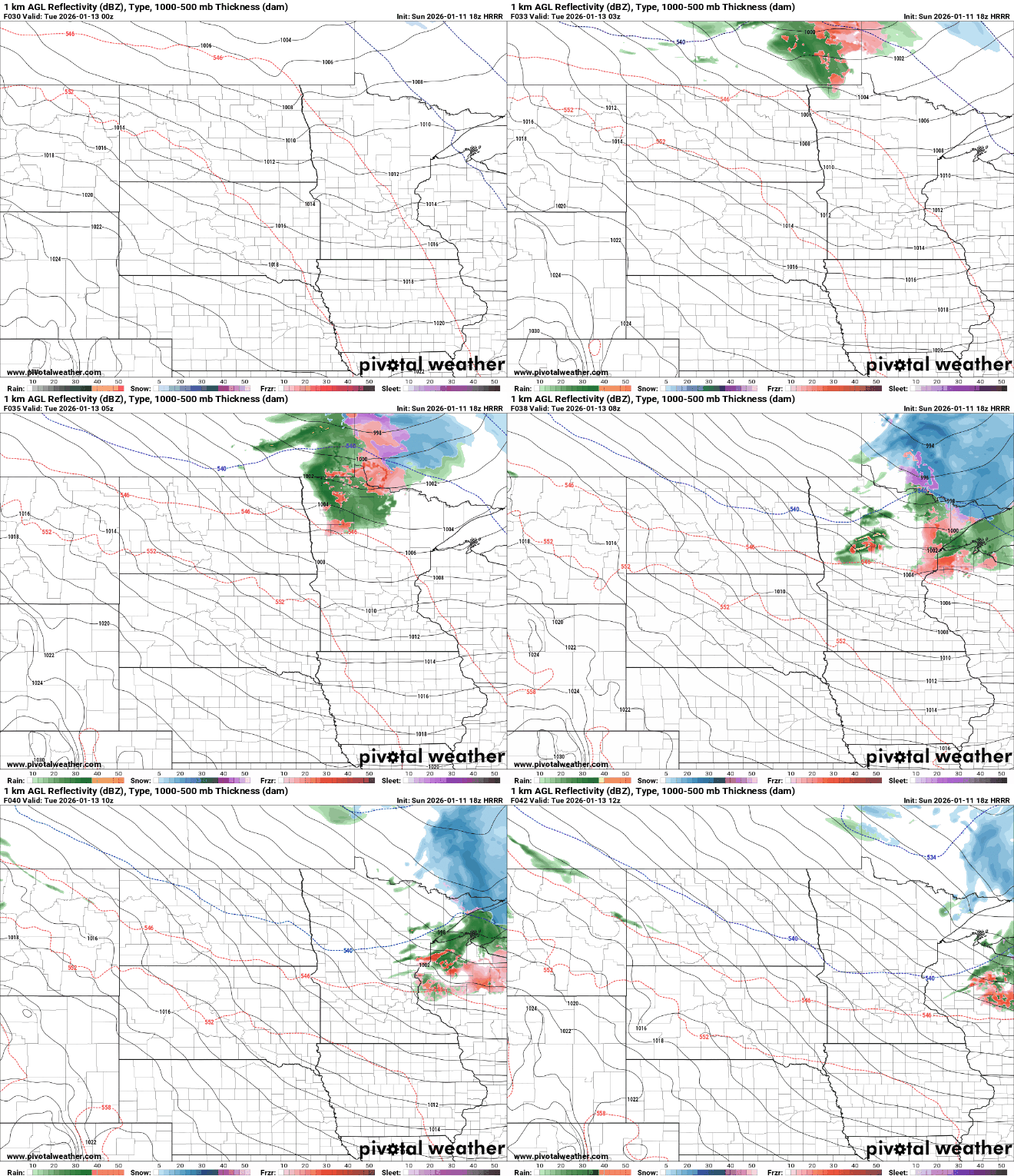
A weak system Monday night into Tuesday may bring light precipitation mainly to northern Minnesota and northern Wisconsin. With warmer temperatures, a brief wintry mix is possible, including a chance of light freezing rain mainly north of Interstate 94.
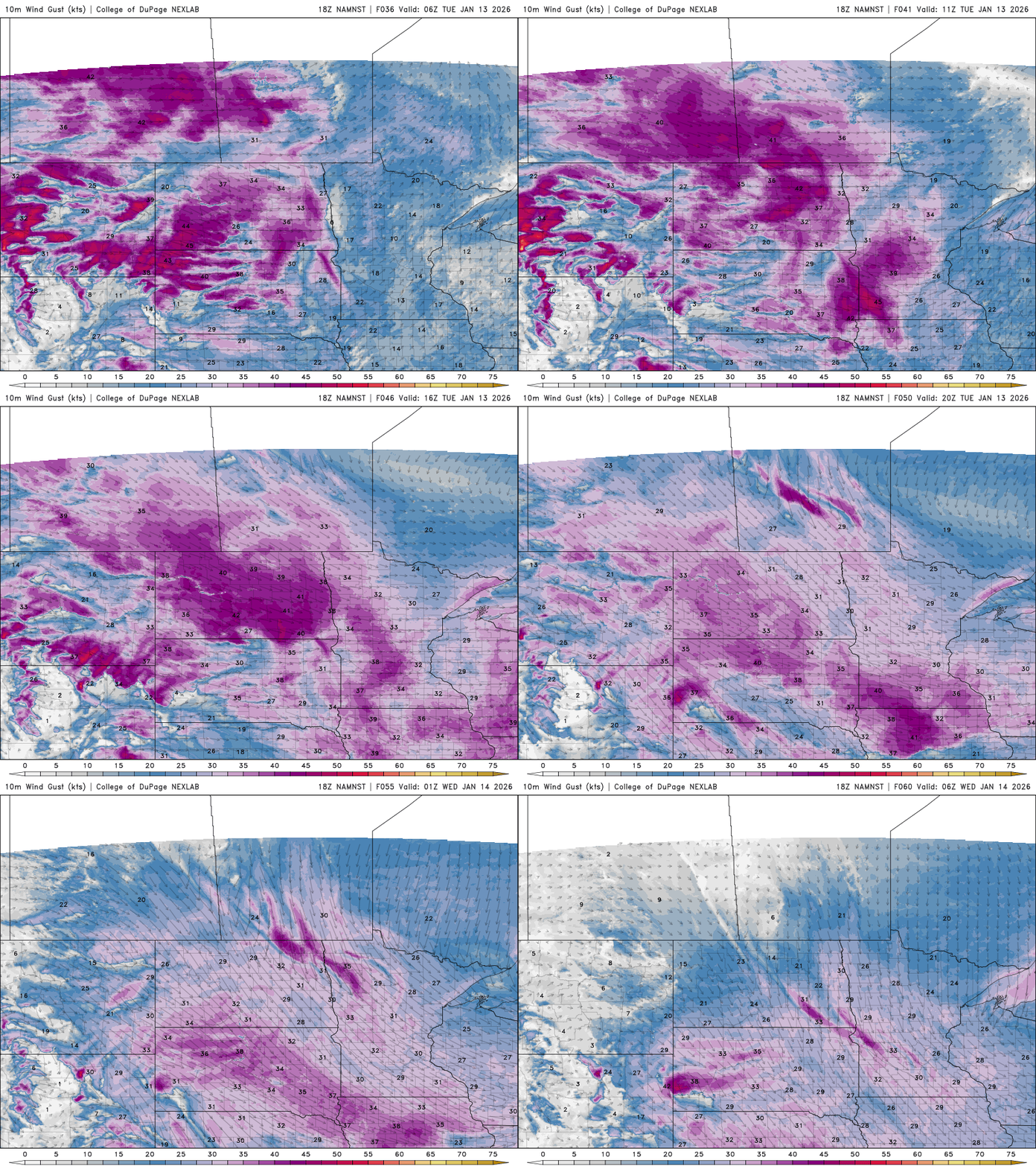
A strong cold front will move through Tuesday, bringing gusty west to northwest winds and a sharp drop in temperatures. Gusts could reach 30 to 40 mph at times.
Snow chances late week
Snow chances will increase by Thursday and continue into the weekend as several weak systems move through. While snowfall rates look light, the extended duration could lead to accumulations of a few inches, with the best chance for higher totals late Thursday into Friday.

Looking ahead, much colder air is expected to settle in during the second half of the month. Highs may struggle to reach the teens, with lows dipping into the single digits, signaling a return to a more typical midwinter pattern after recent warmth.

