January warmth gives way to snow, colder air by week’s end
Wintry mix possible late Monday night into early Tuesday

Go Deeper.
Create an account or log in to save stories.
Like this?
Thanks for liking this story! We have added it to a list of your favorite stories.


January warmth will begin to fade this week as snow chances increase and colder air moves in by the end of the workweek. A wintry mix is possible late Monday night into Tuesday, mainly north of Interstate 94.
Warm Pacific air means a wintry mix
A Pacific air mass will be firmly in place as we start the work week. High temperatures will climb into the 30s and 40s with some spots in southwestern Minnesota flirting with the 50s. Add in plenty of sunshine and Monday will feel more like spring than midwinter.

The next system will move from northeastern North Dakota into northern Wisconsin late Monday night into Tuesday morning. Areas along and north of a line from St. Cloud to Eau Claire, Wis., could see light precipitation overnight.
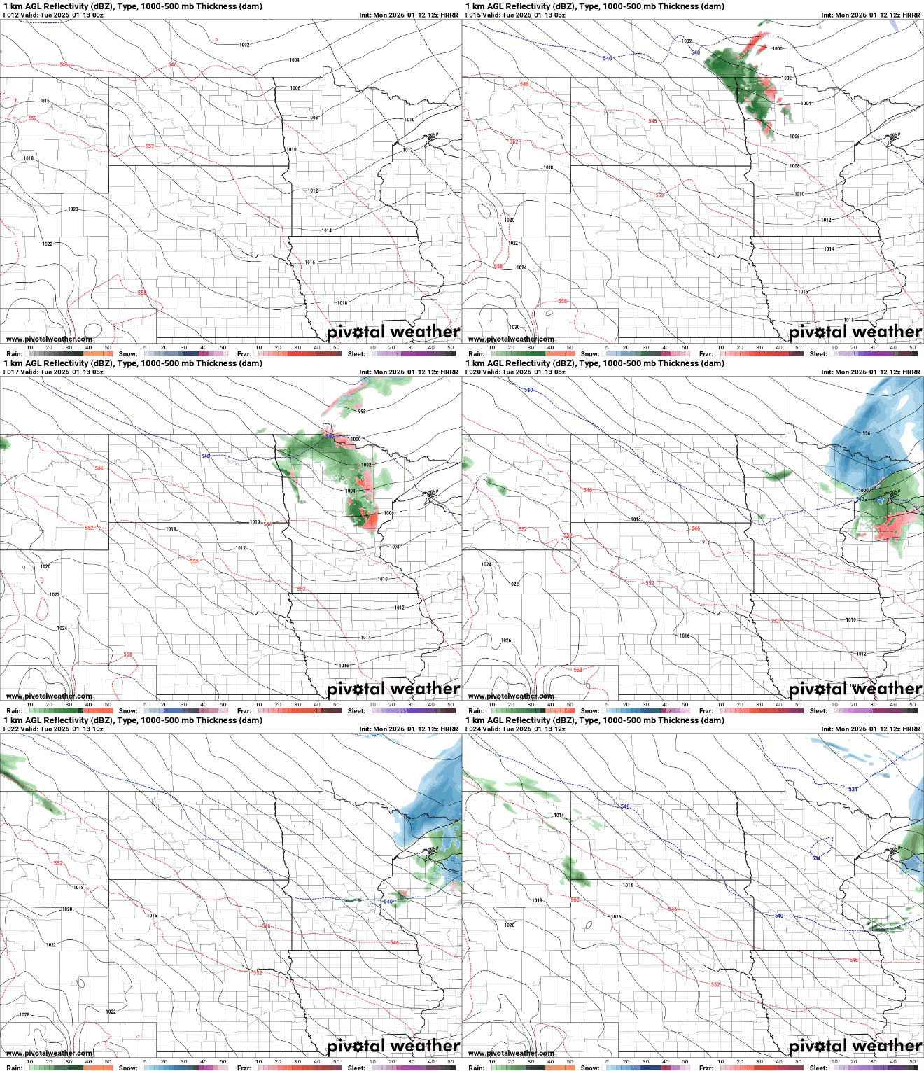
With temperatures well above freezing in most areas, precipitation is expected to fall mainly as rain. Cooler air farther north could allow pockets of freezing rain Tuesday morning north of Interstate 94.
Turn Up Your Support
MPR News helps you turn down the noise and build shared understanding. Turn up your support for this public resource and keep trusted journalism accessible to all.
Tuesday will remain mild, with highs similar to Monday and temperatures staying well above seasonal averages.

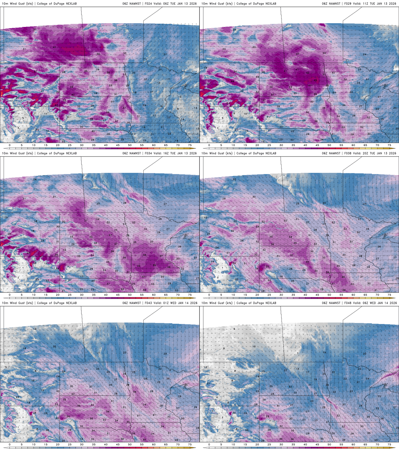
A strong cold front will move through Tuesday night, bringing gusty winds of around 40 mph. Temperatures will drop sharply during the overnight hours and a few flurries are possible.
From Thursday through Friday night, multiple weak systems will move through the region in a northerly flow pattern.
This unsettled weather will bring light snow over an extended period, with totals of 2 to 4 inches possible by Saturday. The heaviest snow is expected late Thursday into Friday.

Roller coaster temperatures
Temperatures will continue to fluctuate this week, with highs near seasonal averages through the rest of the week. A stronger cooldown is expected for the weekend, with highs struggling to reach the teens and single digits.
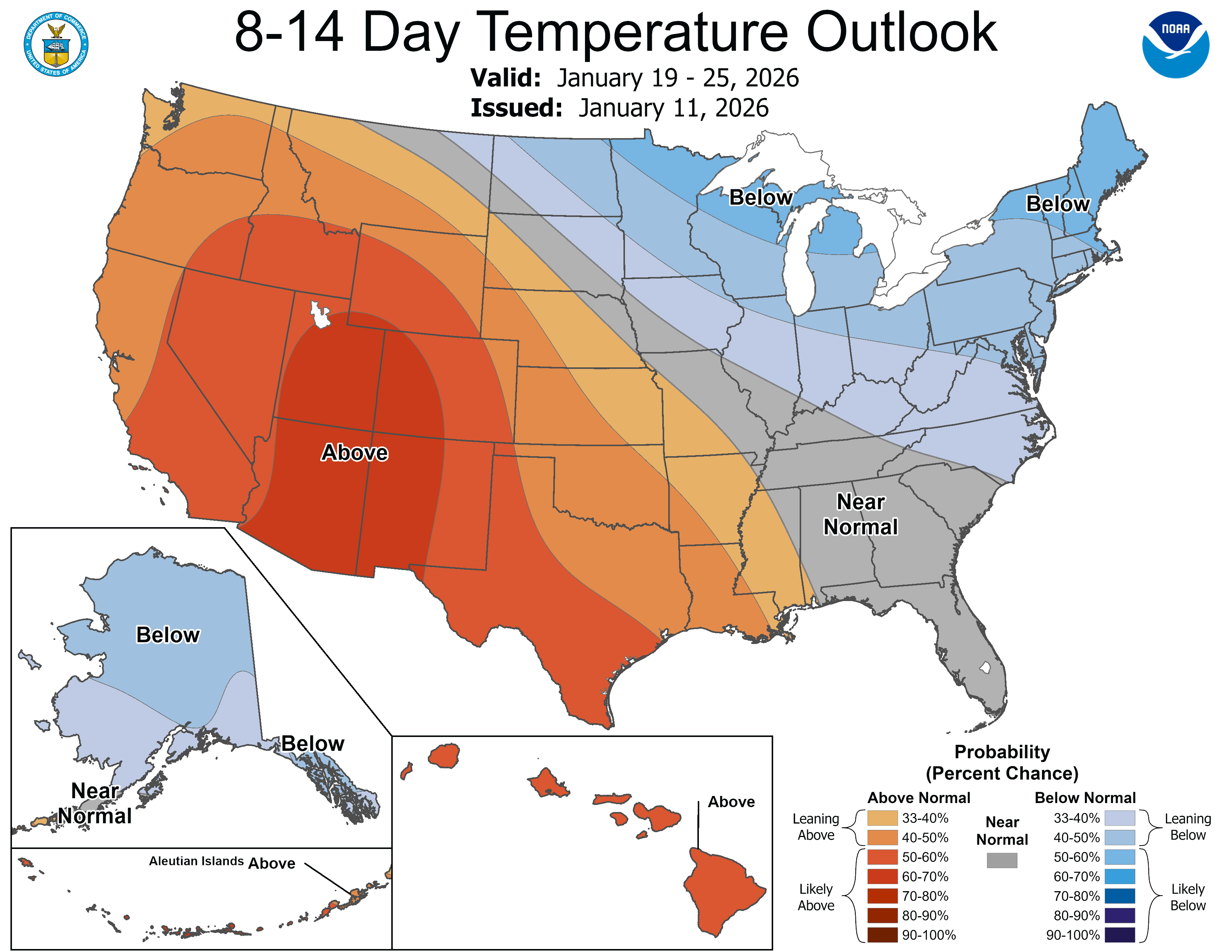
Looking ahead, the second half of January is expected to be colder and snowier, returning to a more typical midwinter pattern after the recent stretch of unusual warmth.